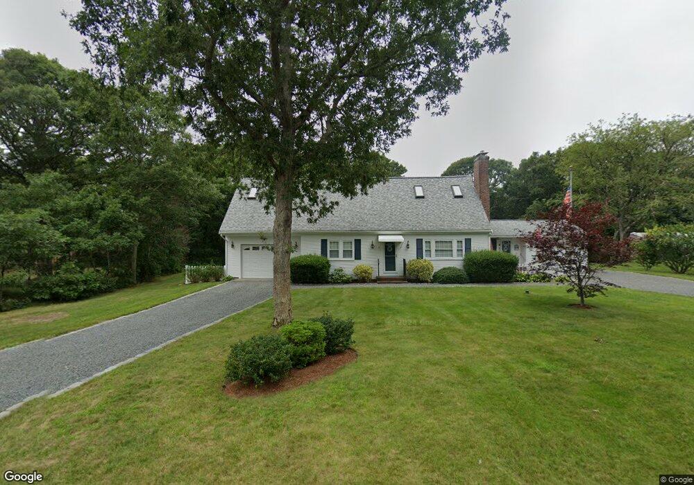
15 Runway Ln Eastham, MA 02642
Estimated Value: $733,000 - $909,420
2
Beds
1
Bath
1,001
Sq Ft
$820/Sq Ft
Est. Value
About This Home
This home is located at 15 Runway Ln, Eastham, MA 02642 and is currently estimated at $820,605, approximately $819 per square foot. 15 Runway Ln is a home located in Barnstable County with nearby schools including Eastham Elementary School, Nauset Regional Middle School, and Nauset Regional High School.
Ownership History
Date
Name
Owned For
Owner Type
Purchase Details
Closed on
Nov 3, 2023
Sold by
Canfield Roberta P and Podgurski Donna D
Bought by
Canfield Irt and Podgurski
Current Estimated Value
Purchase Details
Closed on
Mar 30, 2021
Sold by
Canfield Roberta P
Bought by
Canfield Roberta P and Podgurski Donna D
Purchase Details
Closed on
Oct 5, 2020
Sold by
Canfield Robert W and Canfield Roberta P
Bought by
Canfield Roberta P
Purchase Details
Closed on
Jan 30, 2019
Sold by
Canfield Robert W and Canfield Roberta P
Bought by
Canfield Robert W and Canfield Roberta P
Purchase Details
Closed on
Jan 21, 1998
Sold by
Mcgauley Walter J and Mcgauley Helen T
Bought by
Canfield Robert W and Canfield Roberta P
Create a Home Valuation Report for This Property
The Home Valuation Report is an in-depth analysis detailing your home's value as well as a comparison with similar homes in the area
Home Values in the Area
Average Home Value in this Area
Purchase History
| Date | Buyer | Sale Price | Title Company |
|---|---|---|---|
| Canfield Irt | -- | None Available | |
| Canfield Roberta P | -- | None Available | |
| Canfield Roberta P | -- | None Available | |
| Canfield Robert W | -- | -- | |
| Canfield Robert W | $130,000 | -- |
Source: Public Records
Tax History Compared to Growth
Tax History
| Year | Tax Paid | Tax Assessment Tax Assessment Total Assessment is a certain percentage of the fair market value that is determined by local assessors to be the total taxable value of land and additions on the property. | Land | Improvement |
|---|---|---|---|---|
| 2025 | $6,045 | $784,100 | $304,000 | $480,100 |
| 2024 | $5,337 | $761,400 | $295,100 | $466,300 |
| 2023 | $4,959 | $684,900 | $273,300 | $411,600 |
| 2022 | $4,493 | $523,700 | $244,000 | $279,700 |
| 2021 | $4,372 | $476,200 | $221,800 | $254,400 |
| 2020 | $4,049 | $464,300 | $226,300 | $238,000 |
| 2019 | $3,746 | $454,000 | $219,800 | $234,200 |
| 2018 | $3,682 | $441,000 | $213,400 | $227,600 |
| 2017 | $3,414 | $432,200 | $209,200 | $223,000 |
| 2016 | $3,004 | $403,800 | $181,900 | $221,900 |
| 2015 | $2,797 | $393,900 | $178,300 | $215,600 |
Source: Public Records
Map
Nearby Homes
- 10 Field Rd
- 60 Briggs Field Rd
- 255 Massasoit Rd
- 85 Huckleberry Ln
- 10 Kellies Path
- 35 Old County Rd Unit 1
- 30 Mayflower Rd
- 100 Orchard Dr
- 72 Dory Ln
- 45 Cranberry Cir
- 125 Bay Rd
- 45 Starlight Ln
- 50 Silver Oak Rd
- 10 Alston Ct
- 115 Sparrowhawk Ln
- 4 Wood Duck Ln
- 495 Aspinet Rd
- 160 Toland Dr
- 1285 Massasoit Rd
- 310 Edgewood Rd
- 2550 Herring Brook Rd
- 25 Runway Ln
- 2570 Herring Brook Rd
- 300 Edgewood Rd
- 2570 Herring Brook
- 260 Edgewood Rd
- 320 Edgewood Rd
- 250 Edgewood Rd
- 2600 Herring Brook Rd
- 35 Runway Ln
- 315 Edgewood Rd
- 305 Edgewood Rd
- 325 Edgewood Rd
- 2575 Herring Brook Rd
- 2555 Herring Brook Rd
- 2620 Herring Brook Rd
- 2605 Herring Brook Rd
- 40 Runway Ln
- 335 Edgewood Rd