M
Seller's Agent in 2018
Margaret H. White
Hob Knob Realty, LLC
Estimated Value: $5,232,982 - $6,655,000
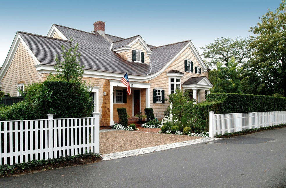
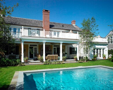
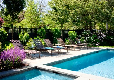
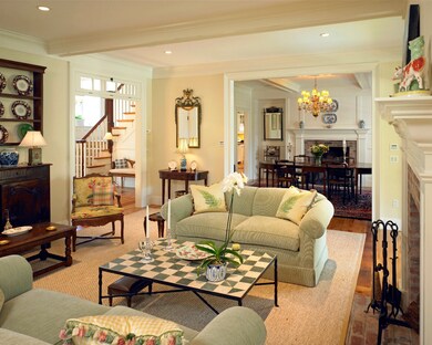
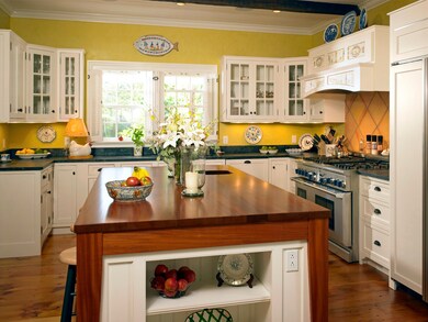
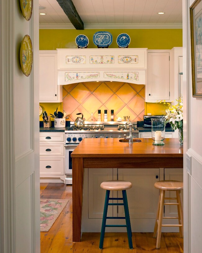
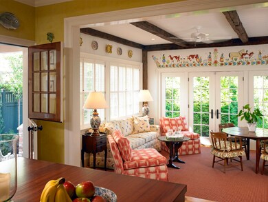
Custom designed and built house by Patrick Ahern and Hob Knob Construction. No detail overlooked! Turn key Village Home. Hand crafted architectural details through out. Gourmet cooks kitchen with sunroom overlooking the yard and pool. Formal dining room, living room and antique paneled library all with wood burning fireplaces. Four bedrooms upstairs with access to outside decks. Master bedroom has wood burning fireplace. Lower level complete with one bedroom private bath, billiards room and large laundry room. A must see fabulous house!
Last Agent to Sell the Property
Margaret H. White
Hob Knob Realty, LLC Listed on: 03/31/2015
Last Buyer's Agent
Margaret H. White
Hob Knob Realty, LLC Listed on: 03/31/2015
| Date | Buyer | Sale Price | Title Company |
|---|---|---|---|
| Manfredi Frances A | $4,100,000 | -- | |
| Ojai M&E Llc | -- | -- |
| Date | Status | Borrower | Loan Amount |
|---|---|---|---|
| Open | Manfredi Frances A | $3,320,000 | |
| Previous Owner | Ojai M&E Llc | $200,000 |
| Date | Event | Price | List to Sale | Price per Sq Ft |
|---|---|---|---|---|
| 11/02/2018 11/02/18 | Sold | $4,100,000 | -15.0% | $820 / Sq Ft |
| 09/08/2018 09/08/18 | Pending | -- | -- | -- |
| 03/31/2015 03/31/15 | For Sale | $4,825,000 | -- | $965 / Sq Ft |
| Year | Tax Paid | Tax Assessment Tax Assessment Total Assessment is a certain percentage of the fair market value that is determined by local assessors to be the total taxable value of land and additions on the property. | Land | Improvement |
|---|---|---|---|---|
| 2025 | $12,352 | $4,661,100 | $1,156,500 | $3,504,600 |
| 2024 | $11,418 | $4,477,800 | $1,156,500 | $3,321,300 |
| 2023 | $10,904 | $4,327,000 | $1,115,700 | $3,211,300 |
| 2022 | $9,884 | $3,262,000 | $1,101,400 | $2,160,600 |
| 2021 | $11,474 | $3,498,100 | $1,105,300 | $2,392,800 |
| 2020 | $11,719 | $3,498,100 | $1,105,300 | $2,392,800 |
| 2019 | $10,622 | $2,744,700 | $975,300 | $1,769,400 |
| 2018 | $10,423 | $2,693,300 | $938,000 | $1,755,300 |
| 2017 | $7,937 | $2,235,800 | $625,400 | $1,610,400 |
| 2016 | $8,094 | $2,235,800 | $625,400 | $1,610,400 |
| 2015 | $4,266 | $1,229,400 | $563,300 | $666,100 |
M
Seller's Agent in 2018
Margaret H. White
Hob Knob Realty, LLC
Source: LINK (Vineyard)
MLS Number: 28206
APN: EDGA-000020C-000183
Ask me questions while you tour the home.