Estimated Value: $251,000 - $2,021,000
2
Beds
1
Bath
952
Sq Ft
$1,459/Sq Ft
Est. Value
About This Home
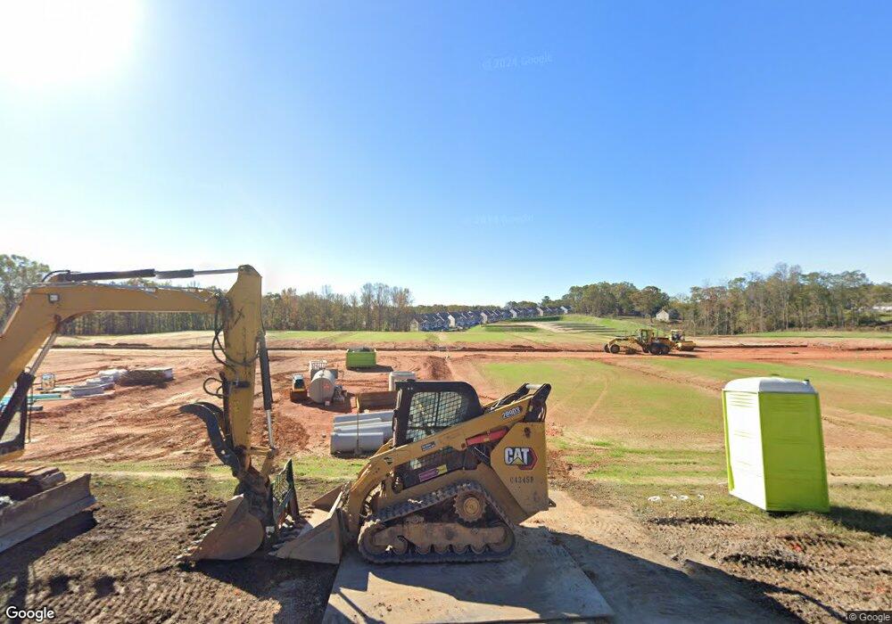
This home is located at 150 Sundyal Dr, Moore, SC 29369 and is currently estimated at $1,388,680, approximately $1,458 per square foot. 150 Sundyal Dr is a home located in Spartanburg County with nearby schools including Dorman High School Freshman Campus, Dorman High School, and GREEN Charter School Spartanburg.
Ownership History
Date
Name
Owned For
Owner Type
Purchase Details
Closed on
May 7, 2024
Sold by
Camp Rod Kendall and Camp Teri Leslie
Bought by
1776 Moore Llc
Current Estimated Value
Purchase Details
Closed on
Jul 9, 2019
Sold by
Elders Jon I and Elders Tiffany L
Bought by
Sharp Valentina
Purchase Details
Closed on
Aug 9, 2010
Sold by
Camp Charles E
Bought by
Camp Rod Kendall and Camp Teri Leslie
Purchase Details
Closed on
Feb 14, 2006
Sold by
Camp Charles E
Bought by
Camp Charles E
Purchase Details
Closed on
Sep 20, 2002
Sold by
Camp Charles E
Bought by
Camp Charles E and Camp Frances M
Create a Home Valuation Report for This Property
The Home Valuation Report is an in-depth analysis detailing your home's value as well as a comparison with similar homes in the area
Home Values in the Area
Average Home Value in this Area
Purchase History
| Date | Buyer | Sale Price | Title Company |
|---|---|---|---|
| 1776 Moore Llc | $1,900,000 | South Carolina Title | |
| Sharp Valentina | $65,000 | None Available | |
| Camp Rod Kendall | -- | -- | |
| Camp Charles E | -- | None Available | |
| Camp Charles E | -- | -- |
Source: Public Records
Tax History Compared to Growth
Tax History
| Year | Tax Paid | Tax Assessment Tax Assessment Total Assessment is a certain percentage of the fair market value that is determined by local assessors to be the total taxable value of land and additions on the property. | Land | Improvement |
|---|---|---|---|---|
| 2025 | $1,502 | -- | -- | -- |
| 2024 | $1,502 | $4,114 | $3,527 | $587 |
| 2023 | $1,502 | $4,114 | $1,531 | $2,583 |
| 2022 | $1,391 | $3,586 | $1,192 | $2,394 |
| 2021 | $1,421 | $3,660 | $1,169 | $2,491 |
| 2020 | $1,401 | $3,660 | $1,169 | $2,491 |
| 2019 | $1,395 | $3,660 | $1,169 | $2,491 |
| 2018 | $113 | $3,660 | $1,169 | $2,491 |
| 2017 | $125 | $3,184 | $962 | $2,222 |
| 2016 | $123 | $3,190 | $964 | $2,226 |
| 2015 | $406 | $2,148 | $664 | $1,484 |
| 2014 | $391 | $2,148 | $664 | $1,484 |
Source: Public Records
Map
Nearby Homes
- 1732 Constitution Ln
- 1728 Constitution Ln
- 1724 Constitution Ln
- 1720 Constitution Ln
- 1716 Constitution Ln
- 1820 Betsy Ross Dr
- 1824 Betsy Ross Dr
- 1813 Betsy Ross Dr
- 1817 Betsy Ross Dr
- 1821 Betsy Ross Dr
- 1825 Betsy Ross Dr
- 230 Donegal Dr
- 1615 Burtonwood Dr
- 126 Jay Cir
- 386 E Killarney Lake
- 105 Pimmitt Run
- 4217 Anderson Mill Rd
- 214 Rivermill Ct
- 4527 Anderson Mill Rd
- 124 Sugarmill Ln
- 120 Sugarmill Ln
- 109 Bowman Ct
- 169 Sundyal Dr
- 4505 Anderson Mill Rd
- 128 Sugarmill Ln
- 112 Sugarmill Ln
- 4525 Anderson Mill Rd
- 108 Bowman Ct
- 175 Sundyal Dr
- 105 Bowman Ct
- 150 Simmons Dr
- 132 Sugarmill Ln
- 183 Sundyal Dr
- 101 Bowman Ct
- 106 Sugarmill Ln
- 4468 Anderson Mill Rd
- 104 Bowman Ct
- 4468 Anderson Mill Rd
