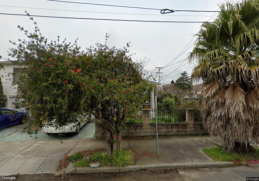
1500 Chestnut St Berkeley, CA 94702
West Berkeley NeighborhoodEstimated Value: $1,201,000 - $1,596,087
5
Beds
3
Baths
1,899
Sq Ft
$709/Sq Ft
Est. Value
About This Home
This home is located at 1500 Chestnut St, Berkeley, CA 94702 and is currently estimated at $1,346,022, approximately $708 per square foot. 1500 Chestnut St is a home located in Alameda County with nearby schools including Ruth Acty Elementary, Berkeley Arts Magnet at Whittier School, and Rosa Parks Elementary School.
Ownership History
Date
Name
Owned For
Owner Type
Purchase Details
Closed on
Sep 8, 2015
Sold by
Deguzman Leah
Bought by
Deguzman Leah G and De Guzman Family Living Trust
Current Estimated Value
Purchase Details
Closed on
Jul 14, 2009
Sold by
Deguzman Leah and Filomena E Bautista Revocable
Bought by
Deguzman Leah G
Purchase Details
Closed on
May 27, 2009
Sold by
Deguzman Leah and The Filomena E Bautista Revoca
Bought by
Deguzman Leah
Purchase Details
Closed on
Jul 16, 2002
Sold by
Bautista Filomena E
Bought by
Bautista Filomena E and Filomena E Bautista Revocable
Purchase Details
Closed on
Apr 3, 1996
Sold by
Bautista Brigido B and Bautista Filomena E
Bought by
Bautista Brigido B and Bautista Filomena E
Create a Home Valuation Report for This Property
The Home Valuation Report is an in-depth analysis detailing your home's value as well as a comparison with similar homes in the area
Home Values in the Area
Average Home Value in this Area
Purchase History
| Date | Buyer | Sale Price | Title Company |
|---|---|---|---|
| Deguzman Leah G | -- | None Available | |
| Deguzman Leah G | -- | Lsi Title Company | |
| Deguzman Leah | -- | None Available | |
| Bautista Filomena E | -- | -- | |
| Bautista Filomena E | -- | -- | |
| Bautista Brigido B | -- | -- |
Source: Public Records
Mortgage History
| Date | Status | Borrower | Loan Amount |
|---|---|---|---|
| Closed | Deguzman Leah | $0 |
Source: Public Records
Tax History
| Year | Tax Paid | Tax Assessment Tax Assessment Total Assessment is a certain percentage of the fair market value that is determined by local assessors to be the total taxable value of land and additions on the property. | Land | Improvement |
|---|---|---|---|---|
| 2025 | $15,249 | $830,601 | $249,180 | $581,421 |
| 2024 | $15,249 | $814,320 | $244,296 | $570,024 |
| 2023 | $14,870 | $798,354 | $239,506 | $558,848 |
| 2022 | $15,028 | $782,705 | $234,811 | $547,894 |
| 2021 | $15,039 | $767,361 | $230,208 | $537,153 |
| 2020 | $14,238 | $759,493 | $227,848 | $531,645 |
| 2019 | $13,656 | $744,607 | $223,382 | $521,225 |
| 2018 | $13,375 | $730,011 | $219,003 | $511,008 |
| 2017 | $12,909 | $715,702 | $214,710 | $500,992 |
| 2016 | $12,438 | $701,671 | $210,501 | $491,170 |
| 2015 | $12,242 | $691,138 | $207,341 | $483,797 |
| 2014 | $12,164 | $677,603 | $203,281 | $474,322 |
Source: Public Records
Map
Nearby Homes
- 1631 Belvedere Ave
- 1322 Virginia St
- 1368 Rose St
- 1728 Curtis St
- 1339 Kains Ave
- 1564 Sacramento St
- 1128 Delaware St
- 1261 Hearst Ave
- 1411 Hearst Ave Unit 2
- 1234 Stannage Ave
- 995 Virginia St
- 1919 Curtis St
- 1207 Cornell Ave
- 1813 Sacramento St
- 1529 Ada St
- 1127 Key Route Blvd
- 1120 Curtis St
- 921 Jones St
- 1213 San Pablo Ave
- 940 Delaware St
Your Personal Tour Guide
Ask me questions while you tour the home.