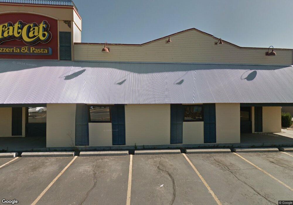
1502 Dearborn Ave Missoula, MT 59801
Southgate Triangle NeighborhoodEstimated Value: $1,508,842
--
Bed
--
Bath
4,950
Sq Ft
$305/Sq Ft
Est. Value
About This Home
This home is located at 1502 Dearborn Ave, Missoula, MT 59801 and is currently estimated at $1,508,842, approximately $304 per square foot. 1502 Dearborn Ave is a home located in Missoula County with nearby schools including Russell School, Meadow Hill Middle School, and Sentinel High School.
Ownership History
Date
Name
Owned For
Owner Type
Purchase Details
Closed on
Oct 11, 2016
Sold by
Fib Properties Llc
Bought by
R B H Legacy Investments Llc
Current Estimated Value
Purchase Details
Closed on
Mar 20, 2015
Sold by
Dearborn Development Llc
Bought by
Fib Properties Llc
Purchase Details
Closed on
Sep 27, 2005
Sold by
Tnt Restaurant Inc
Bought by
Dearborn Development Llc
Home Financials for this Owner
Home Financials are based on the most recent Mortgage that was taken out on this home.
Original Mortgage
$1,130,500
Interest Rate
5.81%
Mortgage Type
Commercial
Create a Home Valuation Report for This Property
The Home Valuation Report is an in-depth analysis detailing your home's value as well as a comparison with similar homes in the area
Home Values in the Area
Average Home Value in this Area
Purchase History
| Date | Buyer | Sale Price | Title Company |
|---|---|---|---|
| R B H Legacy Investments Llc | -- | None Available | |
| Fib Properties Llc | -- | None Available | |
| Dearborn Development Llc | -- | -- |
Source: Public Records
Mortgage History
| Date | Status | Borrower | Loan Amount |
|---|---|---|---|
| Previous Owner | Dearborn Development Llc | $1,130,500 |
Source: Public Records
Tax History Compared to Growth
Tax History
| Year | Tax Paid | Tax Assessment Tax Assessment Total Assessment is a certain percentage of the fair market value that is determined by local assessors to be the total taxable value of land and additions on the property. | Land | Improvement |
|---|---|---|---|---|
| 2025 | $31,182 | $2,059,400 | $1,040,354 | $1,019,046 |
| 2024 | $29,927 | $1,756,700 | $818,378 | $938,322 |
| 2023 | $28,831 | $1,756,700 | $818,378 | $938,322 |
| 2022 | $30,368 | $1,614,261 | $0 | $0 |
| 2021 | $15,380 | $904,311 | $0 | $0 |
| 2020 | $14,611 | $797,995 | $0 | $0 |
| 2019 | $14,563 | $797,995 | $0 | $0 |
| 2018 | $14,108 | $751,800 | $0 | $0 |
| 2017 | $12,613 | $751,800 | $0 | $0 |
| 2016 | $14,933 | $845,600 | $0 | $0 |
| 2015 | $13,812 | $845,600 | $0 | $0 |
| 2014 | $17,470 | $763,334 | $0 | $0 |
Source: Public Records
Map
Nearby Homes
- 1665 W Sussex Ave
- 1755 North Ave W
- 3 Rosebud Ln
- 720 South Ave W
- 706 South Ave W
- 235 S 4th St E Unit 203
- 265 S 4th St E Unit 208
- 265 S 4th St E Unit 111
- 265 S 4th St E Unit 405
- 2112 & 2112 1/2 W Central Ave
- 3530 Washburn St
- 1811 Charlott Ave
- 2144 W Kent Ave
- 1638 S 14th St W
- 1105 Stephens Ave Unit 2
- 3711 Bellecrest Dr
- 2028 B Burlington Ave
- 2960 Eaton St Unit C
- 470 Strand Ave
- TBD Tbd
- 2500 Brooks St
- 2505 S Russell St Unit 220
- 2505 S Russell St
- 1515 Dearborn Ave
- 2515 Brooks St
- 1501 Dearborn Ave
- 2405 Brooks St
- 2400 Brooks St
- 1530 Livingston Ave
- Nhn Dearborn
- Lots 4,5,6 South Ave W
- 2128 Fairview Ave
- 1515 South Ave W Unit 12
- 1515 South Ave W Unit 5
- 1525 South Ave W Unit 1533
- 1525 South Ave W Unit 1533
- 1525 South Ave W
- 2501 Brooks St Unit A
- 2501 Brooks St
- 1533 South Ave W