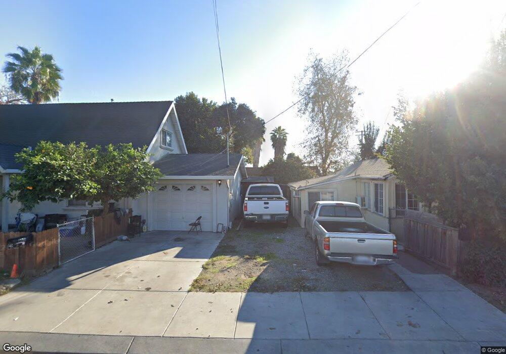
1504 Beverly Dr Modesto, CA 95351
West Modesto NeighborhoodEstimated Value: $305,000 - $822,000
5
Beds
2
Baths
1,924
Sq Ft
$240/Sq Ft
Est. Value
About This Home
This home is located at 1504 Beverly Dr, Modesto, CA 95351 and is currently estimated at $461,715, approximately $239 per square foot. 1504 Beverly Dr is a home located in Stanislaus County with nearby schools including Burbank Elementary School, Mark Twain Junior High School, and Modesto High School.
Ownership History
Date
Name
Owned For
Owner Type
Purchase Details
Closed on
Aug 22, 2002
Sold by
Tucker William Agusta and Zaragoza Shelly Ann
Bought by
Popal Noor U
Current Estimated Value
Purchase Details
Closed on
Aug 15, 2002
Sold by
Popal Lynette R
Bought by
Popal Noor U
Purchase Details
Closed on
Aug 8, 2002
Sold by
Tucker Mary Adriane
Bought by
Tucker William Agusta
Purchase Details
Closed on
Jun 10, 1999
Sold by
Tucker Carol Sue
Bought by
Tucker William Agusta and Zaragoza Shelly Ann
Create a Home Valuation Report for This Property
The Home Valuation Report is an in-depth analysis detailing your home's value as well as a comparison with similar homes in the area
Home Values in the Area
Average Home Value in this Area
Purchase History
| Date | Buyer | Sale Price | Title Company |
|---|---|---|---|
| Popal Noor U | $88,000 | Chicago Title Co | |
| Popal Noor U | -- | Chicago Title Co | |
| Tucker William Agusta | -- | Chicago Title Co | |
| Tucker William Agusta | -- | -- |
Source: Public Records
Tax History
| Year | Tax Paid | Tax Assessment Tax Assessment Total Assessment is a certain percentage of the fair market value that is determined by local assessors to be the total taxable value of land and additions on the property. | Land | Improvement |
|---|---|---|---|---|
| 2025 | $2,355 | $192,123 | $50,681 | $141,442 |
| 2024 | $2,253 | $188,357 | $49,688 | $138,669 |
| 2023 | $2,220 | $184,664 | $48,714 | $135,950 |
| 2022 | $2,168 | $181,044 | $47,759 | $133,285 |
| 2021 | $2,045 | $177,495 | $46,823 | $130,672 |
| 2020 | $2,081 | $175,676 | $46,343 | $129,333 |
| 2019 | $2,034 | $172,233 | $45,435 | $126,798 |
| 2018 | $1,940 | $168,857 | $44,545 | $124,312 |
| 2017 | $1,581 | $136,500 | $85,000 | $51,500 |
| 2016 | $1,468 | $126,000 | $40,000 | $86,000 |
| 2015 | $1,215 | $102,500 | $21,500 | $81,000 |
| 2014 | $982 | $85,500 | $18,000 | $67,500 |
Source: Public Records
Map
Nearby Homes
- 1416 Victoria Dr
- 2104 Olive Branch Dr
- 1200 S Carpenter Rd #121 Rd Unit 121
- 1200 S Carpenter Rd Unit 42
- 1200 S Carpenter Rd Unit 18
- 1200 S Carpenter Rd
- 1200 S Carpenter Rd Unit 71
- 1200 S Carpenter Rd Unit 51
- 1200 S Carpenter Rd Unit 4
- 1200 S Carpenter Rd Unit 144
- 1200 S Carpenter Rd Unit 10
- 1200 S Carpenter Rd Unit 105
- 1200 S Carpenter Rd Unit 22
- 1805 Vernon Ave
- 1305 Levi Dr
- 1016 Lombardy Dr
- 1908 Vernon Ave
- 1809 Taos Ct
- 2012 Ridgecrest Dr
- 2508 Paradise Rd
- 1500 Beverly Dr
- 1509 Victoria Dr
- 1429 Victoria Dr
- 1513 Victoria Dr
- 1425 Victoria Dr
- 1520 Beverly Dr
- 1420 Beverly Dr
- 1517 Victoria Dr
- 1421 Victoria Dr
- 1420 Giahos Ave
- 1521 Victoria Dr
- 1508 Victoria Dr
- 1416 Giahos Ave
- 1428 Victoria Dr
- 1524 Beverly Dr
- 1512 Victoria Dr
- 1417 Victoria Dr
- 1412 Beverly Dr
- 1525 Victoria Dr
- 1424 Victoria Dr
Your Personal Tour Guide
Ask me questions while you tour the home.