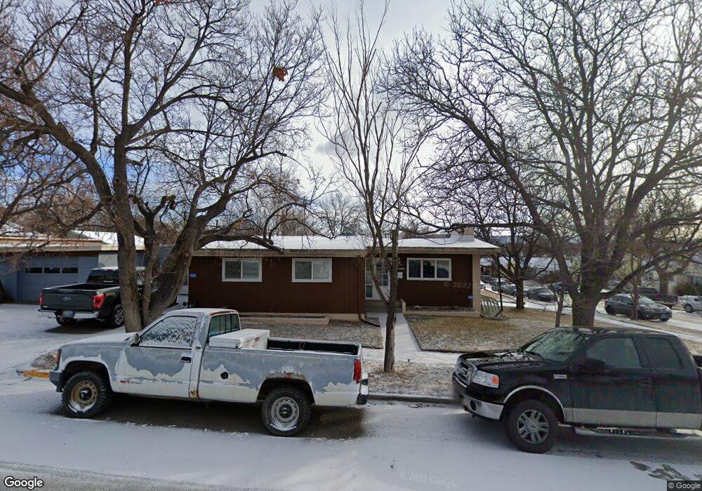
1505 6th St W Billings, MT 59102
Hilands NeighborhoodEstimated Value: $344,000 - $407,000
4
Beds
2
Baths
2,220
Sq Ft
$167/Sq Ft
Est. Value
About This Home
This home is located at 1505 6th St W, Billings, MT 59102 and is currently estimated at $369,739, approximately $166 per square foot. 1505 6th St W is a home located in Yellowstone County with nearby schools including Highland Elementary School, Lewis & Clark Junior High School, and Billings Senior High School.
Ownership History
Date
Name
Owned For
Owner Type
Purchase Details
Closed on
Aug 15, 2023
Sold by
Norby Jami B and Norby Lisa
Bought by
Jami And Lisa Norby Family Trust and Norby
Current Estimated Value
Purchase Details
Closed on
Jan 12, 2022
Sold by
Laramee Anthony F and Laramee Peny J
Bought by
Norby Jami B
Home Financials for this Owner
Home Financials are based on the most recent Mortgage that was taken out on this home.
Original Mortgage
$291,600
Interest Rate
3.05%
Mortgage Type
New Conventional
Purchase Details
Closed on
May 10, 2007
Sold by
Johnson Zene
Bought by
Laramee Anthony F and Laramee Peny J
Home Financials for this Owner
Home Financials are based on the most recent Mortgage that was taken out on this home.
Original Mortgage
$166,000
Interest Rate
6.14%
Mortgage Type
VA
Create a Home Valuation Report for This Property
The Home Valuation Report is an in-depth analysis detailing your home's value as well as a comparison with similar homes in the area
Home Values in the Area
Average Home Value in this Area
Purchase History
| Date | Buyer | Sale Price | Title Company |
|---|---|---|---|
| Jami And Lisa Norby Family Trust | -- | None Listed On Document | |
| Norby Jami B | -- | None Listed On Document | |
| Laramee Anthony F | -- | None Available |
Source: Public Records
Mortgage History
| Date | Status | Borrower | Loan Amount |
|---|---|---|---|
| Previous Owner | Norby Jami B | $291,600 | |
| Previous Owner | Laramee Anthony F | $166,000 |
Source: Public Records
Tax History Compared to Growth
Tax History
| Year | Tax Paid | Tax Assessment Tax Assessment Total Assessment is a certain percentage of the fair market value that is determined by local assessors to be the total taxable value of land and additions on the property. | Land | Improvement |
|---|---|---|---|---|
| 2025 | $2,940 | $334,700 | $47,135 | $287,565 |
| 2024 | $2,940 | $297,200 | $43,756 | $253,444 |
| 2023 | $2,932 | $297,200 | $43,756 | $253,444 |
| 2022 | $2,709 | $241,000 | $0 | $0 |
| 2021 | $2,476 | $230,000 | $0 | $0 |
| 2020 | $2,442 | $212,000 | $0 | $0 |
| 2019 | $2,326 | $212,000 | $0 | $0 |
| 2018 | $2,253 | $201,300 | $0 | $0 |
| 2017 | $1,864 | $201,300 | $0 | $0 |
| 2016 | $2,023 | $186,200 | $0 | $0 |
| 2015 | $1,971 | $186,200 | $0 | $0 |
| 2014 | $1,811 | $89,781 | $0 | $0 |
Source: Public Records
Map
Nearby Homes
- 644 Avenue B
- 509 Avenue E
- 511 Avenue F
- 616 Lewis Ave
- 402 Burlington Ave
- 502 Lewis Ave
- 1114 4th St W
- 1116 8th St W
- 813 Avenue F
- 803 Parkhill Dr
- 225 Burlington Ave
- 811 7th St W
- 732 Yellowstone Ave
- 2207 Pine St
- 135 Grand Ave
- 334 & 334 1/2 Yellowstone Ave
- 626 Wyoming Ave
- 125 Avenue B
- 934 Delphinium Dr
- 725 Broadwater Ave