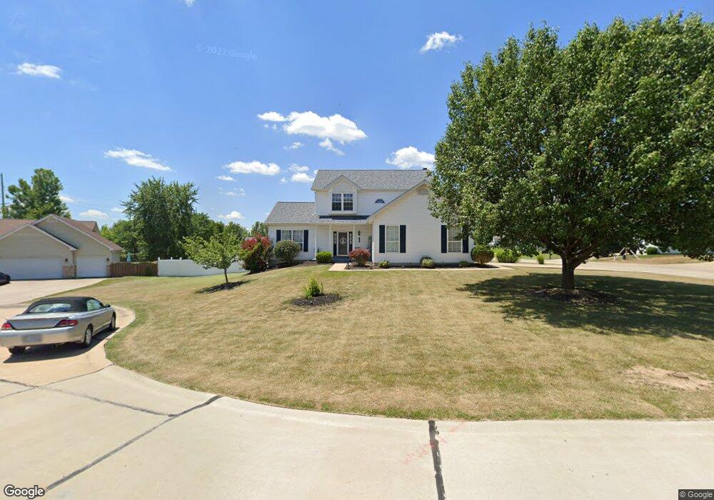
1507 Langrove Dr O Fallon, MO 63368
Estimated Value: $418,000 - $458,000
4
Beds
3
Baths
2,284
Sq Ft
$192/Sq Ft
Est. Value
About This Home
This home is located at 1507 Langrove Dr, O Fallon, MO 63368 and is currently estimated at $438,191, approximately $191 per square foot. 1507 Langrove Dr is a home located in St. Charles County with nearby schools including Prairie View Elementary School, Frontier Middle School, and Liberty High School.
Ownership History
Date
Name
Owned For
Owner Type
Purchase Details
Closed on
Jan 28, 2000
Sold by
Cozy Homes Inc
Bought by
Shreve Ted A and Shreve Frances E
Current Estimated Value
Home Financials for this Owner
Home Financials are based on the most recent Mortgage that was taken out on this home.
Original Mortgage
$128,000
Outstanding Balance
$41,386
Interest Rate
7.86%
Estimated Equity
$396,805
Create a Home Valuation Report for This Property
The Home Valuation Report is an in-depth analysis detailing your home's value as well as a comparison with similar homes in the area
Home Values in the Area
Average Home Value in this Area
Purchase History
| Date | Buyer | Sale Price | Title Company |
|---|---|---|---|
| Shreve Ted A | $141,525 | -- |
Source: Public Records
Mortgage History
| Date | Status | Borrower | Loan Amount |
|---|---|---|---|
| Open | Shreve Ted A | $128,000 |
Source: Public Records
Tax History
| Year | Tax Paid | Tax Assessment Tax Assessment Total Assessment is a certain percentage of the fair market value that is determined by local assessors to be the total taxable value of land and additions on the property. | Land | Improvement |
|---|---|---|---|---|
| 2025 | $4,598 | $73,848 | -- | -- |
| 2023 | $4,598 | $71,139 | $0 | $0 |
| 2022 | $4,205 | $60,633 | $0 | $0 |
| 2021 | $4,210 | $60,633 | $0 | $0 |
| 2020 | $3,648 | $50,331 | $0 | $0 |
| 2019 | $3,391 | $50,331 | $0 | $0 |
| 2018 | $2,977 | $42,074 | $0 | $0 |
| 2017 | $2,977 | $42,074 | $0 | $0 |
| 2016 | $2,631 | $35,579 | $0 | $0 |
| 2015 | $2,569 | $35,579 | $0 | $0 |
| 2014 | $1,974 | $29,284 | $0 | $0 |
Source: Public Records
Map
Nearby Homes
- 276 Greenshire Ln
- 702 Balcarra Dr
- 1816 Packard Ct
- 239 Kerry Downs Dr
- 321 Kingsbarns Ct
- 128 Dardenne Place Dr
- 7839 Town Square Ave
- 7817 Town Square Ave
- 116 Dardenne Place Dr
- 107 Royal Inverness Pkwy
- 123 Royal Inverness Pkwy
- 11 Warchol Ct
- 610 Cruden Bay Ct
- 638 Knollshire Way
- 152 Royal Troon Dr
- 143 Royal Troon Dr
- 940 Hampshire Heath Dr
- 32 Landyn Ct
- 624 Hawk Run Dr
- 1 Monaco @ Willow Grove
Your Personal Tour Guide
Ask me questions while you tour the home.