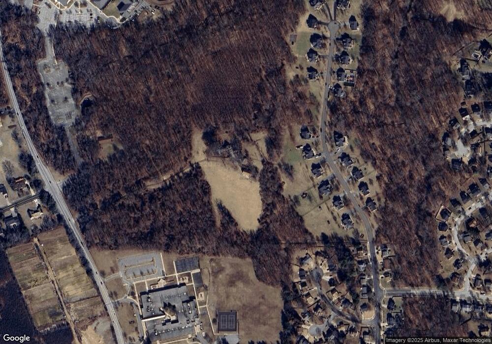
1509 Enterprise Rd Bowie, MD 20721
Woodmore NeighborhoodEstimated Value: $640,000 - $711,000
--
Bed
3
Baths
5,100
Sq Ft
$131/Sq Ft
Est. Value
About This Home
This home is located at 1509 Enterprise Rd, Bowie, MD 20721 and is currently estimated at $667,168, approximately $130 per square foot. 1509 Enterprise Rd is a home located in Prince George's County with nearby schools including Kingsford Elementary School, Ernest Everett Just Middle, and Charles Herbert Flowers High School.
Ownership History
Date
Name
Owned For
Owner Type
Purchase Details
Closed on
Dec 17, 2021
Sold by
Carter Donald W
Bought by
Green Carlton M
Current Estimated Value
Purchase Details
Closed on
Dec 6, 2021
Sold by
Green & Carter Investments Llc
Bought by
Carter Donald W
Purchase Details
Closed on
Dec 3, 2012
Sold by
Green Carlton M and Estate Of Walter L Green
Bought by
Green & Carter Investments Llc
Purchase Details
Closed on
Jun 24, 2004
Sold by
Green Walter L Etal
Bought by
Green Walter L Etal
Purchase Details
Closed on
Jul 16, 1996
Sold by
Green Walter L and Carter Helen G
Bought by
Carter Walter L Etal
Create a Home Valuation Report for This Property
The Home Valuation Report is an in-depth analysis detailing your home's value as well as a comparison with similar homes in the area
Home Values in the Area
Average Home Value in this Area
Purchase History
| Date | Buyer | Sale Price | Title Company |
|---|---|---|---|
| Green Carlton M | $300,000 | None Listed On Document | |
| Carter Donald W | $3,578,170 | None Listed On Document | |
| Green & Carter Investments Llc | -- | None Available | |
| Green Walter L Etal | -- | -- | |
| Carter Walter L Etal | -- | -- |
Source: Public Records
Tax History Compared to Growth
Tax History
| Year | Tax Paid | Tax Assessment Tax Assessment Total Assessment is a certain percentage of the fair market value that is determined by local assessors to be the total taxable value of land and additions on the property. | Land | Improvement |
|---|---|---|---|---|
| 2025 | $8,616 | $582,300 | $193,100 | $389,200 |
| 2024 | $8,616 | $563,433 | $0 | $0 |
| 2023 | $6,056 | $544,567 | $0 | $0 |
| 2022 | $8,070 | $525,700 | $233,100 | $292,600 |
| 2021 | $7,860 | $511,167 | $0 | $0 |
| 2020 | $7,650 | $496,633 | $0 | $0 |
| 2019 | $6,904 | $482,100 | $233,100 | $249,000 |
| 2018 | $7,173 | $463,600 | $0 | $0 |
| 2017 | $6,639 | $445,100 | $0 | $0 |
| 2016 | -- | $426,600 | $0 | $0 |
| 2015 | $6,044 | $420,467 | $0 | $0 |
| 2014 | $6,044 | $414,233 | $0 | $0 |
Source: Public Records
Map
Nearby Homes
- 12203 Kings Arrow St
- 1116 Kings Tree Dr
- 1758 Albert Dr
- 1100 Kings Heather Dr
- 12001 Shadystone Terrace
- 999 Kings Heather Dr
- 11407 Waesche Dr
- 11505 Chesley Ct
- 2101 Waterleaf Way
- 1805 Albert Ct
- 2200 Enterprise Rd
- 11500 Waesche Dr
- 83 Watkins Park Dr
- 11110 Inverrary Ct
- 120 Old Enterprise Rd
- 2101 Bermondsey Dr
- 136 Old Enterprise Rd
- 12215 Wimbleton St
- 12100 Wimbleton St
- 13006 Brice Ct
- 1506 Kings Valley Dr
- 1600 Kings Valley Dr
- 1504 Kings Valley Dr
- 1508 Kings Valley Dr
- 1602 Kings Valley Dr
- 1502 Kings Valley Dr
- 1604 Kings Valley Dr
- 1606 Kings Valley Dr
- 1505 Kings Valley Dr
- 1507 Kings Valley Dr
- 1500 Kings Valley Dr
- 1603 Kings Valley Dr
- 12201 Kingsbrook St
- 1608 Kings Valley Dr
- 1605 Kings Valley Dr
- 1406 Kings Valley Dr
- 12200 Kingsbrook St
- 12203 Kingsbrook St
- 1501 Kings Valley Dr
- 1503 Kings Valley Dr
