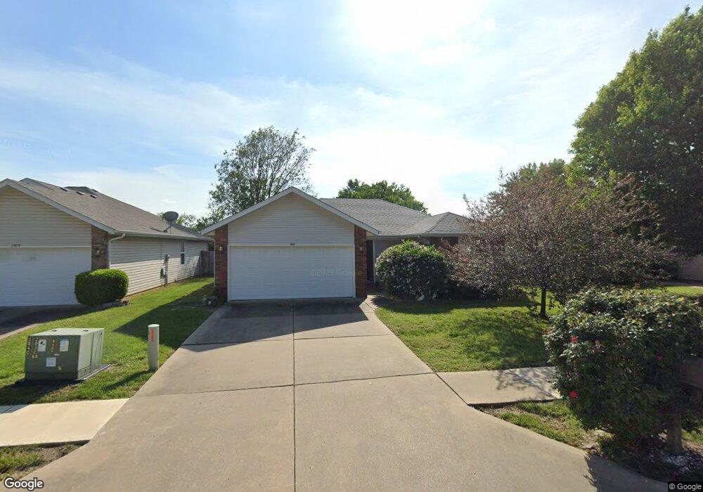
1509 S Lone Pine Ave Springfield, MO 65804
Oak Grove NeighborhoodEstimated Value: $223,457 - $238,000
3
Beds
2
Baths
1,273
Sq Ft
$181/Sq Ft
Est. Value
About This Home
This home is located at 1509 S Lone Pine Ave, Springfield, MO 65804 and is currently estimated at $230,614, approximately $181 per square foot. 1509 S Lone Pine Ave is a home located in Greene County with nearby schools including Pittman Elementary School, Hickory Hills K-8 School, and Glendale High School.
Ownership History
Date
Name
Owned For
Owner Type
Purchase Details
Closed on
Jan 23, 2006
Sold by
Johnson Connie Jo
Bought by
Shipman Carol D
Current Estimated Value
Home Financials for this Owner
Home Financials are based on the most recent Mortgage that was taken out on this home.
Original Mortgage
$71,500
Outstanding Balance
$40,117
Interest Rate
6.24%
Mortgage Type
New Conventional
Estimated Equity
$190,497
Create a Home Valuation Report for This Property
The Home Valuation Report is an in-depth analysis detailing your home's value as well as a comparison with similar homes in the area
Home Values in the Area
Average Home Value in this Area
Purchase History
| Date | Buyer | Sale Price | Title Company |
|---|---|---|---|
| Shipman Carol D | -- | None Available |
Source: Public Records
Mortgage History
| Date | Status | Borrower | Loan Amount |
|---|---|---|---|
| Open | Shipman Carol D | $71,500 |
Source: Public Records
Tax History
| Year | Tax Paid | Tax Assessment Tax Assessment Total Assessment is a certain percentage of the fair market value that is determined by local assessors to be the total taxable value of land and additions on the property. | Land | Improvement |
|---|---|---|---|---|
| 2025 | $1,402 | $28,710 | $5,700 | $23,010 |
| 2024 | $1,402 | $26,140 | $4,750 | $21,390 |
| 2023 | $1,394 | $26,140 | $4,750 | $21,390 |
| 2022 | $1,152 | $21,090 | $4,750 | $16,340 |
| 2021 | $1,152 | $21,090 | $4,750 | $16,340 |
| 2020 | $1,127 | $19,740 | $4,750 | $14,990 |
| 2019 | $1,096 | $19,740 | $4,750 | $14,990 |
| 2018 | $1,017 | $18,340 | $3,800 | $14,540 |
| 2017 | $1,007 | $17,780 | $3,800 | $13,980 |
| 2016 | $974 | $17,780 | $3,800 | $13,980 |
| 2015 | $966 | $17,780 | $3,800 | $13,980 |
| 2014 | $940 | $17,180 | $3,800 | $13,380 |
Source: Public Records
Map
Nearby Homes
- 1702 S Oak Grove Ave
- 1721 S Oak Grove Ave
- 1259 S Willow Ln
- 2251 E Washita St
- 1623 S Link Ave
- 2308 E Latoka St
- 1942 S Luster Ave
- 1503 S Sieger Dr
- 1984 S Meadowview Ave
- 2101 S Glendale Ave
- 1357 S Catalina Ave
- 1140 S Crutcher Ave
- 2134 S Luster Ave
- 1901 S Sieger Dr
- 846 S Barnes Ave
- 2810 E Madison St
- 2845 E Lombard St
- 1626 S Saint Charles Ave
- 1634 S Saint Charles Ave
- 2926 E Lombard St
- 1515 S Lone Pine Ave
- 1503 S Lone Pine Ave
- 1521 S Lone Pine Ave
- 1465 S Lone Pine Ave
- 1508 S Lone Pine Ave
- 1527 S Lone Pine Ave
- 1514 S Lone Pine Ave
- 1502 S Lone Pine Ave
- 1460 S Lone Pine Ave
- 1520 S Lone Pine Ave
- 1533 S Lone Pine Ave
- 1453 S Lone Pine Ave
- 1454 S Lone Pine Ave
- 1530 S Lone Pine Ave
- 2528 E Verona St
- 1539 S Lone Pine Ave
- 2508 E Verona St
- 2534 E Verona St
- 2541 E Linwood Dr
- 2534 E Linwood Dr
Your Personal Tour Guide
Ask me questions while you tour the home.