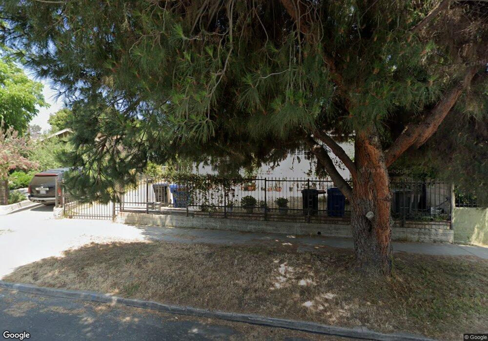
1514 Munson Ave Los Angeles, CA 90042
Eagle Rock NeighborhoodEstimated Value: $1,391,000 - $2,771,000
6
Beds
5
Baths
2,382
Sq Ft
$778/Sq Ft
Est. Value
About This Home
This home is located at 1514 Munson Ave, Los Angeles, CA 90042 and is currently estimated at $1,853,708, approximately $778 per square foot. 1514 Munson Ave is a home located in Los Angeles County with nearby schools including Toland Way Elementary School, Eagle Rock High School, and Irving STEAM Magnet School.
Ownership History
Date
Name
Owned For
Owner Type
Purchase Details
Closed on
May 4, 2016
Sold by
Evaristo Joseph L
Bought by
Evaristo Joseph and Evaristo Catherine
Current Estimated Value
Purchase Details
Closed on
Jun 9, 2003
Sold by
Evaristo Querubin Canlas and Evaristo Josephina
Bought by
Evaristo Joseph L and Montenegro Brenda L
Home Financials for this Owner
Home Financials are based on the most recent Mortgage that was taken out on this home.
Original Mortgage
$192,000
Outstanding Balance
$82,578
Interest Rate
5.53%
Mortgage Type
Purchase Money Mortgage
Estimated Equity
$1,771,130
Purchase Details
Closed on
Apr 4, 1994
Sold by
Burgos Juan S and Burgos Isabel C
Bought by
Evaristo Querubin Canlas and Evaristo Joseph L
Create a Home Valuation Report for This Property
The Home Valuation Report is an in-depth analysis detailing your home's value as well as a comparison with similar homes in the area
Home Values in the Area
Average Home Value in this Area
Purchase History
| Date | Buyer | Sale Price | Title Company |
|---|---|---|---|
| Evaristo Joseph | -- | None Available | |
| Evaristo Joseph L | -- | North American Title Co | |
| Evaristo Querubin Canlas | -- | -- |
Source: Public Records
Mortgage History
| Date | Status | Borrower | Loan Amount |
|---|---|---|---|
| Open | Evaristo Joseph L | $192,000 |
Source: Public Records
Tax History Compared to Growth
Tax History
| Year | Tax Paid | Tax Assessment Tax Assessment Total Assessment is a certain percentage of the fair market value that is determined by local assessors to be the total taxable value of land and additions on the property. | Land | Improvement |
|---|---|---|---|---|
| 2025 | $4,772 | $378,112 | $298,023 | $80,089 |
| 2024 | $4,772 | $370,699 | $292,180 | $78,519 |
| 2023 | $4,684 | $363,431 | $286,451 | $76,980 |
| 2022 | $4,473 | $356,306 | $280,835 | $75,471 |
| 2021 | $4,407 | $349,321 | $275,329 | $73,992 |
| 2020 | $4,445 | $345,740 | $272,506 | $73,234 |
| 2019 | $4,278 | $338,962 | $267,163 | $71,799 |
| 2018 | $4,143 | $332,317 | $261,925 | $70,392 |
| 2016 | $3,936 | $319,414 | $251,755 | $67,659 |
| 2015 | $3,879 | $314,617 | $247,974 | $66,643 |
| 2014 | $3,904 | $308,455 | $243,117 | $65,338 |
Source: Public Records
Map
Nearby Homes
- 4666 York Blvd
- 1336 Armadale Ave
- 4707 Toland Way
- 4654 Toland Way
- 1607 Campus Rd
- 4854 Buchanan St
- 4780 Hub St
- 4925 Buchanan St
- 4500 Mont Eagle Place
- 4824 Toland Way
- 1113 N Avenue 50
- 1048 Dexter St
- 1747 N Avenue 46
- 1037 N Avenue 50
- 4312 Division St
- 4263 Barryknoll Dr
- 5117 Stratford Rd
- 1553 Verbena Way
- 925 927 El Paso Dr
- 5125 Buchanan St
- 1512 Munson Ave
- 1520 1522 Munson Ave
- 1520 Munson Ave
- 1520 Munson Ave
- 1528 Munson Ave
- 4701 York Blvd
- 1530 Munson Ave
- 1525 Munson Ave
- 1417 Armadale Ave
- 1423 Armadale Ave
- 1411 Armadale Ave
- 1521 Munson Ave
- 1529 Munson Ave
- 1538 Munson Ave
- 1429 Armadale Ave
- 1526 N Avenue 47
- 1433 Armadale Ave
- 1533 Munson Ave
- 1530 N Avenue 47
- 1542 Munson Ave