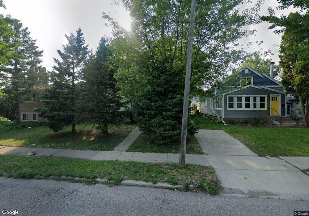
1517 1517 Dale St N St. Paul, MN 55117
Como Park NeighborhoodEstimated Value: $309,000 - $323,644
4
Beds
2
Baths
832
Sq Ft
$381/Sq Ft
Est. Value
About This Home
This home is located at 1517 1517 Dale St N, St. Paul, MN 55117 and is currently estimated at $317,161, approximately $381 per square foot. 1517 1517 Dale St N is a home located in Ramsey County with nearby schools including Chelsea Heights Elementary, Murray Middle School, and Como Park Senior High School.
Ownership History
Date
Name
Owned For
Owner Type
Purchase Details
Closed on
Apr 2, 2025
Sold by
Flaherty Kyle and Flaherty Brynne
Bought by
Dibua Amaka C
Current Estimated Value
Home Financials for this Owner
Home Financials are based on the most recent Mortgage that was taken out on this home.
Original Mortgage
$300,700
Outstanding Balance
$299,360
Interest Rate
6.63%
Mortgage Type
New Conventional
Estimated Equity
$17,801
Purchase Details
Closed on
Sep 2, 2014
Sold by
Lundberg Alycen P
Bought by
Flaherty Kyle
Home Financials for this Owner
Home Financials are based on the most recent Mortgage that was taken out on this home.
Original Mortgage
$167,200
Interest Rate
4.11%
Mortgage Type
New Conventional
Purchase Details
Closed on
Jun 28, 2000
Sold by
Gjetson Stacy Michelle and Gjetson Mathew
Bought by
Knutson David J
Create a Home Valuation Report for This Property
The Home Valuation Report is an in-depth analysis detailing your home's value as well as a comparison with similar homes in the area
Home Values in the Area
Average Home Value in this Area
Purchase History
| Date | Buyer | Sale Price | Title Company |
|---|---|---|---|
| Dibua Amaka C | $310,000 | Great North Title | |
| Flaherty Kyle | $181,333 | Regis Title Llc | |
| Knutson David J | $132,400 | -- |
Source: Public Records
Mortgage History
| Date | Status | Borrower | Loan Amount |
|---|---|---|---|
| Open | Dibua Amaka C | $300,700 | |
| Previous Owner | Flaherty Kyle | $167,200 |
Source: Public Records
Tax History Compared to Growth
Tax History
| Year | Tax Paid | Tax Assessment Tax Assessment Total Assessment is a certain percentage of the fair market value that is determined by local assessors to be the total taxable value of land and additions on the property. | Land | Improvement |
|---|---|---|---|---|
| 2025 | $4,556 | $333,400 | $51,000 | $282,400 |
| 2024 | $4,556 | $316,100 | $51,000 | $265,100 |
| 2023 | $4,556 | $300,600 | $51,000 | $249,600 |
| 2022 | $3,858 | $298,500 | $51,000 | $247,500 |
| 2021 | $3,656 | $249,000 | $51,000 | $198,000 |
| 2020 | $3,530 | $245,300 | $51,000 | $194,300 |
| 2019 | $3,354 | $223,000 | $46,800 | $176,200 |
| 2018 | $3,020 | $210,700 | $46,800 | $163,900 |
| 2017 | $2,730 | $197,700 | $33,800 | $163,900 |
| 2016 | $2,502 | $0 | $0 | $0 |
| 2015 | $2,764 | $168,900 | $33,800 | $135,100 |
| 2014 | $3,108 | $0 | $0 | $0 |
Source: Public Records
Map
Nearby Homes
- 1539 Dale St N
- 1464 Maywood St
- 1342 Dale St N
- 1457 Arundel St
- 1600 Arundel St Unit 204
- 796 Larpenteur Ave W
- 408 Arlington Ave W
- 373 Nebraska Ave W
- 397 Cottage Ave W Unit 3
- tbd MacKubin St
- 1241 Maywood St
- 1801 Western Ave N
- 766 Maryland Ave W
- 1222 Como Blvd E
- 1403 Galtier St
- 254 Idaho Ave W
- 420 McCarrons Blvd S
- 1176 Norton St
- 1005 Como Blvd E
- 1165 Norton St
- 1515 Dale St N
- 1519 Dale St N
- 1519 1519 Dale St N
- 1529 Dale St N
- 1529 1529 Dale St N
- 1529 1529 Dale-Street-n
- 1517 1517 Dale-Street-n
- 1509 Dale St N
- 1535 Dale St N
- 1522 Maywood St
- 1518 Maywood St
- 1526 Maywood St
- 1535 1535 Dale-Street-n
- 1505 Dale St N
- 1505 1505 Dale St N
- 1514 Maywood St
- 1532 1532 Maywood-Street-
- 1532 Maywood St
- 1510 Maywood St
- 1510 1510 Maywood-Street-