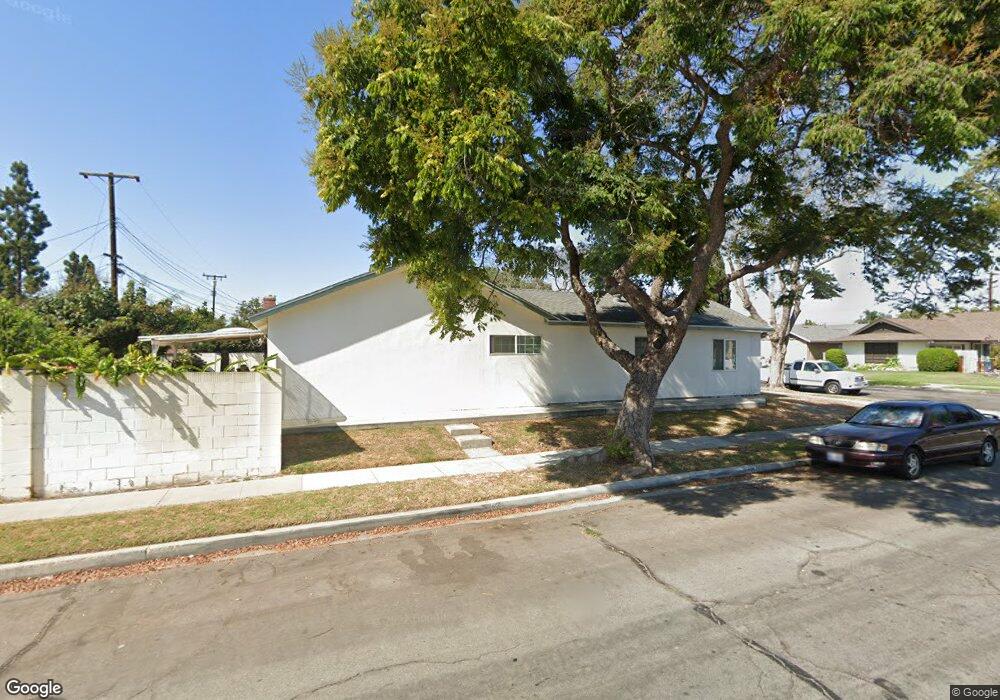
15201 Sail St Garden Grove, CA 92843
Star View NeighborhoodEstimated Value: $1,116,000 - $1,353,000
4
Beds
2
Baths
1,974
Sq Ft
$604/Sq Ft
Est. Value
About This Home
This home is located at 15201 Sail St, Garden Grove, CA 92843 and is currently estimated at $1,192,754, approximately $604 per square foot. 15201 Sail St is a home located in Orange County with nearby schools including Susan B. Anthony Elementary School, McGarvin Intermediate School, and La Quinta High School.
Ownership History
Date
Name
Owned For
Owner Type
Purchase Details
Closed on
Aug 19, 2019
Sold by
Le Linda
Bought by
Le Linda and The Linda Le Revocable Living Trust
Current Estimated Value
Purchase Details
Closed on
Jun 5, 2012
Sold by
Vanvanle Hieu Van and Le Linda
Bought by
Le Linda
Purchase Details
Closed on
Aug 9, 2010
Sold by
Vanle Hieu
Bought by
Vanle Hieu and Le Linda
Create a Home Valuation Report for This Property
The Home Valuation Report is an in-depth analysis detailing your home's value as well as a comparison with similar homes in the area
Home Values in the Area
Average Home Value in this Area
Purchase History
| Date | Buyer | Sale Price | Title Company |
|---|---|---|---|
| Le Linda | -- | None Available | |
| Le Linda | -- | None Available | |
| Vanle Hieu | -- | None Available |
Source: Public Records
Tax History Compared to Growth
Tax History
| Year | Tax Paid | Tax Assessment Tax Assessment Total Assessment is a certain percentage of the fair market value that is determined by local assessors to be the total taxable value of land and additions on the property. | Land | Improvement |
|---|---|---|---|---|
| 2025 | $7,114 | $556,428 | $410,925 | $145,503 |
| 2024 | $7,114 | $545,518 | $402,868 | $142,650 |
| 2023 | $6,973 | $534,822 | $394,969 | $139,853 |
| 2022 | $6,813 | $524,336 | $387,225 | $137,111 |
| 2021 | $6,737 | $514,055 | $379,632 | $134,423 |
| 2020 | $6,648 | $508,784 | $375,739 | $133,045 |
| 2019 | $6,482 | $498,808 | $368,371 | $130,437 |
| 2018 | $6,348 | $489,028 | $361,148 | $127,880 |
| 2017 | $6,254 | $479,440 | $354,067 | $125,373 |
| 2016 | $5,948 | $470,040 | $347,125 | $122,915 |
| 2015 | $5,862 | $462,980 | $341,911 | $121,069 |
| 2014 | $5,723 | $453,911 | $335,213 | $118,698 |
Source: Public Records
Map
Nearby Homes
- 10632 Henderson Ave
- 10562 Davit Ave
- 507 S Euclid St Unit 71
- 5112 W 1st St Unit C
- 5114 W 1st St Unit C
- 5405 W 4th St
- 323 N Euclid St Unit 99
- 10200 Bolsa Ave Unit 23
- 5317 Silver Dr
- 10744 Lehnhardt Ave
- 4832 W 5th St Unit B
- 15890 Camo Bluff Ct
- 901 S Harmon St
- 4512 W Watkins Way
- 4518 W 1st St
- 9936 Pear Dr
- 14356 Taft St
- 13322 Euclid St
- 9851 Bolsa Ave Unit 198
- 9851 Bolsa Ave Unit 196
- 15191 Sail St
- 15202 Yawl St
- 15192 Yawl St
- 15181 Sail St
- 10642 Melric Ave
- 10652 Melric Ave
- 15182 Yawl St
- 10681 Melric Ave
- 10632 Melric Ave
- 10662 Melric Ave
- 15192 Sail St
- 15171 Sail St
- 15182 Sail St
- 10622 Melric Ave
- 15172 Yawl St
- 10682 Melric Ave
- 5625 W Barbette Ave
- 5631 W Barbette Ave
- 15172 Sail St
- 15161 Sail St