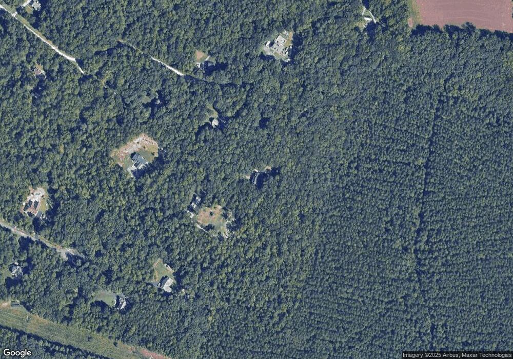
15281 West Fork Dr Glen Allen, VA 23059
Estimated Value: $662,000 - $796,934
4
Beds
4
Baths
2,608
Sq Ft
$282/Sq Ft
Est. Value
About This Home
This home is located at 15281 West Fork Dr, Glen Allen, VA 23059 and is currently estimated at $736,234, approximately $282 per square foot. 15281 West Fork Dr is a home located in Hanover County with nearby schools including South Anna Elementary School, Liberty Middle School, and Patrick Henry High School.
Ownership History
Date
Name
Owned For
Owner Type
Purchase Details
Closed on
Mar 10, 2016
Sold by
Gassman Kenneth M
Bought by
Newcomb Terry L and Newcomb Michelle C
Current Estimated Value
Home Financials for this Owner
Home Financials are based on the most recent Mortgage that was taken out on this home.
Original Mortgage
$373,117
Outstanding Balance
$295,320
Interest Rate
3.65%
Mortgage Type
FHA
Estimated Equity
$440,914
Create a Home Valuation Report for This Property
The Home Valuation Report is an in-depth analysis detailing your home's value as well as a comparison with similar homes in the area
Home Values in the Area
Average Home Value in this Area
Purchase History
| Date | Buyer | Sale Price | Title Company |
|---|---|---|---|
| Newcomb Terry L | $380,000 | Attorney |
Source: Public Records
Mortgage History
| Date | Status | Borrower | Loan Amount |
|---|---|---|---|
| Open | Newcomb Terry L | $373,117 |
Source: Public Records
Tax History Compared to Growth
Tax History
| Year | Tax Paid | Tax Assessment Tax Assessment Total Assessment is a certain percentage of the fair market value that is determined by local assessors to be the total taxable value of land and additions on the property. | Land | Improvement |
|---|---|---|---|---|
| 2025 | $5,189 | $640,600 | $185,000 | $455,600 |
| 2024 | $4,926 | $608,100 | $165,000 | $443,100 |
| 2023 | $4,682 | $608,100 | $165,000 | $443,100 |
| 2022 | $3,981 | $491,500 | $151,100 | $340,400 |
| 2021 | $3,584 | $442,500 | $146,600 | $295,900 |
| 2020 | $3,584 | $442,500 | $146,600 | $295,900 |
| 2019 | $3,281 | $431,500 | $146,600 | $284,900 |
| 2018 | $3,281 | $405,100 | $132,800 | $272,300 |
| 2017 | $3,281 | $405,100 | $132,800 | $272,300 |
| 2016 | $2,954 | $364,700 | $123,000 | $241,700 |
| 2015 | $2,954 | $364,700 | $123,000 | $241,700 |
| 2014 | $2,954 | $364,700 | $123,000 | $241,700 |
Source: Public Records
Map
Nearby Homes
- 11920 Shamrock Farms Ct
- TBD Stone Horse Creek Rd
- 12105 Howards Mill Rd
- Elliot Plan at Riverview Estates
- Tiffany I Plan at Riverview Estates
- Hampshire Plan at Riverview Estates
- Sienna Plan at Riverview Estates
- Tiffany II Plan at Riverview Estates
- Riverton Plan at Riverview Estates
- Bronte Plan at Riverview Estates
- Sutherland Plan at Riverview Estates
- Windemere Plan at Riverview Estates
- Florence Plan at Riverview Estates
- Olivia Plan at Riverview Estates
- Lot 2 Auburn Mill Rd
- Lot 1 Auburn Mill Rd
- 12608 Pin Oak Estates Dr
- 2.1 Ashland Rd
- 15951 Saint Peters Church Rd
- 7034 Benhall Cir
- 15281 W Fork Dr
- 15277 West Fork Dr
- 12062 Cedar Pines Ln
- 15279 West Fork Dr
- 15333 West Fork Dr
- 15280 W Fork Dr
- 15280 West Fork Dr
- 15274 W Fork Dr
- 15274 West Fork Dr
- 12052 Cedar Pines Ln
- 15370 Harlow Farm Way
- 15367 Harlow Farm Way
- 15251 Stone Horse Creek Rd
- 15320 West Fork Dr
- 15386 Harlow Farm Way
- 12119 Cedar Pines Ln
- 15379 Harlow Farm Way
- 15354 West Fork Dr
- 00 Harlow Farm Way
- 15450 Harlow Farm Way
