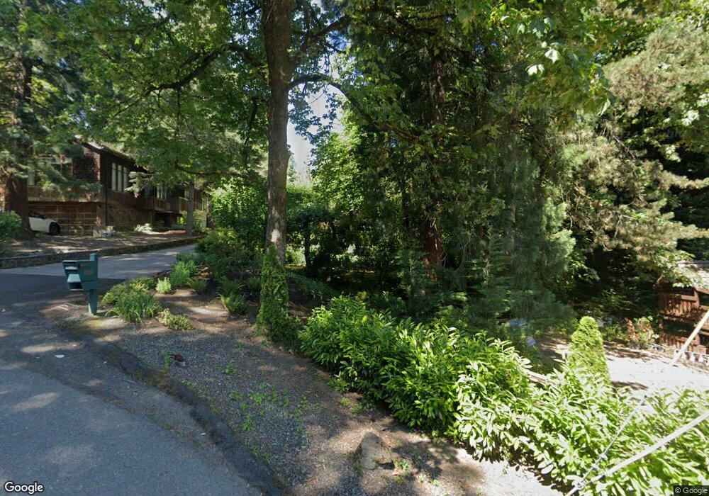
1535 Burns St West Linn, OR 97068
Bolton NeighborhoodEstimated Value: $1,002,000 - $1,129,000
3
Beds
3
Baths
3,347
Sq Ft
$313/Sq Ft
Est. Value
About This Home
This home is located at 1535 Burns St, West Linn, OR 97068 and is currently estimated at $1,046,870, approximately $312 per square foot. 1535 Burns St is a home located in Clackamas County with nearby schools including Bolton Primary School, West Linn High School, and Clackamas Academy of Industrial Sciences (CAIS).
Ownership History
Date
Name
Owned For
Owner Type
Purchase Details
Closed on
Apr 22, 2022
Sold by
Mccarthy Robert E
Bought by
Mccarthy Family Trust
Current Estimated Value
Purchase Details
Closed on
Dec 1, 1993
Bought by
Mccarthy Robert E and Mccarthy Janet D
Create a Home Valuation Report for This Property
The Home Valuation Report is an in-depth analysis detailing your home's value as well as a comparison with similar homes in the area
Home Values in the Area
Average Home Value in this Area
Purchase History
| Date | Buyer | Sale Price | Title Company |
|---|---|---|---|
| Mccarthy Family Trust | -- | Law Office Of Karen B Dawson P | |
| Mccarthy Robert E | $240,000 | -- |
Source: Public Records
Tax History Compared to Growth
Tax History
| Year | Tax Paid | Tax Assessment Tax Assessment Total Assessment is a certain percentage of the fair market value that is determined by local assessors to be the total taxable value of land and additions on the property. | Land | Improvement |
|---|---|---|---|---|
| 2025 | $12,503 | $648,802 | -- | -- |
| 2024 | $12,035 | $629,905 | -- | -- |
| 2023 | $12,035 | $611,559 | $0 | $0 |
| 2022 | $11,360 | $593,747 | $0 | $0 |
| 2021 | $10,784 | $576,454 | $0 | $0 |
| 2020 | $10,857 | $559,665 | $0 | $0 |
| 2019 | $10,353 | $543,365 | $0 | $0 |
| 2018 | $9,891 | $527,539 | $0 | $0 |
| 2017 | $9,474 | $512,174 | $0 | $0 |
| 2016 | $9,059 | $497,256 | $0 | $0 |
| 2015 | $8,541 | $482,773 | $0 | $0 |
| 2014 | $8,080 | $468,712 | $0 | $0 |
Source: Public Records
Map
Nearby Homes
- 5687 River St
- 5390 Grove St
- 5910 W A St
- 1954 Buck St
- 5089 Territorial Dr
- 6345 Caufield St
- 6403 Tompkins Ct
- 5128 Firwood Dr
- 4711 Alder St
- 22691 Oregon City Loop
- 19575 River Rd Unit 53
- 5062 Prospect St
- 909 Center St
- 4645 Pine St
- 22881 Oregon City Loop
- 5219 Summit St
- 20930 Fawn Ct Unit 26
- 824 Center St
- 4973 Summit St
- 1870 Hemlock St
- 1497 Burns St Unit D
- 1551 Burns St
- 5725 Hood St
- 1471 Burns St
- 1575 Burns St
- 1494 Burns St
- 5777 Cascade St
- 1492 Burns St Unit D
- 5798 Hood St
- 1461 Burns St
- 5739 Perrin St
- 1564 Burns St
- 1462 Burns St
- 5750 River St
- 1435 Burns St
- 5725 Robert Moore St
- 5661 Cascade St
- 1580 Bolton St
- 5740 Perrin St
- 5738 River St