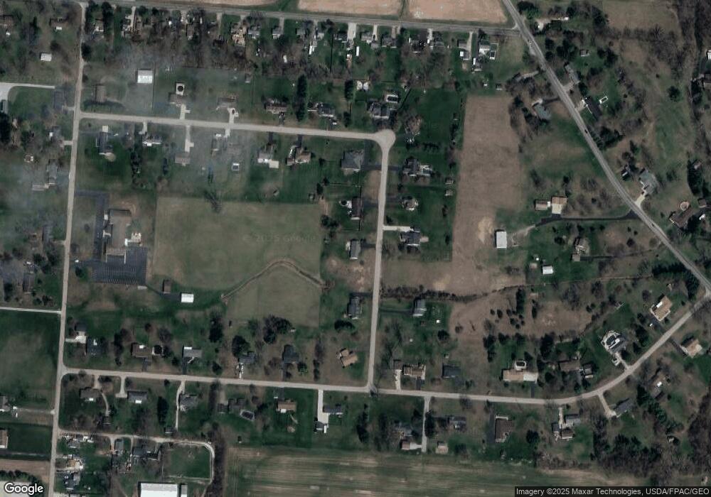
1535 N Star Dr Springfield, OH 45504
Cedar Hills/Broadview NeighborhoodEstimated Value: $281,000 - $355,000
3
Beds
2
Baths
1,634
Sq Ft
$193/Sq Ft
Est. Value
About This Home
This home is located at 1535 N Star Dr, Springfield, OH 45504 and is currently estimated at $314,723, approximately $192 per square foot. 1535 N Star Dr is a home located in Clark County with nearby schools including Northwestern Elementary School and Northwestern Junior/Senior High School.
Ownership History
Date
Name
Owned For
Owner Type
Purchase Details
Closed on
Aug 15, 2008
Sold by
Wolfgang Vicki J and Wolfgang David H
Bought by
Wolfgang David H and Wolfgang Vickie J
Current Estimated Value
Purchase Details
Closed on
Feb 1, 2006
Sold by
Estate Of Jack A Curtis
Bought by
Curtis Vickie J and Curtis Vickie A
Purchase Details
Closed on
Oct 9, 1997
Sold by
Tuttle Margaret R
Bought by
Week'S Const Inc
Home Financials for this Owner
Home Financials are based on the most recent Mortgage that was taken out on this home.
Original Mortgage
$106,000
Interest Rate
7.7%
Mortgage Type
New Conventional
Create a Home Valuation Report for This Property
The Home Valuation Report is an in-depth analysis detailing your home's value as well as a comparison with similar homes in the area
Home Values in the Area
Average Home Value in this Area
Purchase History
| Date | Buyer | Sale Price | Title Company |
|---|---|---|---|
| Wolfgang David H | -- | Attorney | |
| Curtis Vickie J | -- | None Available | |
| Week'S Const Inc | $15,000 | -- |
Source: Public Records
Mortgage History
| Date | Status | Borrower | Loan Amount |
|---|---|---|---|
| Previous Owner | Week'S Const Inc | $106,000 |
Source: Public Records
Tax History
| Year | Tax Paid | Tax Assessment Tax Assessment Total Assessment is a certain percentage of the fair market value that is determined by local assessors to be the total taxable value of land and additions on the property. | Land | Improvement |
|---|---|---|---|---|
| 2025 | $3,467 | $100,480 | $23,320 | $77,160 |
| 2024 | $3,293 | $72,100 | $18,000 | $54,100 |
| 2023 | $3,293 | $72,100 | $18,000 | $54,100 |
| 2022 | $3,384 | $72,100 | $18,000 | $54,100 |
| 2021 | $3,605 | $68,150 | $14,880 | $53,270 |
| 2020 | $3,640 | $68,150 | $14,880 | $53,270 |
| 2019 | $3,607 | $68,150 | $14,880 | $53,270 |
| 2018 | $2,728 | $50,760 | $13,130 | $37,630 |
| 2017 | $2,730 | $59,122 | $13,125 | $45,997 |
| 2016 | $2,675 | $59,122 | $13,125 | $45,997 |
| 2015 | $2,673 | $56,462 | $13,125 | $43,337 |
| 2014 | $2,672 | $56,462 | $13,125 | $43,337 |
| 2013 | $2,653 | $56,462 | $13,125 | $43,337 |
Source: Public Records
Map
Nearby Homes
- 4219 Detrick Jordan Pike
- 419 Candace Dr
- 3305 Turner Dr E
- 2137 Manhattan Blvd
- 3314 Scotsdale Dr
- 4461 New Carlisle Pike
- 624 Aberfelda Dr
- 3891 New Carlisle Pike
- 917 White Oak Dr
- 2639 Anita Dr
- 925 Upper Valley Pike
- 2743 Ironwood Dr
- 4638 W National Rd
- 195 N Tecumseh Rd
- 1650 Cranbrook Dr
- 190 Oakridge Dr
- 361 Upper Valley Pike
- 124 Old Mill Rd
- 3000-3002 Shrine Rd
- 128 Ravenwood Dr
- 1565 N Star Dr
- 1505 N Star Dr
- 1520 N Star Dr
- 1548 N Star Dr
- 1500 N Star Dr
- 1572 N Star Dr
- 1585 N Star Dr
- 4325 Evans Ave
- 4240 Cedar Hills Ave
- 1596 N Star St
- 4312 Cedar Hills Ave
- 1596 N Star Dr
- 4224 Cedar Hills Ave
- 4355 Evans Ave
- 1320 Starlight
- 1622 N Star Dr
- 4330 Cedar Hills Ave
- 1501 Shrine Rd
- 4200 Cedar Hills Ave
- 4280 Evans Ave
