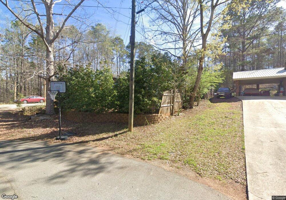
154 N Lake Dr Lagrange, GA 30240
Estimated Value: $186,372 - $232,000
3
Beds
2
Baths
1,422
Sq Ft
$150/Sq Ft
Est. Value
About This Home
This home is located at 154 N Lake Dr, Lagrange, GA 30240 and is currently estimated at $212,593, approximately $149 per square foot. 154 N Lake Dr is a home located in Troup County with nearby schools including Ethel W. Kight Elementary School, Hollis Hand Elementary School, and Franklin Forest Elementary School.
Ownership History
Date
Name
Owned For
Owner Type
Purchase Details
Closed on
Jul 23, 1992
Sold by
Barbara Don and Barbara Burks
Bought by
Cooper Christopher
Current Estimated Value
Purchase Details
Closed on
Apr 28, 1989
Sold by
Jeffery A Nichols
Bought by
Barbara Don and Barbara Burks
Purchase Details
Closed on
Apr 1, 1989
Sold by
Gwenn L Nichols
Bought by
Jeffery A Nichols
Purchase Details
Closed on
Apr 20, 1985
Sold by
Thomas Allen Cunningham
Bought by
Gwenn L Nichols
Purchase Details
Closed on
Feb 4, 1982
Sold by
Elizabeth W Cunningham
Bought by
Thomas Allen Cunningham
Purchase Details
Closed on
Jan 1, 1980
Sold by
Layfield Richard T and Layfield Jane P
Bought by
Elizabeth W Cunningham
Purchase Details
Closed on
Nov 28, 1978
Sold by
Dixie Hill Enterp Inc
Bought by
Layfield Richard T and Layfield Jane P
Purchase Details
Closed on
Aug 16, 1977
Sold by
Mcdowell & Assoc
Bought by
Dixie Hill Enterp Inc
Create a Home Valuation Report for This Property
The Home Valuation Report is an in-depth analysis detailing your home's value as well as a comparison with similar homes in the area
Home Values in the Area
Average Home Value in this Area
Purchase History
| Date | Buyer | Sale Price | Title Company |
|---|---|---|---|
| Cooper Christopher | $65,600 | -- | |
| Barbara Don | $61,500 | -- | |
| Jeffery A Nichols | -- | -- | |
| Gwenn L Nichols | $51,000 | -- | |
| Thomas Allen Cunningham | -- | -- | |
| Elizabeth W Cunningham | $46,000 | -- | |
| Layfield Richard T | -- | -- | |
| Dixie Hill Enterp Inc | -- | -- |
Source: Public Records
Tax History Compared to Growth
Tax History
| Year | Tax Paid | Tax Assessment Tax Assessment Total Assessment is a certain percentage of the fair market value that is determined by local assessors to be the total taxable value of land and additions on the property. | Land | Improvement |
|---|---|---|---|---|
| 2024 | -- | $45,360 | $10,000 | $35,360 |
| 2023 | $0 | $46,480 | $10,000 | $36,480 |
| 2022 | $1,249 | $44,760 | $10,000 | $34,760 |
| 2021 | $1,290 | $42,760 | $8,000 | $34,760 |
| 2020 | $1,290 | $42,760 | $8,000 | $34,760 |
| 2019 | $1,179 | $39,080 | $4,000 | $35,080 |
| 2018 | $0 | $35,880 | $4,000 | $31,880 |
| 2017 | $1,082 | $35,880 | $4,000 | $31,880 |
| 2016 | $0 | $35,888 | $4,000 | $31,888 |
| 2015 | -- | $35,888 | $4,000 | $31,888 |
| 2014 | $989 | $34,660 | $4,000 | $30,660 |
| 2013 | -- | $34,660 | $4,000 | $30,660 |
Source: Public Records
Map
Nearby Homes
- 4004 White Oak Ln
- 709 Vernon Ferry Rd
- 103 Dogwood Ct
- 104 Dogwood Point
- LOT 4 Angela Dr
- 226 Linda Ln
- E Angela Dr
- 0 Deming St Unit 10550189
- 0 Antioch Rd Unit 10656005
- 200 Cheyenne Dr
- 208 Highland Trail
- 135 Planters Ridge Dr
- 641 Whitaker Rd
- 108 Spring Valley Dr
- 104 Spring Valley Dr
- 124 Foxdale Dr
- 117 Brookwood Dr
- 146 Whitaker Rd
- 243 Oak Dr
- 190 Hill Rd
- 152 N Lake Dr
- 2003 Sterling Ct
- 2001 Sterling Ct
- 153 N Lake Dr
- 151 N Lake Dr
- 1009 Riverside Dr
- 149 N Lake Dr
- 148 N Lake Dr
- 525 Riverside Dr
- 2000 Sterling Ct
- 1007 Riverside Dr
- 2002 Sterling Ct
- 147 N Lake Dr Unit 11
- 147 N Lake Dr
- 523 Riverside Dr
- 146 N Lake Dr
- 1013 Riverside Dr
- 521 Riverside Dr
- 1008 Riverside Dr
- 1005 Riverside Dr