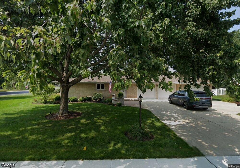
15403 S Pratt Ln Plainfield, IL 60544
East Plainfield NeighborhoodEstimated Value: $332,590 - $393,000
--
Bed
--
Bath
1,652
Sq Ft
$227/Sq Ft
Est. Value
About This Home
This home is located at 15403 S Pratt Ln, Plainfield, IL 60544 and is currently estimated at $374,648, approximately $226 per square foot. 15403 S Pratt Ln is a home located in Will County with nearby schools including Central Elementary School, Indian Trail Middle School, and Plainfield Central High School.
Ownership History
Date
Name
Owned For
Owner Type
Purchase Details
Closed on
Oct 11, 2013
Sold by
Hometown National Bank
Bought by
Brannen Anthony and Brannen Jean
Current Estimated Value
Purchase Details
Closed on
Jun 4, 2012
Sold by
Moffitt Lois A
Bought by
Moffitt Lois A and Lois A Moffitt Revocable Trust
Create a Home Valuation Report for This Property
The Home Valuation Report is an in-depth analysis detailing your home's value as well as a comparison with similar homes in the area
Home Values in the Area
Average Home Value in this Area
Purchase History
| Date | Buyer | Sale Price | Title Company |
|---|---|---|---|
| Brannen Anthony | $185,000 | First American Title | |
| Moffitt Lois A | -- | None Available |
Source: Public Records
Tax History Compared to Growth
Tax History
| Year | Tax Paid | Tax Assessment Tax Assessment Total Assessment is a certain percentage of the fair market value that is determined by local assessors to be the total taxable value of land and additions on the property. | Land | Improvement |
|---|---|---|---|---|
| 2024 | $6,923 | $109,908 | $21,514 | $88,394 |
| 2023 | $6,923 | $99,267 | $19,431 | $79,836 |
| 2022 | $6,547 | $91,655 | $17,941 | $73,714 |
| 2021 | $5,872 | $85,659 | $16,767 | $68,892 |
| 2020 | $5,763 | $83,228 | $16,291 | $66,937 |
| 2019 | $5,518 | $79,303 | $15,523 | $63,780 |
| 2018 | $5,216 | $74,509 | $14,584 | $59,925 |
| 2017 | $5,007 | $67,469 | $13,859 | $53,610 |
| 2016 | $5,308 | $64,348 | $13,218 | $51,130 |
| 2015 | $6,347 | $60,279 | $12,382 | $47,897 |
| 2014 | $6,347 | $57,361 | $19,501 | $37,860 |
| 2013 | $6,347 | $78,024 | $19,501 | $58,523 |
Source: Public Records
Map
Nearby Homes
- 15118 S Fox River St
- 15707 S Route 59
- 23815 W Getson Ave
- 23700 W Getson Ave
- 23627 W Chicago St
- 14917 S Eastern Ave
- 23909 W Main St
- 3.37AC Lockport St
- 24616 Lincolnway St
- 14814 S Penn Rd
- 24620 Kingston St Unit 4
- 000 Wood Farm Rd
- 24718 Kingston St
- 15717 S River Rd
- 0007 Illinois Route 59
- 0003 Illinois Route 59
- 0009 Illinois Route 59
- 0005 Illinois Route 59
- 0006 Illinois Route 59
- 16040 S Arbor Dr
- 15331 S Pratt Ln
- 24022 W Highview Ct
- 15411 S Pratt Ln Unit 1
- 15411 S Pratt Ln
- 15327 S Pratt Ln
- 24018 W Highview Ct
- 24027 W Union St
- 24019 W Highview Ct
- 15402 S Pratt Ln
- 15406 S Pratt Ln
- 15330 S Pratt Ln
- 15415 S Pratt Ln
- 15410 S Pratt Ln
- 24021 W Union St
- 24021 W Union St
- 24014 W Highview Ct
- 15326 S Pratt Ln
- 24015 W Highview Ct
- 15414 S Pratt Ln
- 15419 S Pratt Ln