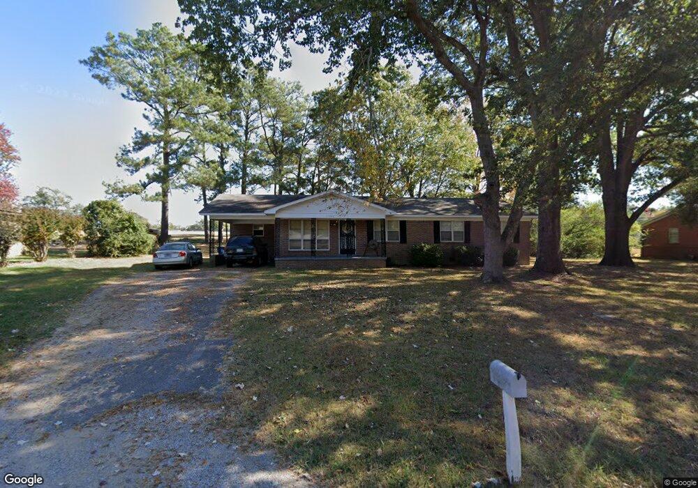
1546 Michael St Covington, TN 38019
Estimated Value: $170,000 - $207,000
Studio
2
Baths
1,669
Sq Ft
$110/Sq Ft
Est. Value
About This Home
This home is located at 1546 Michael St, Covington, TN 38019 and is currently estimated at $183,027, approximately $109 per square foot. 1546 Michael St is a home located in Tipton County with nearby schools including Crestview Elementary School, Crestview Middle School, and Covington High School.
Ownership History
Date
Name
Owned For
Owner Type
Purchase Details
Closed on
Sep 18, 2006
Sold by
Thomas Brent
Bought by
Marilyn Brent
Current Estimated Value
Home Financials for this Owner
Home Financials are based on the most recent Mortgage that was taken out on this home.
Original Mortgage
$50,000
Outstanding Balance
$29,404
Interest Rate
6.48%
Estimated Equity
$153,623
Purchase Details
Closed on
Nov 1, 1988
Bought by
Brent Thomas and Brent Ernestine
Purchase Details
Closed on
Jan 26, 1982
Bought by
Petie Inc
Purchase Details
Closed on
Dec 1, 1981
Purchase Details
Closed on
Dec 14, 1967
Purchase Details
Closed on
Oct 10, 1966
Create a Home Valuation Report for This Property
The Home Valuation Report is an in-depth analysis detailing your home's value as well as a comparison with similar homes in the area
Purchase History
| Date | Buyer | Sale Price | Title Company |
|---|---|---|---|
| Marilyn Brent | $50,000 | -- | |
| Brent Thomas | -- | -- | |
| Petie Inc | -- | -- | |
| -- | -- | -- | |
| -- | -- | -- | |
| -- | -- | -- |
Source: Public Records
Mortgage History
| Date | Status | Borrower | Loan Amount |
|---|---|---|---|
| Open | Not Available | $50,000 |
Source: Public Records
Tax History
| Year | Tax Paid | Tax Assessment Tax Assessment Total Assessment is a certain percentage of the fair market value that is determined by local assessors to be the total taxable value of land and additions on the property. | Land | Improvement |
|---|---|---|---|---|
| 2025 | -- | $40,925 | $4,875 | $36,050 |
| 2024 | -- | $40,925 | $4,875 | $36,050 |
| 2023 | $1,037 | $40,925 | $4,875 | $36,050 |
| 2022 | $938 | $28,600 | $3,575 | $25,025 |
| 2021 | $938 | $28,600 | $3,575 | $25,025 |
| 2020 | $938 | $28,600 | $3,575 | $25,025 |
| 2019 | $770 | $20,550 | $2,750 | $17,800 |
| 2018 | $770 | $20,550 | $2,750 | $17,800 |
| 2017 | $770 | $20,550 | $2,750 | $17,800 |
| 2016 | $770 | $20,550 | $2,750 | $17,800 |
| 2015 | $770 | $20,550 | $2,750 | $17,800 |
| 2014 | $770 | $20,561 | $0 | $0 |
Source: Public Records
Map
Nearby Homes
- 0 Hwy 51
- 1844 Wooten St
- 1186 U S 51
- LOT 7 Oil Mill Rd
- LOT 5 Oil Mill Rd
- LOT 3 Oil Mill Rd
- LOT 4 Oil Mill Rd
- LOT 8 Oil Mill Rd
- LOT 6 Oil Mill Rd
- 1015 Wortham Dr
- 451 Yarbrough Rd
- 664 Rialto Rd
- 900 Peete St
- 902 Hatchie Ave
- 417 Turner Ln
- 2051 Solo Rd
- 301 N Maple St
- 212 Feezor St
- 215 N Maple St
- 320 N High St
- 1536 Michael St
- 1556 Michael St
- 1549 Michael St
- 1528 Michael St
- 1541 Michael St
- 1557 Michael St
- 111 Steven Ave
- 105 Steven Ave
- 1533 Michael St
- 1565 Michael St
- 1518 Michael St
- 219 Steven Ave
- 1525 Michael St
- 1566 Andrew St
- 1530 Andrew St
- 1512 Michael St
- 1588 Andrew St
- 1416 Tennessee 3
- 1416 U S 51
- 220 Steven Ave
Your Personal Tour Guide
Ask me questions while you tour the home.