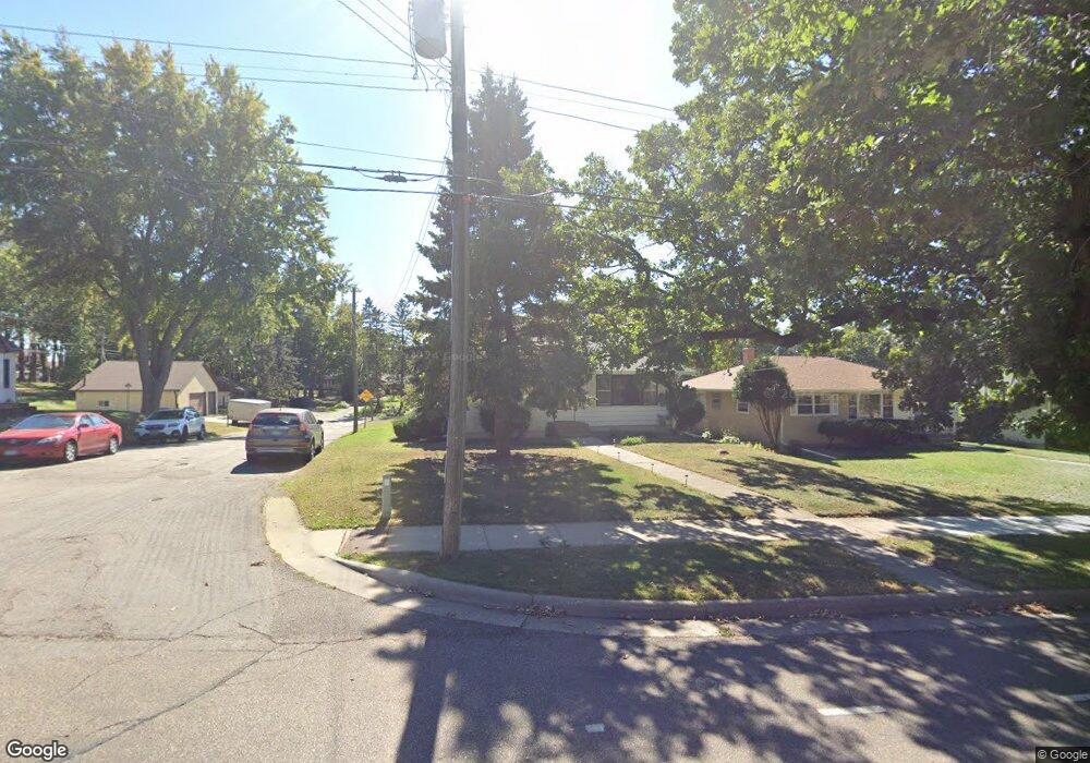
1548 Upper Afton Rd Saint Paul, MN 55106
Battle Creek NeighborhoodEstimated Value: $248,000 - $314,000
3
Beds
1
Bath
1,276
Sq Ft
$220/Sq Ft
Est. Value
About This Home
This home is located at 1548 Upper Afton Rd, Saint Paul, MN 55106 and is currently estimated at $281,081, approximately $220 per square foot. 1548 Upper Afton Rd is a home located in Ramsey County with nearby schools including Highwood Hills Elementary School, Battle Creek Middle School, and Harding Senior High School.
Ownership History
Date
Name
Owned For
Owner Type
Purchase Details
Closed on
Jul 17, 2024
Sold by
Estate Of Renate Esquival
Bought by
Cervantes Chavez Erik
Current Estimated Value
Home Financials for this Owner
Home Financials are based on the most recent Mortgage that was taken out on this home.
Original Mortgage
$235,000
Outstanding Balance
$232,193
Interest Rate
6.99%
Mortgage Type
New Conventional
Estimated Equity
$48,888
Purchase Details
Closed on
Jul 12, 2024
Sold by
Esquivel Renate
Bought by
Cervantes Chavez Erik
Home Financials for this Owner
Home Financials are based on the most recent Mortgage that was taken out on this home.
Original Mortgage
$235,000
Outstanding Balance
$232,193
Interest Rate
6.99%
Mortgage Type
New Conventional
Estimated Equity
$48,888
Create a Home Valuation Report for This Property
The Home Valuation Report is an in-depth analysis detailing your home's value as well as a comparison with similar homes in the area
Home Values in the Area
Average Home Value in this Area
Purchase History
| Date | Buyer | Sale Price | Title Company |
|---|---|---|---|
| Cervantes Chavez Erik | $250,000 | -- | |
| Cervantes Chavez Erik | -- | None Listed On Document |
Source: Public Records
Mortgage History
| Date | Status | Borrower | Loan Amount |
|---|---|---|---|
| Open | Cervantes Chavez Erik | $235,000 | |
| Closed | Cervantes Chavez Erik | $235,000 |
Source: Public Records
Tax History
| Year | Tax Paid | Tax Assessment Tax Assessment Total Assessment is a certain percentage of the fair market value that is determined by local assessors to be the total taxable value of land and additions on the property. | Land | Improvement |
|---|---|---|---|---|
| 2025 | $3,886 | $260,100 | $29,400 | $230,700 |
| 2023 | $3,886 | $259,500 | $29,400 | $230,100 |
| 2022 | $2,978 | $250,600 | $29,400 | $221,200 |
| 2021 | $3,328 | $197,900 | $29,400 | $168,500 |
| 2020 | $2,944 | $215,400 | $29,400 | $186,000 |
| 2019 | $2,462 | $190,000 | $29,400 | $160,600 |
| 2018 | $2,118 | $160,900 | $29,400 | $131,500 |
| 2017 | $2,054 | $146,000 | $25,900 | $120,100 |
| 2016 | $1,852 | $0 | $0 | $0 |
| 2015 | $2,342 | $126,300 | $25,900 | $100,400 |
| 2014 | $2,018 | $0 | $0 | $0 |
Source: Public Records
Map
Nearby Homes
- 1641 Leone Ave
- 1596 Mclean Ave
- 1715 Louise Ave
- TBD Kennard St
- 995 Kennard St
- 309 Etna St
- 1333 Pacific St
- 1311 Pacific St
- 51 White Bear Ave S
- 442 White Bear Ave N
- 1610 Fremont Ave
- 1223 Mclean Ave
- 1685 Fremont Ave E
- 1883 Garden Way
- 1918 Upper Afton Rd E
- 1651 4th St E
- 1173 Mclean Ave
- 1711 4th St E
- 426 Griffith St
- 597 Flandrau St
- 1544 Upper Afton Rd
- 200 Dora Ct E
- 1540 1540 Upper Afton Rd
- 1540 Upper Afton Rd
- 1562 Upper Afton Rd
- 1536 Upper Afton Rd
- 1530 Upper Afton Rd
- 1563 Upper Afton Rd
- 1526 Upper Afton Rd
- 1594 Upper Afton Rd
- 231 Sigurd St
- 231 231 Sigurd St
- 1555 Upper Afton Rd
- 1549 Upper Afton Rd
- 1520 Upper Afton Rd
- 1535 Upper Afton Rd
- 1535 1535 Upper Afton Rd
- 1531 Upper Afton Rd
- 1532 Dora Ln
- 1548 Dora Ln
Your Personal Tour Guide
Ask me questions while you tour the home.