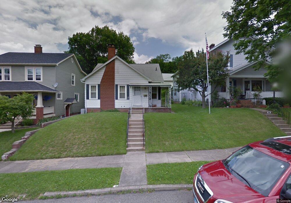
155 Marks Ave Lancaster, OH 43130
Estimated Value: $164,000 - $241,000
2
Beds
1
Bath
1,352
Sq Ft
$150/Sq Ft
Est. Value
About This Home
This home is located at 155 Marks Ave, Lancaster, OH 43130 and is currently estimated at $202,885, approximately $150 per square foot. 155 Marks Ave is a home located in Fairfield County with nearby schools including Tarhe Elementary School, General Sherman Junior High School, and Lancaster High School.
Ownership History
Date
Name
Owned For
Owner Type
Purchase Details
Closed on
Jun 29, 2018
Sold by
Nichols Gina M and Bope Gina M
Bought by
Crawford Lackey Ryan R
Current Estimated Value
Home Financials for this Owner
Home Financials are based on the most recent Mortgage that was taken out on this home.
Original Mortgage
$124,450
Outstanding Balance
$106,966
Interest Rate
4.6%
Mortgage Type
New Conventional
Estimated Equity
$95,919
Purchase Details
Closed on
Feb 28, 2013
Sold by
Mills Evelyn L and The Allen Mills Jr Living Trus
Bought by
Nichols Gina M
Home Financials for this Owner
Home Financials are based on the most recent Mortgage that was taken out on this home.
Original Mortgage
$48,500
Interest Rate
4.75%
Mortgage Type
Adjustable Rate Mortgage/ARM
Create a Home Valuation Report for This Property
The Home Valuation Report is an in-depth analysis detailing your home's value as well as a comparison with similar homes in the area
Home Values in the Area
Average Home Value in this Area
Purchase History
| Date | Buyer | Sale Price | Title Company |
|---|---|---|---|
| Crawford Lackey Ryan R | $131,000 | Valmer Land Title Agency Box | |
| Nichols Gina M | $54,000 | None Available |
Source: Public Records
Mortgage History
| Date | Status | Borrower | Loan Amount |
|---|---|---|---|
| Open | Crawford Lackey Ryan R | $124,450 | |
| Previous Owner | Nichols Gina M | $48,500 |
Source: Public Records
Tax History
| Year | Tax Paid | Tax Assessment Tax Assessment Total Assessment is a certain percentage of the fair market value that is determined by local assessors to be the total taxable value of land and additions on the property. | Land | Improvement |
|---|---|---|---|---|
| 2025 | $3,133 | $56,420 | $17,810 | $38,610 |
| 2024 | $3,133 | $34,850 | $10,690 | $24,160 |
| 2023 | $1,268 | $34,850 | $10,690 | $24,160 |
| 2022 | $1,273 | $34,850 | $10,690 | $24,160 |
| 2021 | $1,041 | $26,700 | $8,900 | $17,800 |
| 2020 | $997 | $26,700 | $8,900 | $17,800 |
| 2019 | $948 | $26,700 | $8,900 | $17,800 |
| 2018 | $959 | $23,520 | $8,900 | $14,620 |
| 2017 | $959 | $25,000 | $10,390 | $14,610 |
| 2016 | $911 | $25,000 | $10,390 | $14,610 |
| 2015 | $913 | $24,340 | $10,390 | $13,950 |
| 2014 | $895 | $24,340 | $10,390 | $13,950 |
| 2013 | $895 | $24,340 | $10,390 | $13,950 |
Source: Public Records
Map
Nearby Homes
- 148 Marks Ave
- 1156 Forest Rose Ave
- 0 Hillside Ave
- 0 Marks Ave Unit 225036443
- 330 Park St
- 336 Reber Ave
- 130 W Fair Ave
- 0 Wacker Dr Unit 225036189
- 820 N Broad St
- 123 Arnold Ave
- 165 Lake St
- 202 Wildwood Ave
- 1000 Goodwin Ave
- 17 Red Bud Ln
- 311 E Allen St
- 526 N Columbus St
- 515 N Columbus St
- 600 N High St
- 233 E 6th Ave
- 844 Washington Ave
Your Personal Tour Guide
Ask me questions while you tour the home.