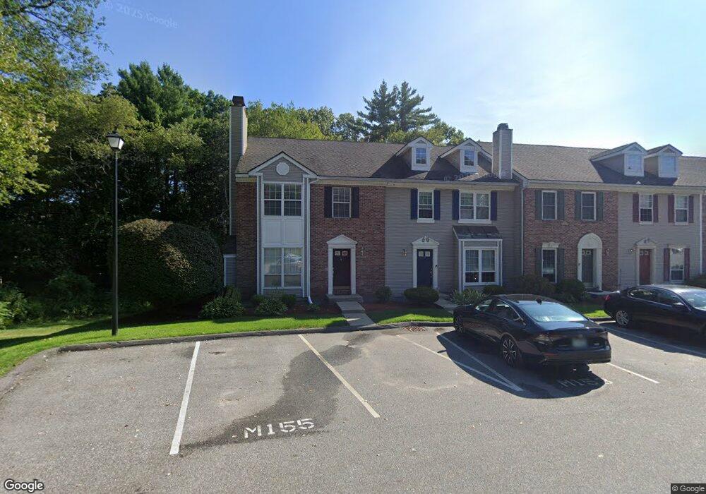
155 Middlesex Rd MerriMacK, NH 03054
Estimated Value: $397,738 - $441,000
3
Beds
3
Baths
1,871
Sq Ft
$222/Sq Ft
Est. Value
About This Home
This home is located at 155 Middlesex Rd, MerriMacK, NH 03054 and is currently estimated at $415,435, approximately $222 per square foot. 155 Middlesex Rd is a home located in Hillsborough County with nearby schools including Reeds Ferry School, James Mastricola Upper Elementary School, and Merrimack Middle School.
Ownership History
Date
Name
Owned For
Owner Type
Purchase Details
Closed on
Feb 21, 2025
Sold by
Heffernan Joseph J
Bought by
Joseph J Heffernan Ret and Heffernan
Current Estimated Value
Purchase Details
Closed on
Aug 21, 2008
Sold by
Fenton David R and Fenton Leahanne P
Bought by
Heffernan Joseph J
Home Financials for this Owner
Home Financials are based on the most recent Mortgage that was taken out on this home.
Original Mortgage
$219,240
Interest Rate
6.4%
Mortgage Type
Purchase Money Mortgage
Create a Home Valuation Report for This Property
The Home Valuation Report is an in-depth analysis detailing your home's value as well as a comparison with similar homes in the area
Home Values in the Area
Average Home Value in this Area
Purchase History
| Date | Buyer | Sale Price | Title Company |
|---|---|---|---|
| Joseph J Heffernan Ret | -- | None Available | |
| Joseph J Heffernan Ret | -- | None Available | |
| Heffernan Joseph J | $216,000 | -- | |
| Heffernan Joseph J | $216,000 | -- |
Source: Public Records
Mortgage History
| Date | Status | Borrower | Loan Amount |
|---|---|---|---|
| Previous Owner | Heffernan Joseph J | $213,562 | |
| Previous Owner | Heffernan Joseph J | $219,240 |
Source: Public Records
Tax History
| Year | Tax Paid | Tax Assessment Tax Assessment Total Assessment is a certain percentage of the fair market value that is determined by local assessors to be the total taxable value of land and additions on the property. | Land | Improvement |
|---|---|---|---|---|
| 2025 | $6,040 | $273,200 | $0 | $273,200 |
| 2024 | $5,653 | $273,200 | $0 | $273,200 |
| 2023 | $5,314 | $273,200 | $0 | $273,200 |
| 2022 | $4,748 | $273,200 | $0 | $273,200 |
| 2021 | $4,691 | $273,200 | $0 | $273,200 |
| 2020 | $4,656 | $193,500 | $0 | $193,500 |
| 2019 | $4,669 | $193,500 | $0 | $193,500 |
| 2018 | $4,667 | $193,500 | $0 | $193,500 |
| 2017 | $4,200 | $179,700 | $0 | $179,700 |
| 2016 | $4,095 | $179,700 | $0 | $179,700 |
| 2015 | $3,943 | $159,500 | $0 | $159,500 |
| 2014 | $3,842 | $159,500 | $0 | $159,500 |
| 2013 | $3,814 | $159,500 | $0 | $159,500 |
Source: Public Records
Map
Nearby Homes
- 147 Middlesex Rd
- 1 Maple Ridge Dr Unit 202
- 3 Galloway Rd Unit 8
- 130 Middlesex Rd
- 3 Mustang Dr Unit B
- 3-C Mustang Dr Unit MODEL
- 11B Mustang Dr Unit C
- 11B Mustang Dr Unit B
- 13B Mustang Dr Unit C
- 13B Mustang Dr Unit B
- 11B Mustang Dr Unit END UNIT- A
- 13B Mustang Dr Unit END UNIT-A
- 11B Mustang Dr Unit END UNIT-D
- 13B Mustang Dr Unit END UNIT-D
- 769 Daniel Webster Hwy
- 76 Shelburne Rd
- 490 Charles Bancroft Hwy
- 633 Daniel Webster Hwy
- 22 Back River Rd
- 29 Bedford Rd
- 153 Middlesex Rd
- 145 Middlesex Rd
- 141 Middlesex Rd
- 139 Middlesex Rd
- 137 Middlesex Rd
- 135 Middlesex Rd
- 133 Middlesex Rd
- 131 Middlesex Rd
- 129 Middlesex Rd
- 127 Middlesex Rd
- 126 Middlesex Rd
- 125 Middlesex Rd
- 124 Middlesex Rd
- 123 Middlesex Rd
- 121 Middlesex Rd
- 119 Middlesex Rd
- 117 Middlesex Rd
- 115 Middlesex Rd
- 113 Middlesex Rd
- 111 Middlesex Rd
Your Personal Tour Guide
Ask me questions while you tour the home.