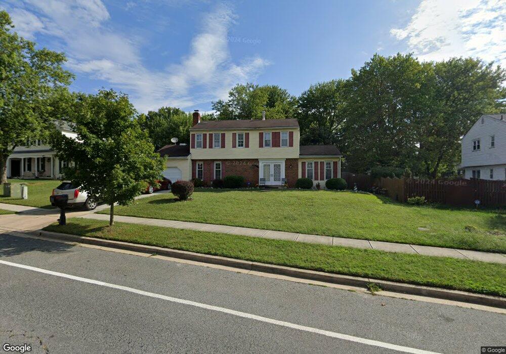
15509 Bounds Ave Laurel, MD 20707
West Laurel NeighborhoodEstimated Value: $455,924 - $599,000
--
Bed
3
Baths
1,792
Sq Ft
$292/Sq Ft
Est. Value
About This Home
This home is located at 15509 Bounds Ave, Laurel, MD 20707 and is currently estimated at $523,981, approximately $292 per square foot. 15509 Bounds Ave is a home located in Prince George's County with nearby schools including Bond Mill Elementary, Martin Luther King Jr. Middle School, and Laurel High School.
Ownership History
Date
Name
Owned For
Owner Type
Purchase Details
Closed on
Apr 13, 2009
Sold by
Briscoe Barrington L
Bought by
Briscoe Barrington L
Current Estimated Value
Purchase Details
Closed on
Jan 30, 1976
Sold by
Ford William B
Bought by
Briscoe Barrington L and Briscoe Joan L
Create a Home Valuation Report for This Property
The Home Valuation Report is an in-depth analysis detailing your home's value as well as a comparison with similar homes in the area
Home Values in the Area
Average Home Value in this Area
Purchase History
| Date | Buyer | Sale Price | Title Company |
|---|---|---|---|
| Briscoe Barrington L | -- | -- | |
| Briscoe Barrington L | $59,500 | -- |
Source: Public Records
Tax History Compared to Growth
Tax History
| Year | Tax Paid | Tax Assessment Tax Assessment Total Assessment is a certain percentage of the fair market value that is determined by local assessors to be the total taxable value of land and additions on the property. | Land | Improvement |
|---|---|---|---|---|
| 2025 | $5,162 | $416,000 | $141,200 | $274,800 |
| 2024 | $5,162 | $397,067 | $0 | $0 |
| 2023 | $4,987 | $378,133 | $0 | $0 |
| 2022 | $4,764 | $359,200 | $101,200 | $258,000 |
| 2021 | $4,602 | $351,667 | $0 | $0 |
| 2020 | $4,541 | $344,133 | $0 | $0 |
| 2019 | $4,456 | $336,600 | $100,600 | $236,000 |
| 2018 | $4,285 | $316,000 | $0 | $0 |
| 2017 | $4,139 | $295,400 | $0 | $0 |
| 2016 | -- | $274,800 | $0 | $0 |
| 2015 | $3,621 | $274,400 | $0 | $0 |
| 2014 | $3,621 | $274,000 | $0 | $0 |
Source: Public Records
Map
Nearby Homes
- 6403 Park Hall Dr
- 15622 Bond Mill Rd
- 6802 Niles Dr
- 6003 Windham Rd
- 6918 Scotch Dr
- 7019 Fitzpatrick Dr
- 7019 Redmiles Rd
- 15712 Dorset Rd Unit T3
- 7105 Split Rail Ln
- 7403 Berryleaf Dr
- 15708 Dorset Rd Unit 203
- 15708 Dorset Rd Unit 304
- 1027 Overlook Way
- 7312 Archsine Ln
- 1023 Flester Ln
- 1106 Overlook Way
- 1013 Highpoint Trail
- 15603 Dorset Rd Unit 101
- 7419 Berryleaf Dr
- 7323 Split Rail Ln
- 15511 Bounds Ave
- 6500 Park Hall Dr
- 6504 Park Hall Dr
- 6506 Park Hall Dr
- 6501 Darwin Rd
- 15510 Bounds Ave
- 6503 Darwin Rd
- 15508 Bounds Ave
- 15512 Bounds Ave
- 15506 Bounds Ave
- 6508 Park Hall Dr
- 6505 Park Hall Dr
- 6505 Darwin Rd
- 6507 Park Hall Dr
- 6419 Darwin Rd
- 15505 Bounds Ave
- 6416 Park Hall Dr
- 6509 Park Hall Dr
- 15507 Park Hall Ct
- 6510 Park Hall Dr