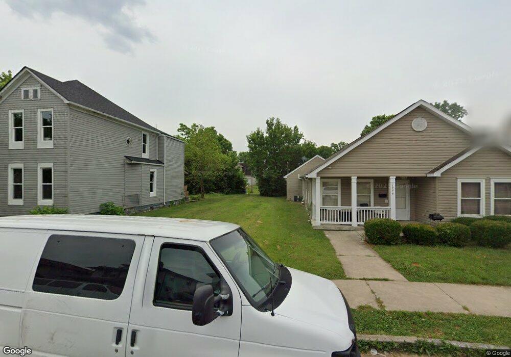
1552 W 1st St Dayton, OH 45402
Wolf Creek NeighborhoodEstimated Value: $61,000
2
Beds
1
Bath
1,592
Sq Ft
$38/Sq Ft
Est. Value
About This Home
This home is located at 1552 W 1st St, Dayton, OH 45402 and is currently priced at $61,000, approximately $38 per square foot. 1552 W 1st St is a home located in Montgomery County with nearby schools including International School at Residence Park, Louise Troy Elementary, and Westwood Elementary.
Ownership History
Date
Name
Owned For
Owner Type
Purchase Details
Closed on
May 6, 2020
Sold by
Montgomery Cnty Land Reutilization Corp
Bought by
City Of Dayton
Current Estimated Value
Purchase Details
Closed on
Nov 6, 2014
Sold by
Jermany Wing Sharon A
Bought by
Montgomery County Land Reutilization Cor
Purchase Details
Closed on
Mar 16, 2005
Sold by
Harris John G
Bought by
Jermany Sharon A
Purchase Details
Closed on
Jun 1, 1999
Sold by
Harris Treasavon B and Harris Tresavon B
Bought by
Harris John G
Purchase Details
Closed on
Oct 4, 1993
Sold by
Mccoy Zeffie B
Bought by
Harris Tresavon B
Create a Home Valuation Report for This Property
The Home Valuation Report is an in-depth analysis detailing your home's value as well as a comparison with similar homes in the area
Home Values in the Area
Average Home Value in this Area
Purchase History
| Date | Buyer | Sale Price | Title Company |
|---|---|---|---|
| City Of Dayton | -- | None Available | |
| Montgomery County Land Reutilization Cor | -- | None Available | |
| Jermany Sharon A | $9,200 | None Available | |
| Harris John G | -- | -- | |
| Harris Tresavon B | -- | -- |
Source: Public Records
Tax History Compared to Growth
Tax History
| Year | Tax Paid | Tax Assessment Tax Assessment Total Assessment is a certain percentage of the fair market value that is determined by local assessors to be the total taxable value of land and additions on the property. | Land | Improvement |
|---|---|---|---|---|
| 2024 | $1 | $840 | $840 | -- |
| 2023 | $1 | $840 | $840 | $0 |
| 2022 | $23 | $840 | $840 | $0 |
| 2021 | $23 | $840 | $840 | $0 |
| 2020 | $23 | $840 | $840 | $0 |
| 2019 | $40 | $840 | $840 | $0 |
| 2018 | $40 | $840 | $840 | $0 |
| 2017 | $76 | $840 | $840 | $0 |
| 2016 | $1,145 | $10,600 | $1,670 | $8,930 |
| 2015 | $945 | $10,600 | $1,670 | $8,930 |
| 2014 | $945 | $10,600 | $1,670 | $8,930 |
| 2012 | -- | $12,190 | $1,850 | $10,340 |
Source: Public Records
Map
Nearby Homes
- 1527 W 1st St
- 1540 W 2nd St
- 1568 W 2nd St
- 235 Mercer Ave
- 149 Edison St
- 408 N Conover St
- 401 S Euclid Ave Unit 403
- 403 S Euclid Ave
- 721 Kumler Ave
- 66 Barnett St Unit 64
- 369 N Mathison St
- 121 Gordon Ave
- 40 S Mathison St
- 200 N Orchard Ave
- 42 S Mathison St
- 1151 W 2nd St
- 508 S Paul Laurence Dunbar St
- 1005 W Third St
- 436 N Orchard Ave
- 1009 W Third St