1553 S Leaning Tree Ln Springfield, MO 65809
Southeast Springfield NeighborhoodEstimated Value: $321,000 - $449,000
3
Beds
2
Baths
2,382
Sq Ft
$154/Sq Ft
Est. Value
About This Home
This home is located at 1553 S Leaning Tree Ln, Springfield, MO 65809 and is currently estimated at $366,995, approximately $154 per square foot. 1553 S Leaning Tree Ln is a home located in Greene County with nearby schools including Wilder Elementary School, Glendale High School, and Grace Classical Academy.
Ownership History
Date
Name
Owned For
Owner Type
Purchase Details
Closed on
Jun 2, 2021
Sold by
Davis James Orville and Davis Linda Catherine
Bought by
Davis James Orville and Davis Linda Catherine
Current Estimated Value
Create a Home Valuation Report for This Property
The Home Valuation Report is an in-depth analysis detailing your home's value as well as a comparison with similar homes in the area
Home Values in the Area
Average Home Value in this Area
Purchase History
| Date | Buyer | Sale Price | Title Company |
|---|---|---|---|
| Davis James Orville | -- | None Listed On Document |
Source: Public Records
Tax History
| Year | Tax Paid | Tax Assessment Tax Assessment Total Assessment is a certain percentage of the fair market value that is determined by local assessors to be the total taxable value of land and additions on the property. | Land | Improvement |
|---|---|---|---|---|
| 2025 | $1,530 | $29,520 | $9,250 | $20,270 |
| 2024 | $1,582 | $28,420 | $9,250 | $19,170 |
| 2023 | $1,503 | $28,420 | $9,250 | $19,170 |
| 2022 | $1,415 | $26,080 | $9,250 | $16,830 |
| 2021 | $1,415 | $26,080 | $9,250 | $16,830 |
| 2020 | $1,429 | $25,100 | $9,250 | $15,850 |
| 2019 | $1,389 | $25,100 | $9,250 | $15,850 |
| 2018 | $1,213 | $21,920 | $9,250 | $12,670 |
| 2017 | $1,201 | $20,440 | $9,250 | $11,190 |
| 2016 | $1,120 | $20,440 | $9,250 | $11,190 |
| 2015 | $1,111 | $20,440 | $9,250 | $11,190 |
| 2014 | $1,067 | $20,440 | $9,250 | $11,190 |
Source: Public Records
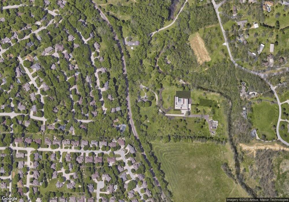
Map
Nearby Homes
- 1531 S Cedar Ridge St
- 4308 E Catalpa St
- 1456 S Bright Oak Ave
- 3706 E Linwood St
- Tract 2 S Post Oak Ct
- 4129 E Linwood St
- 4058 E Linwood St
- 4103 E Crighton Place
- 4286 E Latoka Ct
- 4094 E Washita St
- 1318 S Jones Mill Ln
- 1824 S Oakmont Ave
- Lot 12 S Markham Ct
- 3931 E Stanford St
- 3901 E Kingsbury St
- 1957 S Oakmont Ave
- 3803 E Linwood St
- 4257 E Misty Woods St
- 1516 S Essex Rd
- 2118 S Forrest Heights Ave
- 4365 E Whitehall Dr
- 4375 E Whitehall Dr
- 4359 E Whitehall Dr
- 1612 S Leaning Tree Ln
- 4381 E Whitehall Dr
- 4351 E Whitehall Dr
- 4405 E Kingsbury St
- 4366 E Whitehall Dr
- 4370 E Whitehall Dr
- 4360 E Whitehall Dr
- 4364 E Linwood St
- 1608 S Raford Dr
- 1457 S Leaning Tree Ln
- 4341 E Whitehall Dr
- 4395 E Kingsbury St
- 4356 E Whitehall Dr
- 4385 E Kingsbury St
- 4356 E Linwood St
- 1624 S Raford Dr
- 1532 S Cedar Ridge St
Your Personal Tour Guide
Ask me questions while you tour the home.