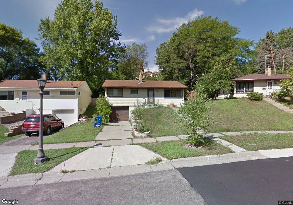
1555 Euclid St Saint Paul, MN 55106
Battle Creek NeighborhoodEstimated Value: $268,000 - $279,000
3
Beds
2
Baths
1,872
Sq Ft
$146/Sq Ft
Est. Value
About This Home
This home is located at 1555 Euclid St, Saint Paul, MN 55106 and is currently estimated at $273,636, approximately $146 per square foot. 1555 Euclid St is a home located in Ramsey County with nearby schools including Battle Creek Elementary School, Battle Creek Middle School, and Harding Senior High School.
Ownership History
Date
Name
Owned For
Owner Type
Purchase Details
Closed on
May 1, 2020
Sold by
Long Craig and Long Mckensi
Bought by
Hang Tony Blong
Current Estimated Value
Home Financials for this Owner
Home Financials are based on the most recent Mortgage that was taken out on this home.
Original Mortgage
$211,105
Outstanding Balance
$187,765
Interest Rate
3.5%
Mortgage Type
FHA
Estimated Equity
$85,871
Create a Home Valuation Report for This Property
The Home Valuation Report is an in-depth analysis detailing your home's value as well as a comparison with similar homes in the area
Home Values in the Area
Average Home Value in this Area
Purchase History
| Date | Buyer | Sale Price | Title Company |
|---|---|---|---|
| Hang Tony Blong | $215,000 | Titlesmart Inc |
Source: Public Records
Mortgage History
| Date | Status | Borrower | Loan Amount |
|---|---|---|---|
| Open | Hang Tony Blong | $211,105 |
Source: Public Records
Tax History Compared to Growth
Tax History
| Year | Tax Paid | Tax Assessment Tax Assessment Total Assessment is a certain percentage of the fair market value that is determined by local assessors to be the total taxable value of land and additions on the property. | Land | Improvement |
|---|---|---|---|---|
| 2025 | $3,326 | $233,700 | $50,900 | $182,800 |
| 2023 | $3,326 | $225,000 | $31,700 | $193,300 |
| 2022 | $2,998 | $233,100 | $31,700 | $201,400 |
| 2021 | $2,564 | $199,100 | $31,700 | $167,400 |
| 2020 | $2,230 | $179,200 | $31,700 | $147,500 |
| 2019 | $1,980 | $150,300 | $31,700 | $118,600 |
| 2018 | $2,084 | $134,400 | $31,700 | $102,700 |
| 2017 | $3,006 | $121,800 | $31,700 | $90,100 |
| 2016 | $3,248 | $0 | $0 | $0 |
| 2015 | $1,934 | $122,900 | $31,700 | $91,200 |
| 2014 | $1,702 | $0 | $0 | $0 |
Source: Public Records
Map
Nearby Homes
- 1538 Wilson Ave
- 1600 Old Hudson Rd
- 1450 Fremont Ave
- 1443 Pacific St
- 1685 Fremont Ave
- 267 Hazelwood St
- 1489 6th St E
- 1351 3rd St E
- 1551 Margaret St
- 1493 Margaret St
- 1320 Wilson Ave
- 237 Sigurd St
- 201 Dora Ct W
- 1333 Pacific St
- 1821 Wilson Ave
- 1590 Minnehaha Ave E
- 1303 Fremont Ave
- 244 Point Douglas Rd N
- 1269 Wilson Ave
- 1751 Margaret St
- 1551 Euclid St
- 1559 Euclid St
- 447 Hazelwood St
- 1547 Euclid St
- 1563 Euclid St
- 1563 Euclid St
- 1556 Euclid St
- 1543 Euclid St
- 1545 Wilson Ave
- 1550 Euclid St
- 1567 Euclid St
- 451 Hazelwood St
- 1539 Wilson Ave
- 1555 Wilson Ave
- 1546 Euclid St
- 1535 Wilson Ave
- 1535 1535 Wilson-Avenue-
- 1578 Euclid St
- 1578 1578 Euclid-Street-
- 1571 Euclid St