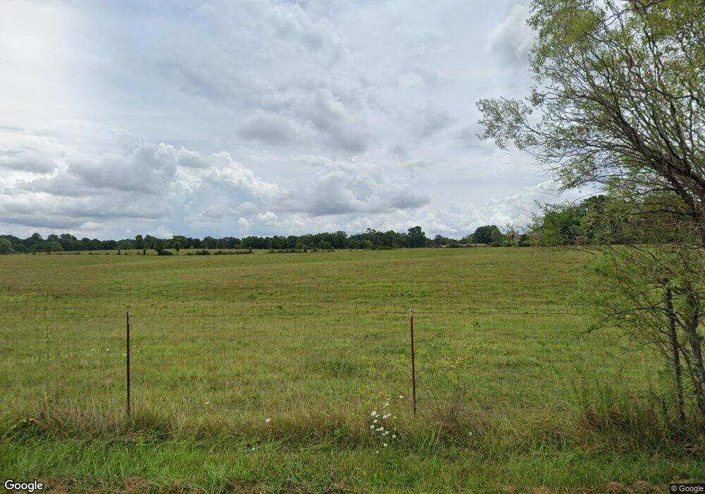
1555 Shaver Rd Clarkrange, TN 38553
Estimated Value: $375,000 - $761,000
Studio
2
Baths
1,492
Sq Ft
$408/Sq Ft
Est. Value
About This Home
This home is located at 1555 Shaver Rd, Clarkrange, TN 38553 and is currently estimated at $608,549, approximately $407 per square foot. 1555 Shaver Rd is a home located in Fentress County.
Create a Home Valuation Report for This Property
The Home Valuation Report is an in-depth analysis detailing your home's value as well as a comparison with similar homes in the area
Tax History
| Year | Tax Paid | Tax Assessment Tax Assessment Total Assessment is a certain percentage of the fair market value that is determined by local assessors to be the total taxable value of land and additions on the property. | Land | Improvement |
|---|---|---|---|---|
| 2025 | $810 | $60,025 | $20,825 | $39,200 |
| 2024 | $968 | $71,675 | $29,350 | $42,325 |
| 2023 | $968 | $71,675 | $29,350 | $42,325 |
| 2022 | $956 | $50,050 | $22,650 | $27,400 |
| 2021 | $956 | $50,050 | $22,650 | $27,400 |
| 2020 | $923 | $50,050 | $22,650 | $27,400 |
| 2019 | $923 | $48,300 | $22,650 | $25,650 |
| 2018 | $923 | $48,300 | $22,650 | $25,650 |
| 2017 | $914 | $46,050 | $19,825 | $26,225 |
| 2016 | $914 | $46,050 | $19,825 | $26,225 |
| 2015 | $913 | $46,037 | $0 | $0 |
| 2014 | $913 | $46,037 | $0 | $0 |
Source: Public Records
Map
Nearby Homes
- 120 Miller Rd
- 3669 Martha Washington Rd
- 3695 Martha Washington Rd
- 221 Craig Rd
- 229 Craig Rd
- 1188 Clarkrange Monterey Hwy
- 000 Hollow Creek Ln
- 0 Hollow Creek Ln
- 892 Norris Rd
- Eastfork Obey River Hurricane Ln Unit LotWP002
- Eastfork Obey River Hurricane Ln Unit LotWP001
- 20.78 ac B Armstrong Ln
- 2047 Todd Rd
- 469 Ferry Bend Trail
- 515 Ferry Bend Trail
- 523 Ferry Bend Trail
- 4.47 ac 523 Ferry Bend Trail
- 4.47 ac 523 Ferry Bend Tr
- 447 523 Ferry Bend Tr
- Lot 12 Ferry Bend Trail
- 1612 Shaver Rd
- 1610 Shaver Rd
- 1665 Campground Rd
- 1655 Shaver Rd
- 1659 Shaver Rd
- 1820 Campground Rd
- 1685 Shaver Rd
- 1401 Campground Rd
- 1501 Campground Rd
- 1640 Campground Rd
- 0 Shaver Rd
- - Shaver Rd
- 1535 Campground Rd
- 1545 Campground Rd
- 1708 Shaver Rd
- 1395 Campground Rd
- 1399 Campground Rd
- 1397 Campground Rd
- 1381 Campground Rd
- 1506 Campground Rd
