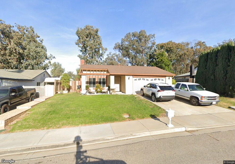
1563 Tilson Cir Corona, CA 92882
Central Corona NeighborhoodEstimated Value: $666,719 - $716,000
4
Beds
2
Baths
1,312
Sq Ft
$527/Sq Ft
Est. Value
About This Home
This home is located at 1563 Tilson Cir, Corona, CA 92882 and is currently estimated at $690,930, approximately $526 per square foot. 1563 Tilson Cir is a home located in Riverside County with nearby schools including John Adams Elementary School, Letha Raney Intermediate School, and Corona High School.
Ownership History
Date
Name
Owned For
Owner Type
Purchase Details
Closed on
Jun 28, 2025
Sold by
Holden David Michael and Holden Raiza
Bought by
Holden Family Trust and Holden
Current Estimated Value
Purchase Details
Closed on
Apr 24, 2003
Sold by
Holden David Michael and Holden Raiza
Bought by
Holden David M and Holden Raiza
Home Financials for this Owner
Home Financials are based on the most recent Mortgage that was taken out on this home.
Original Mortgage
$174,000
Interest Rate
5.54%
Mortgage Type
Purchase Money Mortgage
Create a Home Valuation Report for This Property
The Home Valuation Report is an in-depth analysis detailing your home's value as well as a comparison with similar homes in the area
Home Values in the Area
Average Home Value in this Area
Purchase History
| Date | Buyer | Sale Price | Title Company |
|---|---|---|---|
| Holden Family Trust | -- | None Listed On Document | |
| Holden David M | -- | Southland |
Source: Public Records
Mortgage History
| Date | Status | Borrower | Loan Amount |
|---|---|---|---|
| Previous Owner | Holden David M | $174,000 |
Source: Public Records
Tax History
| Year | Tax Paid | Tax Assessment Tax Assessment Total Assessment is a certain percentage of the fair market value that is determined by local assessors to be the total taxable value of land and additions on the property. | Land | Improvement |
|---|---|---|---|---|
| 2025 | $2,548 | $234,523 | $84,423 | $150,100 |
| 2023 | $2,548 | $225,418 | $81,146 | $144,272 |
| 2022 | $2,465 | $220,999 | $79,555 | $141,444 |
| 2021 | $2,415 | $216,667 | $77,996 | $138,671 |
| 2020 | $2,388 | $214,447 | $77,197 | $137,250 |
| 2019 | $2,333 | $210,243 | $75,684 | $134,559 |
| 2018 | $2,280 | $206,121 | $74,201 | $131,920 |
| 2017 | $2,224 | $202,081 | $72,747 | $129,334 |
| 2016 | $2,201 | $198,120 | $71,321 | $126,799 |
| 2015 | $2,153 | $195,146 | $70,250 | $124,896 |
| 2014 | $2,075 | $191,325 | $68,875 | $122,450 |
Source: Public Records
Map
Nearby Homes
- 1546 Tilson Cir
- 1598 Border Ave Unit H
- 1320 Brentwood Cir Unit B
- 1554 Border Ave Unit G
- 1305 Brentwood Cir Unit D
- 2313 Mesquite Ln
- 1764 Coplen Cir
- 1466 Camelot Dr
- 1531 Camelot Dr
- 1422 Camelot Dr
- 2416 Patriot Way
- 2443 Emerson Cir
- 1420 Avenida Del Vista
- 1255 Jadestone Ln
- 2421 Mangular Ave
- 2183 Applegate Dr
- 2598 Independence Way
- 1226 Sunkist Cir
- 1720 Sugar Pine Dr
- 1161 Hummingbird Ln
- 1557 Tilson Cir
- 1575 Tilson Cir
- 1549 Tilson Cir
- 1591 Tilson Cir
- 1478 Baird St
- 1472 Baird St
- 1560 Tilson Cir
- 1466 Baird St
- 1574 Tilson Cir
- 1541 Tilson Cir
- 1458 Baird St
- 1588 Tilson Cir
- 1494 Baird St
- 1452 Baird St
- 1444 Baird St
- 1436 Baird St
- 1928 Border Ave
- 1906 Border Ave
- 2201 Mcneil Cir
- 1942 Border Ave
Your Personal Tour Guide
Ask me questions while you tour the home.