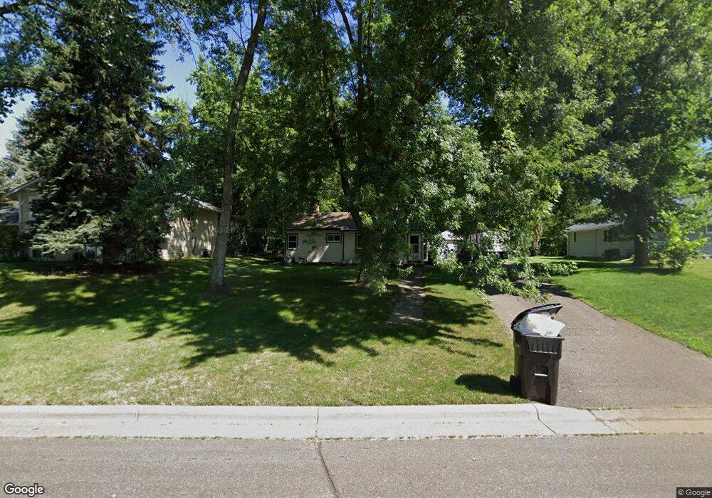
1565 Sextant Ave E Saint Paul, MN 55109
Hazelwood NeighborhoodEstimated Value: $279,000 - $307,000
3
Beds
1
Bath
1,768
Sq Ft
$165/Sq Ft
Est. Value
About This Home
This home is located at 1565 Sextant Ave E, Saint Paul, MN 55109 and is currently estimated at $292,569, approximately $165 per square foot. 1565 Sextant Ave E is a home located in Ramsey County with nearby schools including Richardson Elementary School and John Glenn Middle School.
Ownership History
Date
Name
Owned For
Owner Type
Purchase Details
Closed on
Feb 15, 2019
Sold by
1565 Sextant Avenue Llc
Bought by
Hanson Christopher R and Hanson Adrienne G
Current Estimated Value
Home Financials for this Owner
Home Financials are based on the most recent Mortgage that was taken out on this home.
Original Mortgage
$195,900
Outstanding Balance
$171,880
Interest Rate
4.4%
Mortgage Type
New Conventional
Estimated Equity
$120,689
Create a Home Valuation Report for This Property
The Home Valuation Report is an in-depth analysis detailing your home's value as well as a comparison with similar homes in the area
Home Values in the Area
Average Home Value in this Area
Purchase History
| Date | Buyer | Sale Price | Title Company |
|---|---|---|---|
| Hanson Christopher R | $202,000 | Executive Title |
Source: Public Records
Mortgage History
| Date | Status | Borrower | Loan Amount |
|---|---|---|---|
| Open | Hanson Christopher R | $195,900 |
Source: Public Records
Tax History Compared to Growth
Tax History
| Year | Tax Paid | Tax Assessment Tax Assessment Total Assessment is a certain percentage of the fair market value that is determined by local assessors to be the total taxable value of land and additions on the property. | Land | Improvement |
|---|---|---|---|---|
| 2025 | $3,460 | $272,200 | $65,000 | $207,200 |
| 2023 | $3,460 | $255,200 | $65,000 | $190,200 |
| 2022 | $2,874 | $246,000 | $65,000 | $181,000 |
| 2021 | $2,538 | $207,600 | $65,000 | $142,600 |
| 2020 | $2,324 | $190,200 | $65,000 | $125,200 |
| 2019 | $2,074 | $166,500 | $65,000 | $101,500 |
| 2018 | $2,002 | $153,600 | $65,000 | $88,600 |
| 2017 | $2,274 | $145,900 | $65,000 | $80,900 |
| 2016 | $2,614 | $0 | $0 | $0 |
| 2015 | $2,172 | $133,400 | $56,300 | $77,100 |
| 2014 | $2,438 | $0 | $0 | $0 |
Source: Public Records
Map
Nearby Homes
- 2420 Hazelwood St
- 2554 Bittersweet Ln
- 1496 Laurie Rd E
- 1509 Sandhurst Ave E
- 13XXX County Road C E
- 1666 Laurie Rd E
- 1694 Laurie Rd E
- 1467 County Road B E
- 1247 Lealand Rd E
- 1984 Prosperity Rd
- 2175 German St
- 1940 Barclay St
- 1937 Flandrau St
- 1018 Sextant Ave
- 2193 Jennifer Ct
- 1854 Barclay St
- 1869 Birmingham St
- 1849 Kennard St
- 1870 Clarence St
- 1632 Legacy Pkwy E Unit 1
- 1557 Sextant Ave E
- 1573 Sextant Ave E
- 1581 Sextant Ave E
- 2430 Hazelwood St
- 2434 Hazelwood St
- 1562 Sextant Ave E
- 1570 Sextant Ave E
- 2440 Hazelwood St
- 1554 Sextant Ave E
- 1578 Sextant Ave E
- 1587 Sextant Ave E
- 2458 Hazelwood St
- 1586 Sextant Ave E
- 1563 Gervais Ave
- 1571 Gervais Ave
- 1595 Sextant Ave E
- 1555 Gervais Ave
- 2451 Germain St
- 2460 Hazelwood St
- 1579 Gervais Ave