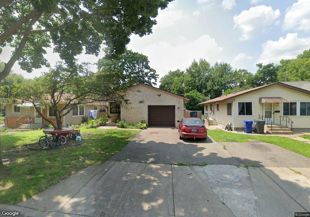
1567 Virginia St Saint Paul, MN 55117
North End NeighborhoodEstimated Value: $297,000 - $335,000
3
Beds
2
Baths
1,044
Sq Ft
$298/Sq Ft
Est. Value
About This Home
This home is located at 1567 Virginia St, Saint Paul, MN 55117 and is currently estimated at $311,475, approximately $298 per square foot. 1567 Virginia St is a home located in Ramsey County with nearby schools including Chelsea Heights Elementary, Murray Middle School, and Como Park Senior High School.
Ownership History
Date
Name
Owned For
Owner Type
Purchase Details
Closed on
Aug 31, 2020
Sold by
Dargontina Jason E and Dargontina Lisa Mack
Bought by
Zay Maung and Kan Hla
Current Estimated Value
Home Financials for this Owner
Home Financials are based on the most recent Mortgage that was taken out on this home.
Original Mortgage
$235,653
Outstanding Balance
$209,126
Interest Rate
2.9%
Mortgage Type
FHA
Estimated Equity
$102,349
Purchase Details
Closed on
Mar 14, 1997
Sold by
Skillings Wayne A and Skillings Sharon A
Bought by
Simbeck Gregory M and Simbeck Mary Jo
Create a Home Valuation Report for This Property
The Home Valuation Report is an in-depth analysis detailing your home's value as well as a comparison with similar homes in the area
Home Values in the Area
Average Home Value in this Area
Purchase History
| Date | Buyer | Sale Price | Title Company |
|---|---|---|---|
| Zay Maung | $240,000 | Titlesmart Inc | |
| Simbeck Gregory M | $92,500 | -- |
Source: Public Records
Mortgage History
| Date | Status | Borrower | Loan Amount |
|---|---|---|---|
| Open | Zay Maung | $235,653 |
Source: Public Records
Tax History Compared to Growth
Tax History
| Year | Tax Paid | Tax Assessment Tax Assessment Total Assessment is a certain percentage of the fair market value that is determined by local assessors to be the total taxable value of land and additions on the property. | Land | Improvement |
|---|---|---|---|---|
| 2025 | $4,218 | $291,600 | $50,000 | $241,600 |
| 2023 | $4,218 | $279,800 | $50,000 | $229,800 |
| 2022 | $3,496 | $277,700 | $50,000 | $227,700 |
| 2021 | $3,062 | $228,100 | $50,000 | $178,100 |
| 2020 | $3,072 | $200,800 | $28,900 | $171,900 |
| 2019 | $2,610 | $197,500 | $28,900 | $168,600 |
| 2018 | $2,378 | $169,600 | $28,900 | $140,700 |
| 2017 | $2,162 | $161,400 | $28,900 | $132,500 |
| 2016 | $2,216 | $0 | $0 | $0 |
| 2015 | $2,184 | $152,900 | $28,900 | $124,000 |
| 2014 | $2,204 | $0 | $0 | $0 |
Source: Public Records
Map
Nearby Homes
- 1556 Western Ave N
- 373 Nebraska Ave W
- 1600 Arundel St Unit 204
- 254 Idaho Ave W
- 1457 Arundel St
- 1630 MacKubin St
- 408 Arlington Ave W
- 397 Cottage Ave W Unit 3
- 1578 Albemarle St
- 1599 Rice St
- 1454 Albemarle St
- 1801 Western Ave N
- 230 McCarrons Place
- 229 McCarrons Place
- 101 Wheelock Pkwy W
- 1464 Maywood St
- 1296 Marion St
- 420 McCarrons Blvd S
- 1300 Schletti St
- 1400 Mayre St
- 1563 Virginia St
- 1569 Virginia St
- 1577 Virginia St
- 379 Hoyt Ave W
- 1564 Western Ave N
- 1557 Virginia St
- 1564 Virginia St
- 379 379 Hoyt Ave W
- 1576 Western Ave N
- 1553 Virginia St
- 1583 Virginia St
- 1564 1564 Western Ave N
- 1560 Western Ave N
- 351 Wheelock Pkwy W
- 357 Wheelock Pkwy W
- 1586 Western Ave N
- 349 Wheelock Pkwy W
- 353 Wheelock Pkwy W
- 353 353 Wheelock-Parkway-w
- 1547 Virginia St