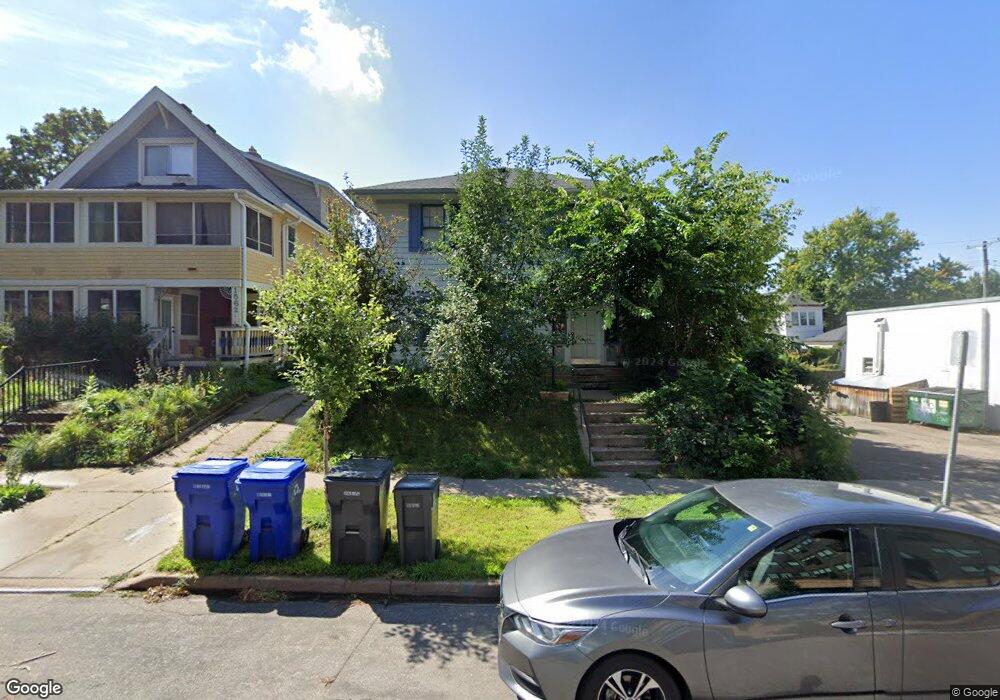
1568 Hague Ave Saint Paul, MN 55104
Union Park NeighborhoodEstimated Value: $387,000 - $454,000
4
Beds
2
Baths
2,480
Sq Ft
$169/Sq Ft
Est. Value
About This Home
This home is located at 1568 Hague Ave, Saint Paul, MN 55104 and is currently estimated at $417,965, approximately $168 per square foot. 1568 Hague Ave is a home located in Ramsey County with nearby schools including Maxfield Magnet Elementary School, Hidden River Middle School, and Central Senior High School.
Ownership History
Date
Name
Owned For
Owner Type
Purchase Details
Closed on
Feb 10, 2014
Sold by
Wall Steven D and Wuori Randall E
Bought by
Wuori Randalle E and Wuori Sandra
Current Estimated Value
Home Financials for this Owner
Home Financials are based on the most recent Mortgage that was taken out on this home.
Original Mortgage
$148,200
Outstanding Balance
$111,049
Interest Rate
4.12%
Mortgage Type
Adjustable Rate Mortgage/ARM
Estimated Equity
$306,916
Purchase Details
Closed on
Apr 29, 1997
Sold by
Thury James R and Thury Carol L
Bought by
Wall Steven D and Wuori Randall E
Create a Home Valuation Report for This Property
The Home Valuation Report is an in-depth analysis detailing your home's value as well as a comparison with similar homes in the area
Home Values in the Area
Average Home Value in this Area
Purchase History
| Date | Buyer | Sale Price | Title Company |
|---|---|---|---|
| Wuori Randalle E | $515 | None Available | |
| Wall Steven D | $120,000 | -- |
Source: Public Records
Mortgage History
| Date | Status | Borrower | Loan Amount |
|---|---|---|---|
| Open | Wuori Randalle E | $148,200 |
Source: Public Records
Tax History Compared to Growth
Tax History
| Year | Tax Paid | Tax Assessment Tax Assessment Total Assessment is a certain percentage of the fair market value that is determined by local assessors to be the total taxable value of land and additions on the property. | Land | Improvement |
|---|---|---|---|---|
| 2025 | $7,178 | $398,700 | $56,400 | $342,300 |
| 2023 | $7,178 | $353,100 | $56,400 | $296,700 |
| 2022 | $7,126 | $356,500 | $56,400 | $300,100 |
| 2021 | $6,384 | $336,400 | $56,400 | $280,000 |
| 2020 | $6,408 | $316,800 | $56,400 | $260,400 |
| 2019 | $6,264 | $287,200 | $56,400 | $230,800 |
| 2018 | $6,356 | $277,400 | $56,400 | $221,000 |
| 2017 | $5,414 | $288,500 | $56,400 | $232,100 |
| 2016 | $5,616 | $0 | $0 | $0 |
| 2015 | $5,400 | $220,800 | $47,900 | $172,900 |
| 2014 | $5,268 | $0 | $0 | $0 |
Source: Public Records
Map
Nearby Homes
- 1510 Laurel Ave
- 184 Saratoga St N
- 1540 Ashland Ave Unit 12
- 1447 Hague Ave
- 1670 Ashland Ave
- 266 Fry St
- 1671 Marshall Ave
- 750 Summit Ave
- 1611 Carroll Ave
- 1798 Marshall Ave
- 382 Fry St
- 1325 Dayton Ave
- 389 Roy St N
- 1821 Selby Ave
- 1796 Iglehart Ave
- 1836 Marshall Ave
- 1354 Grand Ave
- 1787 Carroll Ave
- 12XX Marshall Ave
- 423 Fry St
- 1562 Hague Ave
- 1554 Hague Ave
- 1571 Laurel Ave
- 1573 Laurel Ave
- 1565 Laurel Ave
- 1561 Laurel Ave
- 1577 Laurel Ave
- 1550 Hague Ave
- 1555 Laurel Ave
- 1559 Hague Ave
- 1557 Hague Ave
- 1548 Hague Ave
- 1551 Laurel Ave
- 1551 Hague Ave
- 1545 Laurel Ave
- 1547 Hague Ave
- 143 Snelling Ave N
- 143 Snelling Ave N
- 1583 Laurel Ave Unit 1
- 1583 Laurel Ave Unit 3