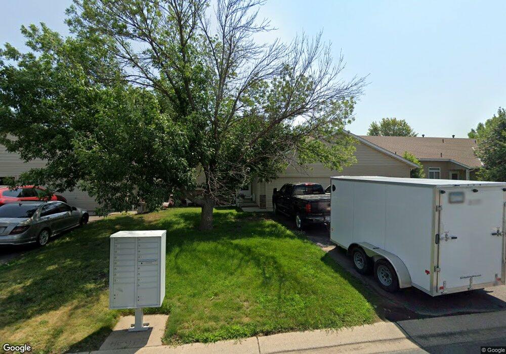
1569 Chartreux Ave Shakopee, MN 55379
Estimated Value: $283,000 - $304,000
3
Beds
2
Baths
1,520
Sq Ft
$193/Sq Ft
Est. Value
About This Home
This home is located at 1569 Chartreux Ave, Shakopee, MN 55379 and is currently estimated at $293,202, approximately $192 per square foot. 1569 Chartreux Ave is a home located in Scott County with nearby schools including Sun Path Elementary School, Shakopee West Middle School, and Shakopee Senior High School.
Ownership History
Date
Name
Owned For
Owner Type
Purchase Details
Closed on
Nov 15, 2017
Sold by
Monson Michael P and Monson Emily A
Bought by
Laleman Kevin J and Laleman Sherri L
Current Estimated Value
Home Financials for this Owner
Home Financials are based on the most recent Mortgage that was taken out on this home.
Original Mortgage
$144,000
Outstanding Balance
$120,665
Interest Rate
3.85%
Mortgage Type
New Conventional
Estimated Equity
$172,537
Purchase Details
Closed on
May 11, 2004
Sold by
Mw Johnson Construction
Bought by
Voelz Emily and Monson Michael
Purchase Details
Closed on
Feb 10, 2003
Sold by
Tollefson Dev Inc
Bought by
Mw Johnson Const Inc
Create a Home Valuation Report for This Property
The Home Valuation Report is an in-depth analysis detailing your home's value as well as a comparison with similar homes in the area
Home Values in the Area
Average Home Value in this Area
Purchase History
| Date | Buyer | Sale Price | Title Company |
|---|---|---|---|
| Laleman Kevin J | $180,000 | Watermark Title Agency | |
| Voelz Emily | $176,852 | -- | |
| Mw Johnson Const Inc | $4,741,500 | -- |
Source: Public Records
Mortgage History
| Date | Status | Borrower | Loan Amount |
|---|---|---|---|
| Open | Laleman Kevin J | $144,000 |
Source: Public Records
Tax History Compared to Growth
Tax History
| Year | Tax Paid | Tax Assessment Tax Assessment Total Assessment is a certain percentage of the fair market value that is determined by local assessors to be the total taxable value of land and additions on the property. | Land | Improvement |
|---|---|---|---|---|
| 2025 | $3,034 | $301,200 | $106,500 | $194,700 |
| 2024 | $2,730 | $287,300 | $101,400 | $185,900 |
| 2023 | $2,804 | $254,500 | $71,000 | $183,500 |
| 2022 | $2,754 | $257,300 | $72,700 | $184,600 |
| 2021 | $2,318 | $216,400 | $57,000 | $159,400 |
| 2020 | $2,578 | $199,000 | $52,500 | $146,500 |
| 2019 | $2,406 | $194,400 | $44,400 | $150,000 |
| 2018 | $2,406 | $0 | $0 | $0 |
| 2016 | $2,284 | $0 | $0 | $0 |
| 2014 | -- | $0 | $0 | $0 |
Source: Public Records
Map
Nearby Homes
- 2471 Tyrone Dr
- 2447 Tyrone Dr
- 2399 Tyrone Dr
- 1511 England Way
- 2263 Tyrone Dr
- 1552 Dublin Ct
- 2006 Tyrone Dr
- 2312 Vierling Dr E
- 2388 Vierling Dr E
- Lewis Plan at Summerland Place - Landmark Collection
- 2795 Downing Ave
- Vanderbilt Plan at Summerland Place - Landmark Collection
- Sinclair Plan at Summerland Place - Landmark Collection
- 2804 Trinity Dr
- Nokomis Plan at Summerland Place - The Tradition Collection
- Gregorian Plan at Summerland Place - The Tradition Collection
- 1542 Philipp Way
- Pryor Plan at Summerland Place - The Tradition Collection
- Mille Lacs Plan at Summerland Place - The Tradition Collection
- Crestwood Plan at Summerland Place - The Tradition Collection
- 1561 Chartreux Ave
- 1577 Chartreux Ave
- 1585 Chartreux Ave
- 1553 Chartreux Ave
- 1592 Balinese St
- 1594 Balinese St
- 1590 Balinese St
- 1593 Chartreux Ave
- 1545 Chartreux Ave
- 1596 Balinese St
- 1588 Balinese St
- 1598 Balinese St
- 1586 Balinese St
- 1537 Chartreux Ave
- 1572 Chartreux Ave
- 1564 Chartreux Ave
- 1580 Chartreux Ave
- 1556 Chartreux Ave
- 1584 Balinese St
- 1588 Chartreux Ave