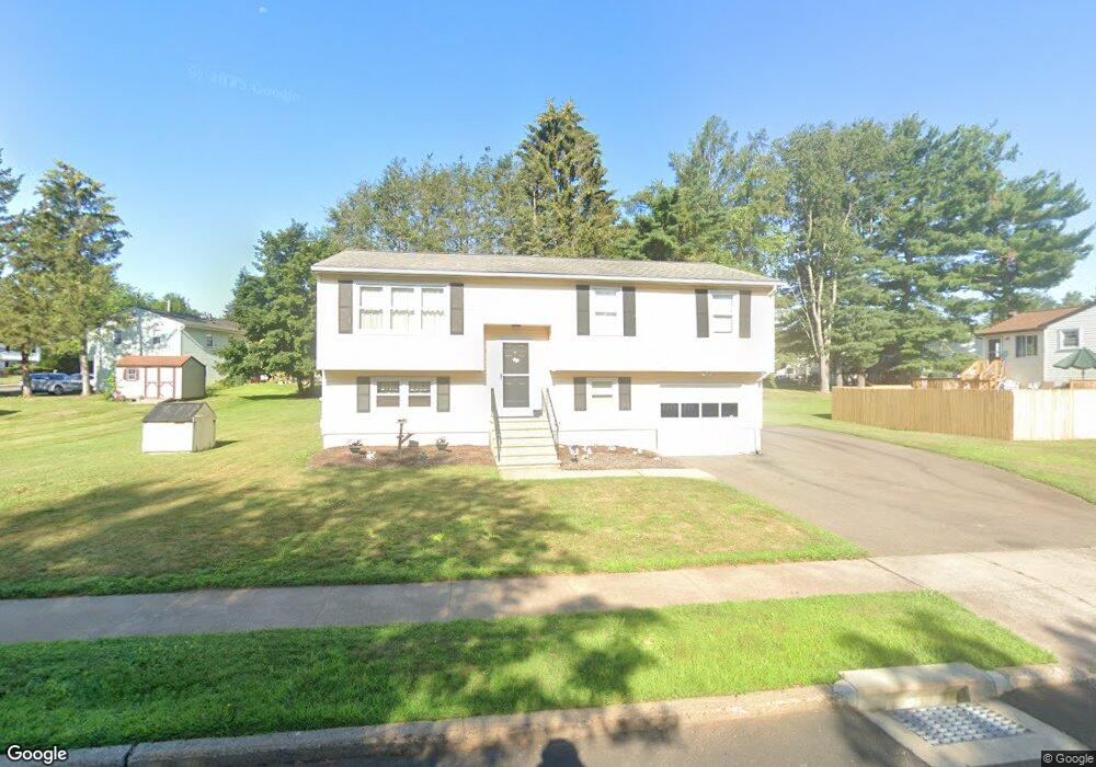
157 Cartpath Dr Meriden, CT 06450
Estimated Value: $379,000 - $429,000
3
Beds
2
Baths
1,776
Sq Ft
$221/Sq Ft
Est. Value
About This Home
This home is located at 157 Cartpath Dr, Meriden, CT 06450 and is currently estimated at $391,977, approximately $220 per square foot. 157 Cartpath Dr is a home located in New Haven County with nearby schools including Thomas Hooker School, Washington Middle School, and Francis T. Maloney High School.
Ownership History
Date
Name
Owned For
Owner Type
Purchase Details
Closed on
Apr 23, 1981
Bought by
Hall Leon C and Hall Joanne R
Current Estimated Value
Create a Home Valuation Report for This Property
The Home Valuation Report is an in-depth analysis detailing your home's value as well as a comparison with similar homes in the area
Home Values in the Area
Average Home Value in this Area
Purchase History
| Date | Buyer | Sale Price | Title Company |
|---|---|---|---|
| Hall Leon C | -- | -- |
Source: Public Records
Mortgage History
| Date | Status | Borrower | Loan Amount |
|---|---|---|---|
| Closed | Hall Leon C | $25,000 |
Source: Public Records
Tax History Compared to Growth
Tax History
| Year | Tax Paid | Tax Assessment Tax Assessment Total Assessment is a certain percentage of the fair market value that is determined by local assessors to be the total taxable value of land and additions on the property. | Land | Improvement |
|---|---|---|---|---|
| 2025 | $6,636 | $165,480 | $62,720 | $102,760 |
| 2024 | $6,009 | $165,480 | $62,720 | $102,760 |
| 2023 | $5,757 | $165,480 | $62,720 | $102,760 |
| 2022 | $5,459 | $165,480 | $62,720 | $102,760 |
| 2021 | $5,260 | $128,730 | $49,560 | $79,170 |
| 2020 | $5,260 | $128,730 | $49,560 | $79,170 |
| 2019 | $5,260 | $128,730 | $49,560 | $79,170 |
| 2018 | $5,283 | $128,730 | $49,560 | $79,170 |
| 2017 | $5,139 | $128,730 | $49,560 | $79,170 |
| 2016 | $5,023 | $137,130 | $52,220 | $84,910 |
| 2015 | $5,023 | $137,130 | $52,220 | $84,910 |
| 2014 | $4,901 | $137,130 | $52,220 | $84,910 |
Source: Public Records
Map
Nearby Homes
- 29 Eagle Ct
- 533 Paddock Ave
- 85 Elmwood Dr
- 361 Pomeroy Ave
- 156 Cardinal Dr
- 123 Pembroke Ct Unit 123
- 85 Milici Cir
- 121 Evergreen Ln
- 78 Kennedy Dr
- 67 Royal Oak Cir
- 136 Sterling Village Unit 136
- 31 Carriage Dr
- 142 Thorpe Ave
- 147 Pinehurst Dr
- 10 Abbey Ln Unit 10
- 1280 E Main St
- 47 Margerie St
- 1274 E Main St Unit D27
- 195 Scott St
- 560 Yale Ave Unit 5