157 Range View Dr Bailey, CO 80421
Estimated Value: $584,000 - $751,000
4
Beds
2
Baths
1,836
Sq Ft
$351/Sq Ft
Est. Value
About This Home
This home is located at 157 Range View Dr, Bailey, CO 80421 and is currently estimated at $644,470, approximately $351 per square foot. 157 Range View Dr is a home located in Park County with nearby schools including Deer Creek Elementary School, Fitzsimmons Middle School, and Platte Canyon High School.
Ownership History
Date
Name
Owned For
Owner Type
Purchase Details
Closed on
Jan 11, 2014
Sold by
Berger W Bart
Bought by
Townsend Angela
Current Estimated Value
Purchase Details
Closed on
Jul 10, 2013
Sold by
Borst Woody M and Borst Marcy M
Bought by
Borst Marcy M
Home Financials for this Owner
Home Financials are based on the most recent Mortgage that was taken out on this home.
Original Mortgage
$249,962
Interest Rate
4.49%
Mortgage Type
New Conventional
Create a Home Valuation Report for This Property
The Home Valuation Report is an in-depth analysis detailing your home's value as well as a comparison with similar homes in the area
Home Values in the Area
Average Home Value in this Area
Purchase History
| Date | Buyer | Sale Price | Title Company |
|---|---|---|---|
| Townsend Angela | -- | None Available | |
| Borst Marcy M | -- | None Available |
Source: Public Records
Mortgage History
| Date | Status | Borrower | Loan Amount |
|---|---|---|---|
| Previous Owner | Borst Marcy M | $249,962 |
Source: Public Records
Tax History
| Year | Tax Paid | Tax Assessment Tax Assessment Total Assessment is a certain percentage of the fair market value that is determined by local assessors to be the total taxable value of land and additions on the property. | Land | Improvement |
|---|---|---|---|---|
| 2025 | $2,351 | $37,790 | $3,620 | $34,170 |
| 2024 | $2,267 | $39,490 | $3,580 | $35,910 |
| 2023 | $2,267 | $39,490 | $3,580 | $35,910 |
| 2022 | $2,203 | $36,037 | $2,746 | $33,291 |
| 2021 | $2,195 | $37,080 | $2,830 | $34,250 |
| 2020 | $1,992 | $32,300 | $2,670 | $29,630 |
| 2019 | $1,914 | $32,300 | $2,670 | $29,630 |
| 2018 | $1,547 | $32,300 | $2,670 | $29,630 |
| 2017 | $1,544 | $26,730 | $2,360 | $24,370 |
| 2016 | $1,405 | $24,200 | $3,050 | $21,150 |
| 2015 | $1,420 | $24,200 | $3,050 | $21,150 |
| 2014 | $1,186 | $0 | $0 | $0 |
Source: Public Records
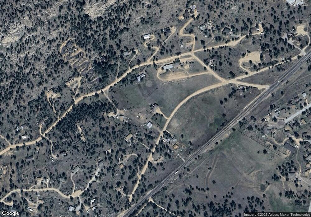
Map
Nearby Homes
- 121 Sunlight Ln
- 279 Wisp Creek Dr
- 212 Wisp Creek Dr
- 38 Buttermilk Ln
- 65 Silver Springs Rd
- 987 Wisp Creek Dr
- 1077 Roland Dr
- 0 Hwy 285 Unit 6681598
- 34697 Silver Springs Blvd
- 229 Mohawk Trail
- 34431 Chilton Ave
- 663 Brookside Dr
- 13851 Pine Valley Rd
- 114 Star Ln
- 303 Kudu Trail
- 1819 Nova Rd Unit 4
- 34657 Mohawk Trail
- 14803 S Wandcrest Dr
- 2565 S Nova Rd
- 33958 Running Bear Trail
- 158 Range View Dr
- 804 Rim Rock Rd
- 696 Rim Rock Rd
- 177 Range View Dr
- 807 Rim Rock Rd
- 209 Range View Dr
- 741 Rim Rock Rd
- 811 Rim Rock Rd
- 897 Rim Rock Rd
- 983 Rim Rock Rd
- 237 Panorama Dr
- 1020 Rim Rock Rd
- 673 Rim Rock Rd
- 241 Range View Dr
- 57 Elk Ln
- 602 Rim Rock Rd
- 901 Rim Rock Rd Unit 1
- 207 Panorama Dr
- 83 Elk Ln
- 627 Rim Rock Rd
Your Personal Tour Guide
Ask me questions while you tour the home.