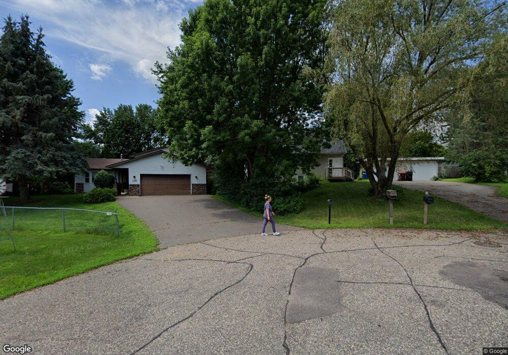
1570 Sandhurst Dr E Saint Paul, MN 55109
Sherwood Glen NeighborhoodEstimated Value: $278,000 - $330,000
3
Beds
2
Baths
2,050
Sq Ft
$148/Sq Ft
Est. Value
About This Home
This home is located at 1570 Sandhurst Dr E, Saint Paul, MN 55109 and is currently estimated at $303,990, approximately $148 per square foot. 1570 Sandhurst Dr E is a home located in Ramsey County with nearby schools including Weaver Elementary School, John Glenn Middle School, and Mounds Park Academy.
Ownership History
Date
Name
Owned For
Owner Type
Purchase Details
Closed on
Oct 20, 2021
Sold by
Sullivan Jerri
Bought by
Kenyi Abiyo
Current Estimated Value
Home Financials for this Owner
Home Financials are based on the most recent Mortgage that was taken out on this home.
Original Mortgage
$227,700
Outstanding Balance
$207,641
Interest Rate
2.8%
Mortgage Type
New Conventional
Estimated Equity
$96,349
Create a Home Valuation Report for This Property
The Home Valuation Report is an in-depth analysis detailing your home's value as well as a comparison with similar homes in the area
Home Values in the Area
Average Home Value in this Area
Purchase History
| Date | Buyer | Sale Price | Title Company |
|---|---|---|---|
| Kenyi Abiyo | $230,000 | Results Title |
Source: Public Records
Mortgage History
| Date | Status | Borrower | Loan Amount |
|---|---|---|---|
| Open | Kenyi Abiyo | $227,700 |
Source: Public Records
Tax History
| Year | Tax Paid | Tax Assessment Tax Assessment Total Assessment is a certain percentage of the fair market value that is determined by local assessors to be the total taxable value of land and additions on the property. | Land | Improvement |
|---|---|---|---|---|
| 2025 | $3,490 | $293,100 | $74,100 | $219,000 |
| 2023 | $3,490 | $257,000 | $74,100 | $182,900 |
| 2022 | $3,642 | $262,400 | $74,100 | $188,300 |
| 2021 | $3,200 | $254,800 | $74,100 | $180,700 |
| 2020 | $3,344 | $231,800 | $74,100 | $157,700 |
| 2019 | $2,578 | $226,300 | $74,100 | $152,200 |
| 2018 | $2,668 | $183,600 | $74,100 | $109,500 |
| 2017 | $2,822 | $184,400 | $74,100 | $110,300 |
| 2016 | $2,820 | $0 | $0 | $0 |
| 2015 | $2,498 | $185,900 | $68,000 | $117,900 |
| 2014 | $2,088 | $0 | $0 | $0 |
Source: Public Records
Map
Nearby Homes
- 1442 Sandhurst Ave E
- 1705 Lark Ave
- 1515 Viking Dr E
- 1579 Grandview Ave E
- 1984 Prosperity Rd
- 1481 Sextant Ave E
- 1290 Belmont Ln E
- 2022 English St
- 1261 Skillman Ave E
- 1855 Birmingham St
- 1856 Flandrau St
- 2567 Clarence St
- 1764 Maryknoll Ave
- 2212 Ariel St N
- 1743 White Bear Ave N
- 1764 English St
- 1995 11th Ave E Unit 2
- 1995 11th Ave E Unit 1
- 1740 English St
- 1709 White Bear Ave N
- 1560 Sandhurst Dr E
- 2186 Hazelwood St
- 1569 Sandhurst Dr E
- 2194 Hazelwood St
- 2180 Hazelwood St
- 2202 Hazelwood St
- 1575 Sandhurst Dr E
- 1575 Sandhurst Ave E
- 1576 Sandhurst Dr E
- 1557 County Road B E
- 1565 County Road B E
- 1546 Laurie Rd E
- 1581 Sandhurst Dr E
- 1547 County Road B E
- 2210 Hazelwood St
- 1575 County Road B E
- 1534 Sandhurst Dr E
- 1586 Sandhurst Dr E
- 1586 Sandhurst Ave E
- 1587 Sandhurst Dr E
Your Personal Tour Guide
Ask me questions while you tour the home.