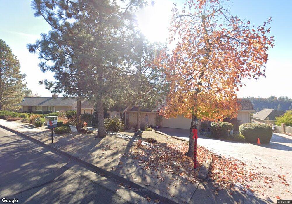
1572 Barrett Dr Placerville, CA 95667
Estimated Value: $587,000 - $696,127
2
Beds
2
Baths
2,636
Sq Ft
$251/Sq Ft
Est. Value
About This Home
This home is located at 1572 Barrett Dr, Placerville, CA 95667 and is currently estimated at $661,532, approximately $250 per square foot. 1572 Barrett Dr is a home located in El Dorado County with nearby schools including El Dorado High School and El Dorado Adventist School.
Ownership History
Date
Name
Owned For
Owner Type
Purchase Details
Closed on
Mar 23, 2020
Sold by
Perpall Russell
Bought by
Perpall Russell and Perpall Suzette
Current Estimated Value
Purchase Details
Closed on
Aug 26, 1993
Sold by
Perpall Russell
Bought by
Perpall Russell
Home Financials for this Owner
Home Financials are based on the most recent Mortgage that was taken out on this home.
Original Mortgage
$44,000
Interest Rate
7.25%
Create a Home Valuation Report for This Property
The Home Valuation Report is an in-depth analysis detailing your home's value as well as a comparison with similar homes in the area
Home Values in the Area
Average Home Value in this Area
Purchase History
| Date | Buyer | Sale Price | Title Company |
|---|---|---|---|
| Perpall Russell | -- | None Available | |
| Perpall Russell | -- | Inter County Title Co |
Source: Public Records
Mortgage History
| Date | Status | Borrower | Loan Amount |
|---|---|---|---|
| Closed | Perpall Russell | $44,000 |
Source: Public Records
Tax History
| Year | Tax Paid | Tax Assessment Tax Assessment Total Assessment is a certain percentage of the fair market value that is determined by local assessors to be the total taxable value of land and additions on the property. | Land | Improvement |
|---|---|---|---|---|
| 2025 | $2,726 | $268,676 | $36,929 | $231,747 |
| 2024 | $2,726 | $263,408 | $36,205 | $227,203 |
| 2023 | $2,693 | $258,245 | $35,496 | $222,749 |
| 2022 | $2,654 | $253,182 | $34,800 | $218,382 |
| 2021 | $2,622 | $248,218 | $34,118 | $214,100 |
| 2020 | $2,583 | $245,674 | $33,769 | $211,905 |
| 2019 | $2,550 | $240,857 | $33,107 | $207,750 |
| 2018 | $2,471 | $236,135 | $32,458 | $203,677 |
| 2017 | $2,433 | $231,506 | $31,822 | $199,684 |
| 2016 | $2,393 | $226,968 | $31,199 | $195,769 |
| 2015 | $2,282 | $223,560 | $30,731 | $192,829 |
| 2014 | $2,282 | $219,182 | $30,130 | $189,052 |
Source: Public Records
Map
Nearby Homes
- 3550 Eskaton Dr
- 1764 Country Club Dr
- 1302 Nicks Ln
- 3930 Cedar Ravine Rd
- 1720 Jacobs Way
- 1030 Lemongrass Ct
- 1818 Smith Flat Rd
- 2500 N View Ln
- 3353 Airport Rd
- 3237 Francis Ave
- 2977 Mosquito Rd
- 3166 Cedar Ravine Rd
- 678 Main St
- 3095 Cedar Ravine Rd
- 946 Bartlett Ave
- 949 Bliss Ct
- 2970 Texas Hill Rd
- 2660 Clay St
- 2940 Anderson Way
- 2921 Miller Way
- 1562 Barrett Dr
- 1582 Barrett Dr
- 1583 Barrett Dr
- 1569 Barrett Dr
- 1591 Barrett Dr
- 1552 Barrett Dr
- 1555 Barrett Dr
- 1598 Barrett Dr
- 1599 Barrett Dr
- 1677 Covey Dr
- 1540 Barrett Dr
- 1571 Sean Dr
- 1565 Sean Dr
- 1604 Barrett Dr
- 1579 Sean Dr
- 1605 Barrett Dr
- 1684 Covey Dr
- 1555 Sean Dr
- 1539 Barrett Dr
- 1587 Sean Dr
Your Personal Tour Guide
Ask me questions while you tour the home.