1572 Hummingbird St Unit 402 Shakopee, MN 55379
Estimated Value: $256,231 - $267,000
2
Beds
2
Baths
1,422
Sq Ft
$185/Sq Ft
Est. Value
About This Home
This home is located at 1572 Hummingbird St Unit 402, Shakopee, MN 55379 and is currently estimated at $262,558, approximately $184 per square foot. 1572 Hummingbird St Unit 402 is a home located in Scott County with nearby schools including Sun Path Elementary School, Shakopee West Middle School, and Shakopee Senior High School.
Ownership History
Date
Name
Owned For
Owner Type
Purchase Details
Closed on
Nov 25, 2009
Sold by
Stover Julie T
Bought by
Larson Krista K
Current Estimated Value
Purchase Details
Closed on
Sep 16, 1999
Sold by
Centex Homes Minnesota Division
Bought by
Stover Julie T
Create a Home Valuation Report for This Property
The Home Valuation Report is an in-depth analysis detailing your home's value as well as a comparison with similar homes in the area
Home Values in the Area
Average Home Value in this Area
Purchase History
| Date | Buyer | Sale Price | Title Company |
|---|---|---|---|
| Larson Krista K | $142,500 | -- | |
| Stover Julie T | $116,510 | -- |
Source: Public Records
Tax History Compared to Growth
Tax History
| Year | Tax Paid | Tax Assessment Tax Assessment Total Assessment is a certain percentage of the fair market value that is determined by local assessors to be the total taxable value of land and additions on the property. | Land | Improvement |
|---|---|---|---|---|
| 2025 | $2,206 | $240,200 | $68,500 | $171,700 |
| 2024 | $2,286 | $229,200 | $65,200 | $164,000 |
| 2023 | $2,352 | $225,800 | $63,900 | $161,900 |
| 2022 | $2,258 | $228,400 | $65,500 | $162,900 |
| 2021 | $1,936 | $192,200 | $51,300 | $140,900 |
| 2020 | $2,080 | $183,700 | $42,000 | $141,700 |
| 2019 | $1,950 | $175,100 | $40,000 | $135,100 |
| 2018 | $1,782 | $0 | $0 | $0 |
| 2016 | $1,752 | $0 | $0 | $0 |
| 2014 | -- | $0 | $0 | $0 |
Source: Public Records
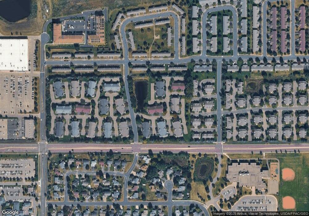
Map
Nearby Homes
- 1552 Dublin Ct
- 1844 Mockingbird Ave Unit 1102
- 1820 Mockingbird Ave
- 2471 Tyrone Dr
- 2447 Tyrone Dr
- 2399 Tyrone Dr
- 2263 Tyrone Dr
- 1511 England Way
- 2388 Vierling Dr E
- 2006 Tyrone Dr
- 1624 Philipp Way
- Lewis Plan at Summerland Place - Landmark Collection
- 2795 Downing Ave
- Vanderbilt Plan at Summerland Place - Landmark Collection
- Sinclair Plan at Summerland Place - Landmark Collection
- 2804 Trinity Dr
- Nokomis Plan at Summerland Place - The Tradition Collection
- Gregorian Plan at Summerland Place - The Tradition Collection
- 1542 Philipp Way
- Pryor Plan at Summerland Place - The Tradition Collection
- 1572 Hummingbird St
- 2031 Mockingbird Ave
- 1568 Hummingbird St Unit 401
- 1576 Hummingbird St
- 2027 Mockingbird Ave
- 2041 Mockingbird Ave
- 1580 Hummingbird St
- 2045 Mockingbird Ave Unit 405
- 1544 Hummingbird St Unit 601
- 1528 Hummingbird St
- 2034 Mockingbird Ave Unit 204
- 2018 Mockingbird Ave
- 2018 Mockingbird Ave Unit 105
- 1540 Hummingbird St Unit 601
- 2050 Mockingbird Ave Unit 205
- 1524 Hummingbird St
- 1579 Hummingbird St Unit 502
- 1583 Hummingbird St
- 1575 Hummingbird St
- 2022 Mockingbird Ave Unit 106