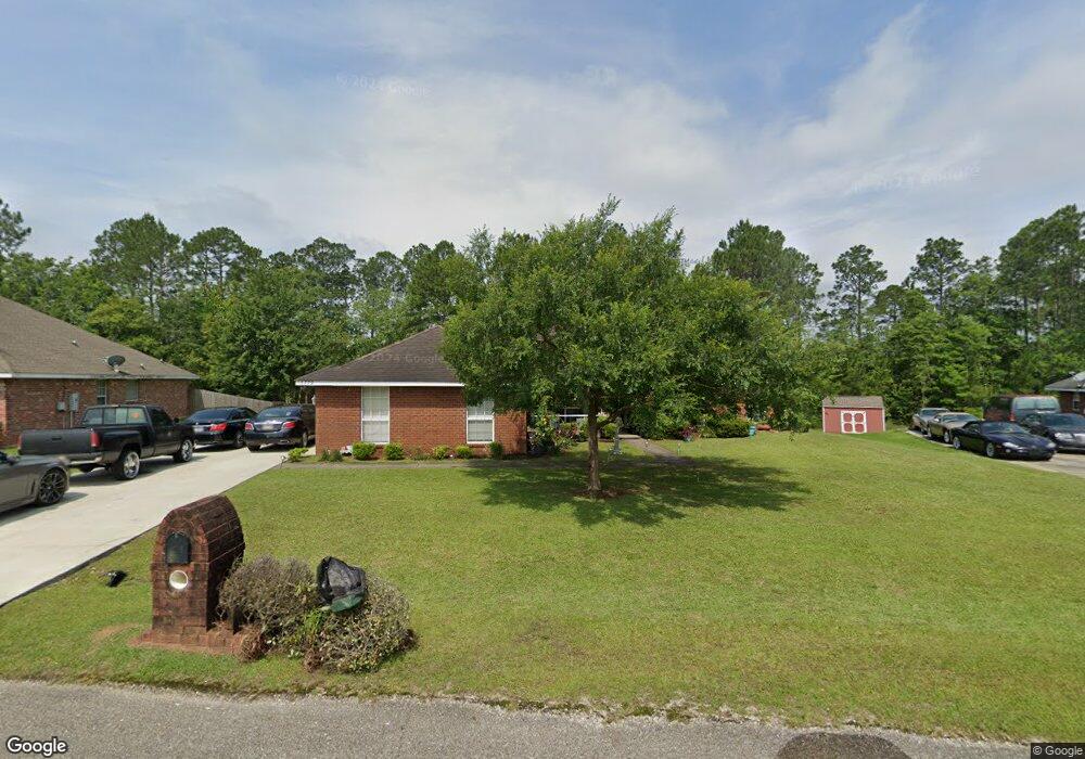
15779 S Fork Rd Gulfport, MS 39503
Lyman NeighborhoodEstimated Value: $281,000 - $320,000
--
Bed
--
Bath
2,837
Sq Ft
$105/Sq Ft
Est. Value
About This Home
This home is located at 15779 S Fork Rd, Gulfport, MS 39503 and is currently estimated at $297,373, approximately $104 per square foot. 15779 S Fork Rd is a home located in Harrison County with nearby schools including Lyman Elementary School and Harrison Central High School.
Ownership History
Date
Name
Owned For
Owner Type
Purchase Details
Closed on
May 20, 2021
Sold by
John W Jones Revocable Trust and Frances E Jones Revocable Trust
Bought by
Barrientos Salome J and Barrientos Traci L
Current Estimated Value
Purchase Details
Closed on
Dec 1, 2006
Sold by
Morris Levone and Morris Audrey D
Bought by
Jones John and Jones Shenee
Home Financials for this Owner
Home Financials are based on the most recent Mortgage that was taken out on this home.
Original Mortgage
$41,100
Interest Rate
6.29%
Create a Home Valuation Report for This Property
The Home Valuation Report is an in-depth analysis detailing your home's value as well as a comparison with similar homes in the area
Home Values in the Area
Average Home Value in this Area
Purchase History
| Date | Buyer | Sale Price | Title Company |
|---|---|---|---|
| Barrientos Salome J | -- | None Listed On Document | |
| Jones John | -- | -- |
Source: Public Records
Mortgage History
| Date | Status | Borrower | Loan Amount |
|---|---|---|---|
| Previous Owner | Jones John | $41,100 |
Source: Public Records
Tax History Compared to Growth
Tax History
| Year | Tax Paid | Tax Assessment Tax Assessment Total Assessment is a certain percentage of the fair market value that is determined by local assessors to be the total taxable value of land and additions on the property. | Land | Improvement |
|---|---|---|---|---|
| 2024 | $1,226 | $16,197 | $0 | $0 |
| 2023 | $1,235 | $16,197 | $0 | $0 |
| 2022 | $1,246 | $16,182 | $0 | $0 |
| 2021 | $1,252 | $16,182 | $0 | $0 |
| 2020 | $1,234 | $15,360 | $0 | $0 |
| 2019 | $1,245 | $15,360 | $0 | $0 |
| 2018 | $1,252 | $15,360 | $0 | $0 |
| 2017 | $1,251 | $15,360 | $0 | $0 |
| 2015 | $1,233 | $15,014 | $0 | $0 |
| 2014 | -- | $13,014 | $0 | $0 |
| 2013 | -- | $15,014 | $2,000 | $13,014 |
Source: Public Records
Map
Nearby Homes
- 15106 High Point Dr
- 15076 High Point Dr
- 15134 High Point Dr
- 15070 High Point Dr
- 15092 High Point Dr
- 15192 High Point Dr
- 15100 High Point Dr
- 15227 High Point Dr
- 15071 High Point Dr
- 15235 High Point Dr
- 15221 High Point Dr
- 15222 High Point Dr
- 15264 High Point Dr
- 15299 Walter Smith Rd
- 15654 Walter Smith Rd
- 15023 Stockridge Dr
- 15013 Stockridge Dr
- 0 Highway 49 Unit 4098308
- 0 Highway 49 Unit 4043063
- 15320 Walter Smith Rd
- 15779 S Fork Dr
- 15771 S Fork Rd
- 15785 S Fork Dr
- 15785 S Fork Rd
- 15765 S Fork Rd
- 15765 S Fork Dr
- 15795 S Fork Rd
- 15768 S Fork Rd
- 15778 S Fork Rd
- 15798 S Fork Rd
- 15757 S Fork Rd
- 15805 S Fork Rd
- 15758 S Fork Rd
- 15808 S Fork Dr
- 15751 S Fork Rd
- 15808 S Fork Rd
- 15385 Vick Rd
- 15742 S Fork Rd
- 15359 Vick Rd
- 15371 Vick Rd