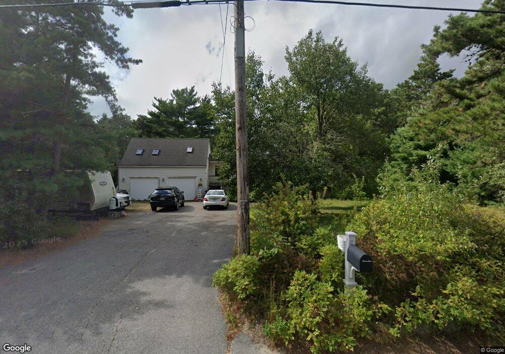
158 Charge Pond Rd Wareham, MA 02571
Estimated Value: $460,000 - $502,875
3
Beds
1
Bath
1,132
Sq Ft
$423/Sq Ft
Est. Value
About This Home
This home is located at 158 Charge Pond Rd, Wareham, MA 02571 and is currently estimated at $478,969, approximately $423 per square foot. 158 Charge Pond Rd is a home.
Ownership History
Date
Name
Owned For
Owner Type
Purchase Details
Closed on
May 1, 1996
Sold by
Lima Reinaldo R and Lima Juanita B
Bought by
Kelley John E and Kelley Dawn L
Current Estimated Value
Purchase Details
Closed on
Nov 3, 1988
Sold by
R F C Rlty Corp
Bought by
Lima Reinaldo
Create a Home Valuation Report for This Property
The Home Valuation Report is an in-depth analysis detailing your home's value as well as a comparison with similar homes in the area
Home Values in the Area
Average Home Value in this Area
Purchase History
| Date | Buyer | Sale Price | Title Company |
|---|---|---|---|
| Kelley John E | $114,000 | -- | |
| Kelley John E | $114,000 | -- | |
| Lima Reinaldo | $147,900 | -- |
Source: Public Records
Mortgage History
| Date | Status | Borrower | Loan Amount |
|---|---|---|---|
| Open | Lima Reinaldo | $50,000 | |
| Open | Lima Reinaldo | $210,000 |
Source: Public Records
Tax History Compared to Growth
Tax History
| Year | Tax Paid | Tax Assessment Tax Assessment Total Assessment is a certain percentage of the fair market value that is determined by local assessors to be the total taxable value of land and additions on the property. | Land | Improvement |
|---|---|---|---|---|
| 2025 | $4,204 | $403,500 | $127,600 | $275,900 |
| 2024 | $4,237 | $377,300 | $102,300 | $275,000 |
| 2023 | $3,767 | $333,700 | $93,100 | $240,600 |
| 2022 | $3,767 | $285,800 | $93,100 | $192,700 |
| 2021 | $3,622 | $269,300 | $93,100 | $176,200 |
| 2020 | $3,571 | $269,300 | $93,100 | $176,200 |
| 2019 | $3,437 | $258,600 | $98,400 | $160,200 |
| 2018 | $3,424 | $251,200 | $98,400 | $152,800 |
| 2017 | $3,141 | $233,500 | $98,400 | $135,100 |
| 2016 | $3,105 | $229,500 | $103,200 | $126,300 |
| 2015 | $2,729 | $208,800 | $103,200 | $105,600 |
| 2014 | $2,977 | $231,700 | $98,200 | $133,500 |
Source: Public Records
Map
Nearby Homes
- 6 Back St
- 6 Sloop Ln
- 24 Kimberly Ct
- 308 Charge Pond Rd
- 81 Maple Springs Rd
- 2731 Cranberry Hwy
- 17 Pond Edge Trail
- 2783 Cranberry Hwy
- 125 Jeffreys Path
- 6 Gilbert Way
- 6 Agawam Dr
- 2596 Cranberry Hwy
- 3 Michael Dr
- 25 Lakeview Dr
- 2 Pine Lake Dr
- 37 Pine Lake Dr
- 12 Linwood Ave
- 2838 Cranberry Hwy
- 50 Avenue A St
- 110 Mayflower Ridge Dr
- 152 Charge Pond Rd
- 168 Charge Pond Rd
- 146 Charge Pond Rd
- 164 Charge Pond Rd
- 140 Charge Pond Rd
- 0 Charge Pond Rd
- 10 Charge Pond Rd
- 136 Charge Pond Rd
- 132 Charge Pond Rd
- 172 Charge Pond Rd
- 130 Charge Pond Rd
- 200 Charge Pond Rd
- 203 Charge Pond Rd
- 202 Charge Pond Rd
- 128 Charge Pond Rd
- 205 Charge Pond Rd
- 204 Charge Pond Rd
- 126 Charge Pond Rd
- 206 Charge Pond Rd
- 207 Charge Pond Rd