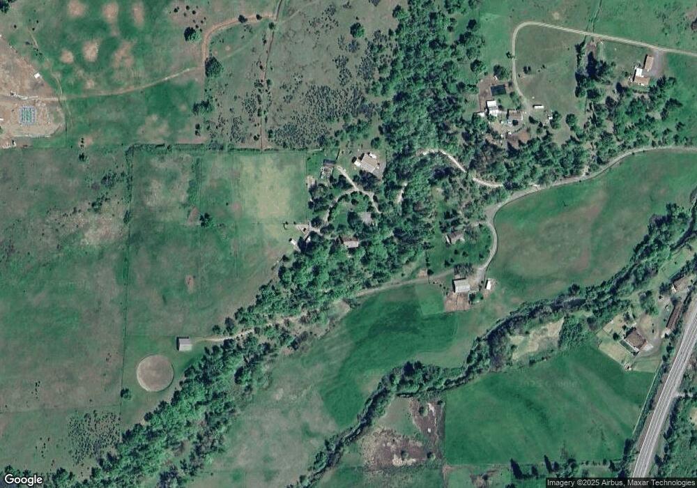
15909 Highway 62 Eagle Point, OR 97524
Estimated Value: $693,017 - $962,000
4
Beds
2
Baths
1,706
Sq Ft
$462/Sq Ft
Est. Value
About This Home
This home is located at 15909 Highway 62, Eagle Point, OR 97524 and is currently estimated at $788,672, approximately $462 per square foot. 15909 Highway 62 is a home located in Jackson County with nearby schools including Eagle Point Middle School, White Mountain Middle School, and Eagle Point High School.
Ownership History
Date
Name
Owned For
Owner Type
Purchase Details
Closed on
Apr 21, 2021
Sold by
Yury Kronn Living Trust and Brown Ken
Bought by
Cahalan Katherine Lou
Current Estimated Value
Purchase Details
Closed on
Apr 12, 2004
Sold by
Marshall Kenneth J and Marshall Pamela G
Bought by
Kronn Yury and Kronn Constance
Home Financials for this Owner
Home Financials are based on the most recent Mortgage that was taken out on this home.
Original Mortgage
$470,400
Interest Rate
5.57%
Mortgage Type
Purchase Money Mortgage
Purchase Details
Closed on
Apr 7, 2004
Sold by
Boutacoff Alexis A and Boutacoff Linda C
Bought by
Marshall Kenneth J and Marshall Pamela G
Home Financials for this Owner
Home Financials are based on the most recent Mortgage that was taken out on this home.
Original Mortgage
$470,400
Interest Rate
5.57%
Mortgage Type
Purchase Money Mortgage
Create a Home Valuation Report for This Property
The Home Valuation Report is an in-depth analysis detailing your home's value as well as a comparison with similar homes in the area
Home Values in the Area
Average Home Value in this Area
Purchase History
| Date | Buyer | Sale Price | Title Company |
|---|---|---|---|
| Cahalan Katherine Lou | -- | Ticor Title | |
| Kronn Yury | $588,000 | Lawyers Title Ins | |
| Marshall Kenneth J | -- | Lawyers Title Ins |
Source: Public Records
Mortgage History
| Date | Status | Borrower | Loan Amount |
|---|---|---|---|
| Previous Owner | Kronn Yury | $470,400 | |
| Closed | Kronn Yury | $58,800 |
Source: Public Records
Tax History Compared to Growth
Tax History
| Year | Tax Paid | Tax Assessment Tax Assessment Total Assessment is a certain percentage of the fair market value that is determined by local assessors to be the total taxable value of land and additions on the property. | Land | Improvement |
|---|---|---|---|---|
| 2025 | $4,894 | $431,480 | $41,060 | $390,420 |
| 2024 | $4,894 | $418,920 | $39,870 | $379,050 |
| 2023 | $4,725 | $406,720 | $38,700 | $368,020 |
| 2022 | $4,533 | $406,720 | $38,700 | $368,020 |
| 2021 | $4,399 | $394,880 | $37,570 | $357,310 |
| 2020 | $4,763 | $383,380 | $36,470 | $346,910 |
| 2019 | $4,704 | $361,380 | $34,380 | $327,000 |
| 2018 | $4,595 | $350,860 | $33,380 | $317,480 |
| 2017 | $4,179 | $350,860 | $33,380 | $317,480 |
| 2016 | $4,038 | $330,730 | $31,460 | $299,270 |
| 2015 | $3,895 | $330,730 | $31,460 | $299,270 |
| 2014 | $3,761 | $311,750 | $29,650 | $282,100 |
Source: Public Records
Map
Nearby Homes
- 151 Hammel Rd
- 15050 Hwy 62
- 4234 Reese Creek Rd
- 1305 Butte Falls Hwy
- 1399 Oregon 234
- 800 Hillandale Cir
- 349 Capri Dr
- 14145 Agate Rd
- 60 Wedgewood Dr
- 175 Wedgewood Dr
- 506 Greenleaf Dr
- 771 Ironwood Dr
- 0 Greenleaf Dr Unit 526832725
- 510 Chateau Dr
- 5512 Rogue River Dr
- 13334 Modoc Rd
- 3840 Beagle Rd
- 3399 Dodge Rd
- 1560 Brentwood Dr
- 4071 Winnetka Rd
- 15909 Oregon 62
- 16005 Highway 62
- 16005 Oregon 62
- 15875 Highway 62
- 15875 Highway 62
- 15665 Highway 62
- 15641 Highway 62
- 15641 Highway 62
- 16171 Oregon 62
- 123 Stanley Rd
- 63 Staley Rd
- 15615 Highway 62
- 15800 Highway 62
- 15465 Highway 62
- 50 Butte Falls Hwy
- 16117 Highway 62
- 0 Oregon 62
- 16211 Highway 62
- 15551 Highway 62
- 123 Staley Rd
