16 Apache Trail Malvern, OH 44644
Estimated Value: $354,368 - $480,000
3
Beds
3
Baths
2,124
Sq Ft
$190/Sq Ft
Est. Value
About This Home
This home is located at 16 Apache Trail, Malvern, OH 44644 and is currently estimated at $403,842, approximately $190 per square foot. 16 Apache Trail is a home located in Carroll County with nearby schools including Malvern Elementary School, Malvern Middle School, and Malvern High School.
Ownership History
Date
Name
Owned For
Owner Type
Purchase Details
Closed on
Mar 23, 2021
Sold by
Oldack Michael C and Oldack Terri D
Bought by
Michael C Oldack And Terri D Oldack Revocable
Current Estimated Value
Create a Home Valuation Report for This Property
The Home Valuation Report is an in-depth analysis detailing your home's value as well as a comparison with similar homes in the area
Purchase History
| Date | Buyer | Sale Price | Title Company |
|---|---|---|---|
| Michael C Oldack And Terri D Oldack Revocable | -- | None Listed On Document |
Source: Public Records
Tax History
| Year | Tax Paid | Tax Assessment Tax Assessment Total Assessment is a certain percentage of the fair market value that is determined by local assessors to be the total taxable value of land and additions on the property. | Land | Improvement |
|---|---|---|---|---|
| 2024 | $3,710 | $82,470 | $8,340 | $74,130 |
| 2023 | $3,692 | $82,470 | $8,340 | $74,130 |
| 2022 | $3,674 | $68,450 | $6,930 | $61,520 |
| 2021 | $3,078 | $68,450 | $6,930 | $61,520 |
| 2020 | $3,080 | $68,450 | $6,930 | $61,520 |
| 2019 | $3,231 | $68,450 | $6,934 | $61,516 |
| 2018 | $2,892 | $60,050 | $4,540 | $55,510 |
| 2017 | $2,893 | $60,050 | $4,540 | $55,510 |
| 2016 | $2,838 | $55,140 | $4,170 | $50,970 |
| 2015 | $2,569 | $55,140 | $4,170 | $50,970 |
| 2014 | $2,643 | $55,140 | $4,170 | $50,970 |
| 2013 | $2,627 | $55,140 | $4,170 | $50,970 |
Source: Public Records
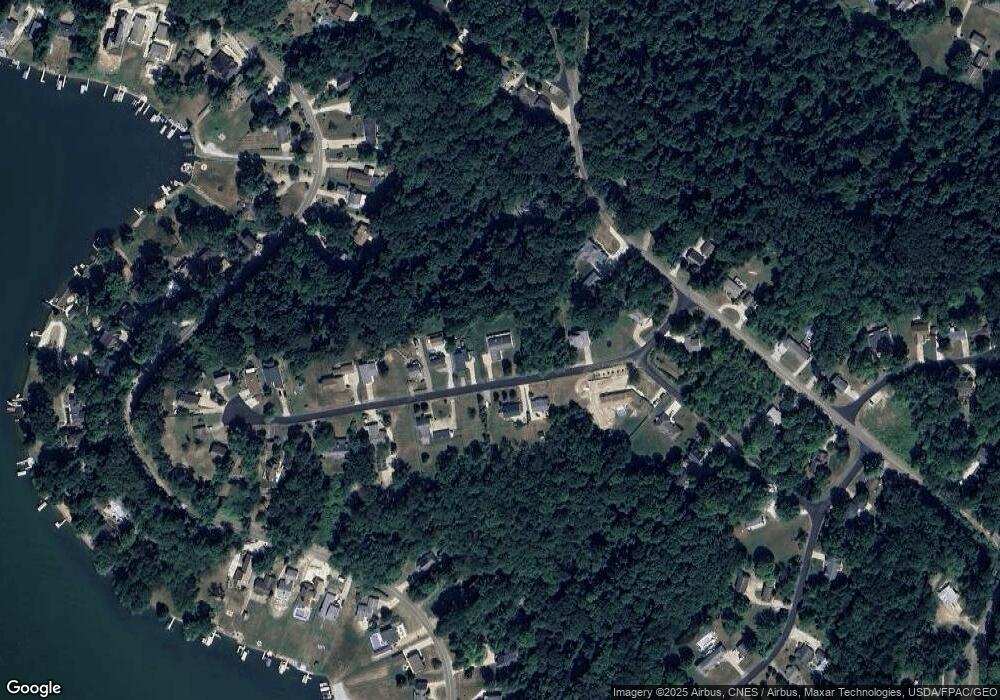
Map
Nearby Homes
- 4133 Lace Rd NW Unit 29
- 382 E Mohawk Dr
- 154 W Mohawk Dr
- 254 W Mohawk Dr
- 0 Oneida Trail
- 34 Iroquois Trail
- 490 E Mohawk Dr
- 91 Oneida Trail
- 22 Ontario Trail
- 15 Ontario Trail
- 6 Latonka Trail
- 546 E Mohawk Dr
- 27 Delaware Trail
- 5 Choctaw Trail
- 7 Choctaw Trail
- 4187 Avalon Rd NW
- 405 Gween Dr
- 633 Wilson St
- 509 Wilson St
- 8026 Lee Rd NW
- 18 Apache Trail
- 567 568 Apache Trail
- 20 Apache Trail
- 22 Apache Trail
- 15 Apache Trail
- 8 Apache Trail
- 23 Apache Trail
- 26 Apache Trail
- 238 E Mohawk Dr
- 25 Apache Trail
- 30 Apache Trail
- 232 E Mohawk Dr
- 27 Apache Trail
- 560 Pawnee Trail
- 4 Apache Trail
- 2 Pawnee Trail
- Lots 611 & 612 E Mohawk Dr
- Lot 652 E Mohawk Dr
- 470 E Mohawk Dr
- 155 Cheyenne Trail
Your Personal Tour Guide
Ask me questions while you tour the home.