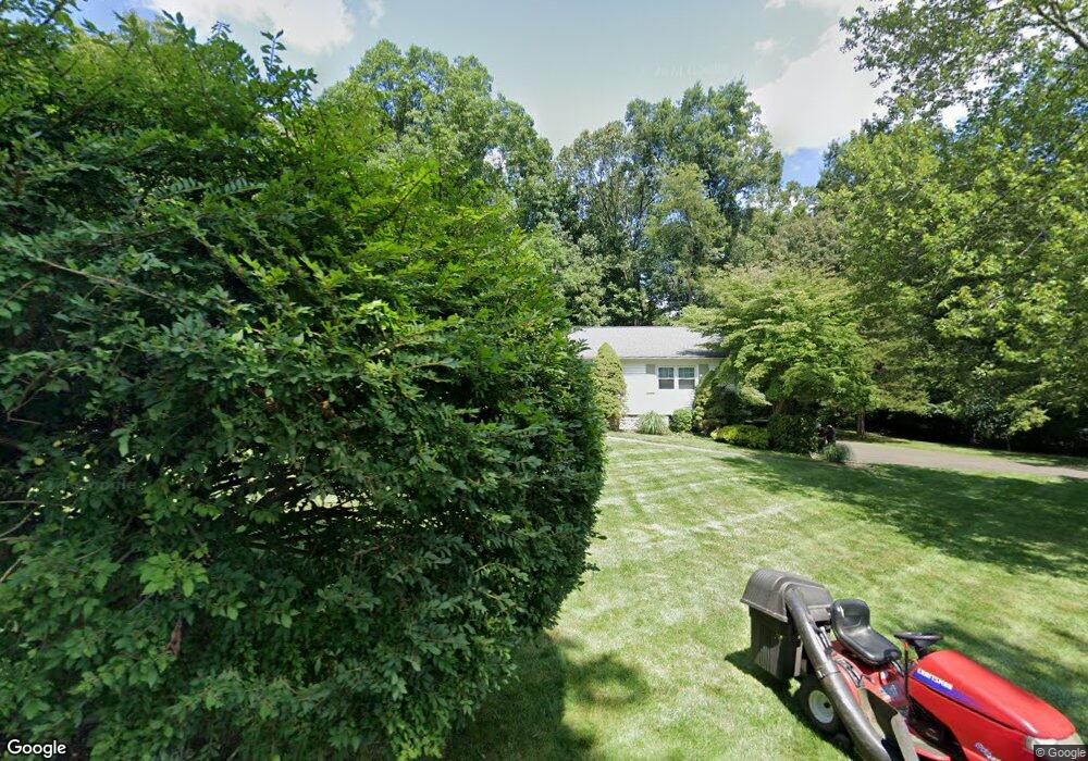
16 Rolling Ridge Rd Wilton, CT 06897
Estimated Value: $871,000 - $1,052,000
4
Beds
2
Baths
1,648
Sq Ft
$590/Sq Ft
Est. Value
About This Home
This home is located at 16 Rolling Ridge Rd, Wilton, CT 06897 and is currently estimated at $971,607, approximately $589 per square foot. 16 Rolling Ridge Rd is a home located in Fairfield County with nearby schools including Miller-Driscoll School, Cider Mill School, and Middlebrook School.
Ownership History
Date
Name
Owned For
Owner Type
Purchase Details
Closed on
Jun 24, 2005
Sold by
Whitlow Douglas A and Whitlow Heidi L
Bought by
Smith Matthew M and Smith Lisa M
Current Estimated Value
Home Financials for this Owner
Home Financials are based on the most recent Mortgage that was taken out on this home.
Original Mortgage
$579,900
Outstanding Balance
$302,548
Interest Rate
5.75%
Estimated Equity
$669,059
Purchase Details
Closed on
Sep 22, 1994
Sold by
Lenz Carolyn
Bought by
Whitlow Doug and Whitlow Heidi
Create a Home Valuation Report for This Property
The Home Valuation Report is an in-depth analysis detailing your home's value as well as a comparison with similar homes in the area
Home Values in the Area
Average Home Value in this Area
Purchase History
| Date | Buyer | Sale Price | Title Company |
|---|---|---|---|
| Smith Matthew M | $725,000 | -- | |
| Whitlow Doug | $265,000 | -- |
Source: Public Records
Mortgage History
| Date | Status | Borrower | Loan Amount |
|---|---|---|---|
| Open | Whitlow Doug | $579,900 | |
| Previous Owner | Whitlow Doug | $110,000 | |
| Previous Owner | Whitlow Doug | $337,500 |
Source: Public Records
Tax History Compared to Growth
Tax History
| Year | Tax Paid | Tax Assessment Tax Assessment Total Assessment is a certain percentage of the fair market value that is determined by local assessors to be the total taxable value of land and additions on the property. | Land | Improvement |
|---|---|---|---|---|
| 2025 | $11,276 | $461,930 | $292,250 | $169,680 |
| 2024 | $11,059 | $461,930 | $292,250 | $169,680 |
| 2023 | $10,165 | $347,410 | $279,440 | $67,970 |
| 2022 | $9,807 | $347,410 | $279,440 | $67,970 |
| 2021 | $9,682 | $347,410 | $279,440 | $67,970 |
| 2020 | $9,540 | $347,410 | $279,440 | $67,970 |
| 2019 | $9,915 | $347,410 | $279,440 | $67,970 |
| 2018 | $9,553 | $338,870 | $279,300 | $59,570 |
| 2017 | $9,410 | $338,870 | $279,300 | $59,570 |
| 2016 | $9,265 | $338,870 | $279,300 | $59,570 |
| 2015 | $9,092 | $338,870 | $279,300 | $59,570 |
| 2014 | $8,983 | $338,870 | $279,300 | $59,570 |
Source: Public Records
Map
Nearby Homes
- 38 Honey Hill Rd
- 33 Cannon Rd
- 30 Black Alder Ln
- 23 Wilson Rd
- 00 Old Mill Rd
- 175 Mountain Rd
- 96 Georgetown Rd
- 35 Branch Brook Rd
- 112 Middlebrook Farm Rd
- 0 Old Mill Rd
- 4 Trails End Rd
- 12 Upper Parish Dr
- 20 Georgetown Rd
- 15 Mountain View Dr
- 54 Mountain Rd
- 335 Georgetown Rd
- 33 Middlebrook Farm Rd
- 326 Georgetown Rd
- 0 Mountain Rd
- 185 Sturges Ridge Rd
- 24 Rolling Ridge Rd
- 41 Scribner Hill Rd
- 4 Rolling Ridge Rd
- 15 Rolling Ridge Rd
- 17 Rolling Ridge Rd
- 7 Rolling Ridge Rd
- 21 Rolling Ridge Rd
- 130 Blue Ridge Rd
- 31 Blue Ridge Rd
- 25 Rolling Ridge Rd
- 35 Blue Ridge Rd
- 44 Blue Ridge Rd
- 76 Blue Ridge Rd
- 35 Scribner Hill Rd
- 43 Blue Ridge Rd Unit 2
- 39 Scribner Hill Rd
- 100 Blue Ridge Rd
- 50 Blue Ridge Rd
- 86 Blue Ridge Rd
- 36 Scribner Hill Rd