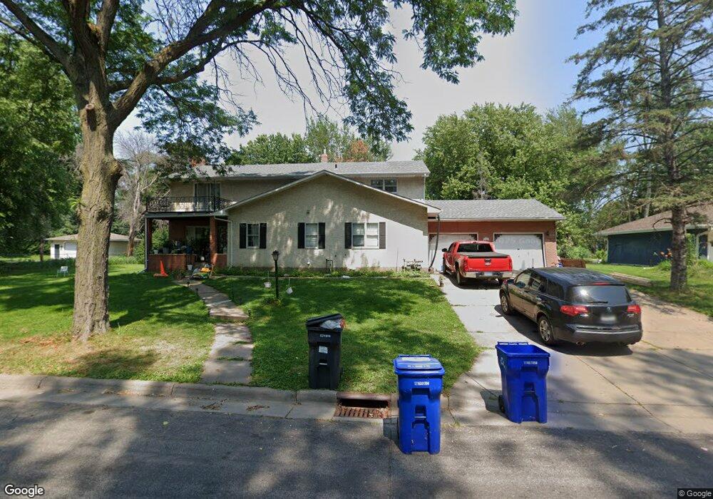
1601 1601 Leone Ave St. Paul, MN 55106
Battle Creek NeighborhoodEstimated Value: $414,000 - $476,000
3
Beds
3
Baths
2,492
Sq Ft
$174/Sq Ft
Est. Value
About This Home
This home is located at 1601 1601 Leone Ave, St. Paul, MN 55106 and is currently estimated at $433,753, approximately $174 per square foot. 1601 1601 Leone Ave is a home located in Ramsey County with nearby schools including Highwood Hills Elementary School, Battle Creek Middle School, and Harding Senior High School.
Ownership History
Date
Name
Owned For
Owner Type
Purchase Details
Closed on
Feb 25, 2021
Sold by
Moua Scott and Xiong Julie
Bought by
Moua Houa and Lee Mai Wang
Current Estimated Value
Home Financials for this Owner
Home Financials are based on the most recent Mortgage that was taken out on this home.
Original Mortgage
$329,568
Outstanding Balance
$295,434
Interest Rate
2.7%
Mortgage Type
FHA
Estimated Equity
$138,319
Create a Home Valuation Report for This Property
The Home Valuation Report is an in-depth analysis detailing your home's value as well as a comparison with similar homes in the area
Home Values in the Area
Average Home Value in this Area
Purchase History
| Date | Buyer | Sale Price | Title Company |
|---|---|---|---|
| Moua Houa | $345,000 | First American Title Ins Co | |
| Moua Houa Houa | $345,000 | -- |
Source: Public Records
Mortgage History
| Date | Status | Borrower | Loan Amount |
|---|---|---|---|
| Open | Moua Houa | $329,568 | |
| Closed | Moua Houa Houa | $329,568 |
Source: Public Records
Tax History Compared to Growth
Tax History
| Year | Tax Paid | Tax Assessment Tax Assessment Total Assessment is a certain percentage of the fair market value that is determined by local assessors to be the total taxable value of land and additions on the property. | Land | Improvement |
|---|---|---|---|---|
| 2025 | $7,724 | $405,600 | $76,300 | $329,300 |
| 2023 | $7,724 | $365,200 | $76,300 | $288,900 |
| 2022 | $5,900 | $317,600 | $76,300 | $241,300 |
| 2021 | $4,912 | $304,300 | $76,300 | $228,000 |
| 2020 | $4,792 | $295,200 | $76,300 | $218,900 |
| 2019 | $4,976 | $268,300 | $76,300 | $192,000 |
| 2018 | $4,530 | $282,400 | $76,300 | $206,100 |
| 2017 | $4,648 | $269,800 | $67,200 | $202,600 |
| 2016 | $3,428 | $0 | $0 | $0 |
| 2015 | $3,522 | $218,500 | $67,200 | $151,300 |
| 2014 | $3,138 | $0 | $0 | $0 |
Source: Public Records
Map
Nearby Homes
- 237 Sigurd St
- 267 Hazelwood St
- 201 Dora Ct W
- 1747 Louise Ave
- 1600 Old Hudson Rd
- 1443 Pacific St
- 1538 Wilson Ave
- 125 Battle Creek Place
- 136 White Bear Ave N
- 49 Battle Creek Place
- 244 Point Douglas Rd N
- 1333 Pacific St
- 1821 Wilson Ave
- 271 English St
- 1935 Warbler Ln
- 500 Etna St Unit 104
- 1685 Fremont Ave
- 1320 Wilson Ave
- 1450 Fremont Ave
- 1351 3rd St E
- 1601 Leone Ave
- 1619 Leone Ave
- 1589 Leone Ave
- 1631 Leone Ave
- 1583 Leone Ave
- 1625 Upper Afton Rd Unit C
- 1625 Upper Afton Rd Unit D
- 1625 Upper Afton Rd Unit B
- 1625 Upper Afton Rd
- 1622 Burns Ave
- 1638 Leone Ave
- 1641 Leone Ave
- 1584 Leone Ave
- 1625 1625 Upper Afton Rd
- 1618 Burns Ave
- 1579 Leone Ave
- 1630 Burns Ave
- 1642 Burns Ave
- 1623 Upper Afton Rd Unit D
- 1623 Upper Afton Rd Unit B