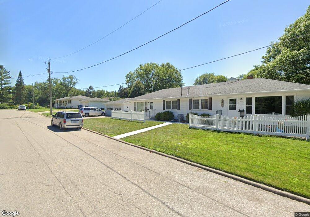
1604 Guernsey Ct Unit 1606 Waterloo, IA 50702
Estimated Value: $192,000 - $217,194
4
Beds
3
Baths
1,632
Sq Ft
$126/Sq Ft
Est. Value
About This Home
This home is located at 1604 Guernsey Ct Unit 1606, Waterloo, IA 50702 and is currently estimated at $206,299, approximately $126 per square foot. 1604 Guernsey Ct Unit 1606 is a home located in Black Hawk County with nearby schools including Kingsley Elementary School, Hoover Middle School, and West High School.
Ownership History
Date
Name
Owned For
Owner Type
Purchase Details
Closed on
Sep 21, 2018
Sold by
Langan Norris R and Langan Janet K
Bought by
Meaney Investments Llc
Current Estimated Value
Home Financials for this Owner
Home Financials are based on the most recent Mortgage that was taken out on this home.
Original Mortgage
$165,500
Outstanding Balance
$144,029
Interest Rate
4.5%
Mortgage Type
Credit Line Revolving
Estimated Equity
$62,271
Create a Home Valuation Report for This Property
The Home Valuation Report is an in-depth analysis detailing your home's value as well as a comparison with similar homes in the area
Home Values in the Area
Average Home Value in this Area
Purchase History
| Date | Buyer | Sale Price | Title Company |
|---|---|---|---|
| Meaney Investments Llc | $142,500 | -- |
Source: Public Records
Mortgage History
| Date | Status | Borrower | Loan Amount |
|---|---|---|---|
| Open | Meaney Investments Llc | $165,500 |
Source: Public Records
Tax History Compared to Growth
Tax History
| Year | Tax Paid | Tax Assessment Tax Assessment Total Assessment is a certain percentage of the fair market value that is determined by local assessors to be the total taxable value of land and additions on the property. | Land | Improvement |
|---|---|---|---|---|
| 2025 | $3,886 | $177,190 | $20,110 | $157,080 |
| 2024 | $3,886 | $179,160 | $20,110 | $159,050 |
| 2023 | $2,730 | $179,160 | $20,110 | $159,050 |
| 2022 | $2,656 | $133,190 | $20,110 | $113,080 |
| 2021 | $2,724 | $133,190 | $20,110 | $113,080 |
| 2020 | $2,854 | $128,590 | $15,800 | $112,790 |
| 2019 | $5,340 | $128,590 | $15,800 | $112,790 |
| 2018 | $2,672 | $128,590 | $15,800 | $112,790 |
| 2017 | $2,632 | $128,590 | $15,800 | $112,790 |
| 2016 | $2,596 | $123,140 | $15,800 | $107,340 |
| 2015 | $2,596 | $123,140 | $15,800 | $107,340 |
| 2014 | $2,516 | $117,490 | $15,800 | $101,690 |
Source: Public Records
Map
Nearby Homes
- 415 Bourland Ave Unit 417
- 1809 Baltimore St
- 711 Cornwall Ave
- 117 Lombard St
- 805 E Mitchell Ave
- 707 Lorraine Ave
- 710 Eureka St
- 203 Rosebud Ave
- 922 E Mitchell Ave
- 812 Hawthorne Ave
- 814 Locke Ave
- 2204 Easley St
- 215 Frederic Ave
- 1107 E Mitchell Ave
- 122 Maryland Ave
- 928 Kimball Ave
- 1101 Glenny Ave
- 903 Kimball Ave
- 117 Bertch Ave
- 826 Williston Ave
- 1604-1606 Guernsey Ct
- 410 E Mitchell Ave
- 428 E Mitchell Ave
- 1611 Guernsey Ct
- 408 E Mitchell Ave
- 500 E Mitchell Ave
- 1618 Guernsey Ct Unit 1620
- 507 E Mitchell Ave
- 411 E Mitchell Ave
- 1623 Guernsey Ct
- 324 E Mitchell Ave
- 407 Bourland Ave Unit 409
- 510 E Mitchell Ave Unit 512
- 515 E Mitchell Ave
- 316 E Mitchell Ave
- 414 Bourland Ave Unit 416
- 410 Bourland Ave Unit 412
- 313 Bourland Ave Unit 5
- 1620 Baltimore St
- 1505 Vermont St