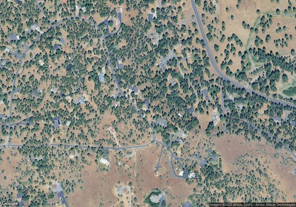
16048 Cattle Drive Rd Sisters, OR 97759
Estimated Value: $760,624 - $1,092,000
6
Beds
3
Baths
2,485
Sq Ft
$367/Sq Ft
Est. Value
About This Home
This home is located at 16048 Cattle Drive Rd, Sisters, OR 97759 and is currently estimated at $913,156, approximately $367 per square foot. 16048 Cattle Drive Rd is a home located in Deschutes County with nearby schools including Sisters Elementary School, Sisters Middle School, and Sisters High School.
Ownership History
Date
Name
Owned For
Owner Type
Purchase Details
Closed on
Apr 18, 2018
Sold by
Pajutee Priit M
Bought by
Priit M Pajutee Revocable Family Trust and Pajutee
Current Estimated Value
Purchase Details
Closed on
Nov 17, 2017
Sold by
Pajutee Priit
Bought by
Pajutee Priit M and The Priit M Pajutee Revocable Family Tru
Purchase Details
Closed on
Sep 8, 2010
Sold by
Pajutee Maret
Bought by
Pajutee Tarmo and Pajutee Priit
Purchase Details
Closed on
Feb 14, 2005
Sold by
Pajutee Priit
Bought by
Pajutee Tarno
Home Financials for this Owner
Home Financials are based on the most recent Mortgage that was taken out on this home.
Original Mortgage
$185,000
Interest Rate
5.79%
Mortgage Type
New Conventional
Create a Home Valuation Report for This Property
The Home Valuation Report is an in-depth analysis detailing your home's value as well as a comparison with similar homes in the area
Home Values in the Area
Average Home Value in this Area
Purchase History
| Date | Buyer | Sale Price | Title Company |
|---|---|---|---|
| Priit M Pajutee Revocable Family Trust | -- | None Listed On Document | |
| Pajutee Priit M | -- | None Available | |
| Pajutee Tarmo | -- | Accommodation | |
| Pajutee Tarno | -- | First Amer Title Ins Co Or | |
| Pajutee Tarmo | -- | First Amer Title Ins Co Or |
Source: Public Records
Mortgage History
| Date | Status | Borrower | Loan Amount |
|---|---|---|---|
| Previous Owner | Pajutee Tarno | $185,000 |
Source: Public Records
Tax History
| Year | Tax Paid | Tax Assessment Tax Assessment Total Assessment is a certain percentage of the fair market value that is determined by local assessors to be the total taxable value of land and additions on the property. | Land | Improvement |
|---|---|---|---|---|
| 2025 | $4,901 | $311,870 | -- | -- |
| 2024 | $4,749 | $302,790 | -- | -- |
| 2023 | $4,616 | $293,980 | $0 | $0 |
| 2022 | $4,256 | $277,110 | $0 | $0 |
| 2021 | $4,281 | $269,040 | $0 | $0 |
| 2020 | $4,065 | $269,040 | $0 | $0 |
| 2019 | $3,969 | $261,210 | $0 | $0 |
| 2018 | $3,841 | $253,610 | $0 | $0 |
| 2017 | $3,724 | $246,230 | $0 | $0 |
| 2016 | $3,677 | $239,060 | $0 | $0 |
| 2015 | $3,447 | $232,100 | $0 | $0 |
| 2014 | $3,214 | $225,340 | $0 | $0 |
Source: Public Records
Map
Nearby Homes
- 69987 W Meadow Pkwy
- 69944 Meadow View Rd
- 69947 Meadow View Rd
- 16465 Suntree Ln
- 15689 Paddock Green
- 69305 Hawksflight Dr
- 15624 National Forest Ln
- 69219 Yellow Daisy Ln
- 230 E Diamond Peak Ave Unit 32
- 1151 N Jantzen Ct
- 988 E Black Butte Ave Unit 30
- 936 E Black Butte Ave
- 1094 E Horse Back Trail
- 282 W Lundgren Mill Dr
- 1025 E Horse Back Trail
- 16966 Canyon Crest Dr
- 363 E Aspenwood Ave
- 16630 Wilt Rd
- 69482 Panoramic Dr
- 0 N Spruce St
- 16044 Cattle Drive Rd
- 16052 Cattle Drive Rd
- 16064 Cattle Dr
- 16045 Cattle Drive Rd
- 16064 Lower Cattle Dr
- 16060 Lower Cattle Dr
- 16068 Lower Cattle Dr
- 16068 Lower Cattle Dr
- 16056 Cattle Drive Rd
- 16040 Cattle Drive Rd
- 16116 Old Juniper Rd
- 16041 Cattle Drive Rd
- 16063 Lower Cattle Dr
- 69665 Omaha Rd
- 16061 Lower Cattle Dr
- 16037 Cattle
- 16037 Cattle Drive Rd
- 16072 Lower Cattle Dr
- 16067 Lower Cattle Dr
