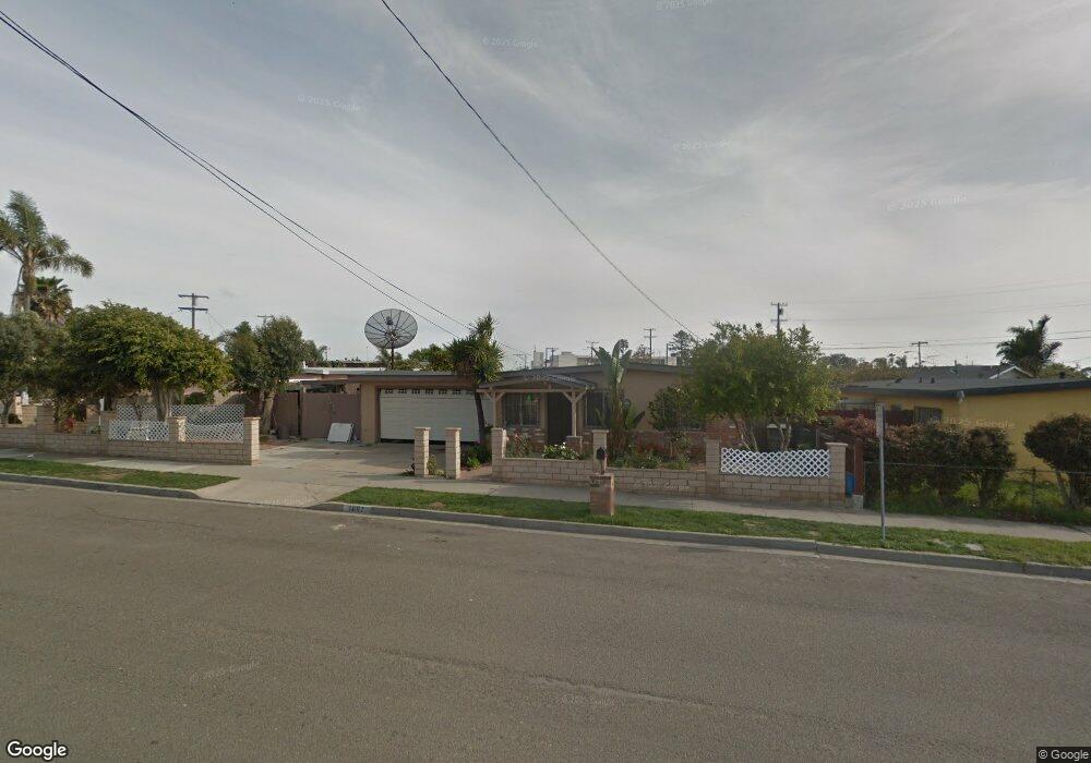
1607 Laurel St Oceanside, CA 92058
East Side Capistrano NeighborhoodEstimated Value: $803,000 - $990,000
3
Beds
2
Baths
1,528
Sq Ft
$589/Sq Ft
Est. Value
About This Home
This home is located at 1607 Laurel St, Oceanside, CA 92058 and is currently estimated at $899,753, approximately $588 per square foot. 1607 Laurel St is a home located in San Diego County with nearby schools including Laurel Elementary School, Oceanside High School, and St. Mary Star Of The Sea Elementary School.
Ownership History
Date
Name
Owned For
Owner Type
Purchase Details
Closed on
Dec 2, 1997
Sold by
Solorio and Eva
Bought by
Solorio Rafael and Solorio Eva
Current Estimated Value
Home Financials for this Owner
Home Financials are based on the most recent Mortgage that was taken out on this home.
Original Mortgage
$19,000
Interest Rate
7.23%
Purchase Details
Closed on
Jul 3, 1990
Create a Home Valuation Report for This Property
The Home Valuation Report is an in-depth analysis detailing your home's value as well as a comparison with similar homes in the area
Home Values in the Area
Average Home Value in this Area
Purchase History
| Date | Buyer | Sale Price | Title Company |
|---|---|---|---|
| Solorio Rafael | -- | Gateway Title Company | |
| -- | $132,500 | -- |
Source: Public Records
Mortgage History
| Date | Status | Borrower | Loan Amount |
|---|---|---|---|
| Closed | Solorio Rafael | $19,000 |
Source: Public Records
Tax History
| Year | Tax Paid | Tax Assessment Tax Assessment Total Assessment is a certain percentage of the fair market value that is determined by local assessors to be the total taxable value of land and additions on the property. | Land | Improvement |
|---|---|---|---|---|
| 2025 | $1,538 | $135,685 | $63,853 | $71,832 |
| 2024 | $1,538 | $133,025 | $62,601 | $70,424 |
| 2023 | $1,491 | $130,418 | $61,374 | $69,044 |
| 2022 | $1,469 | $127,862 | $60,171 | $67,691 |
| 2021 | $1,474 | $125,356 | $58,992 | $66,364 |
| 2020 | $1,430 | $124,072 | $58,388 | $65,684 |
| 2019 | $1,390 | $121,641 | $57,244 | $64,397 |
| 2018 | $1,375 | $119,257 | $56,122 | $63,135 |
| 2017 | $70 | $116,920 | $55,022 | $61,898 |
| 2016 | $1,306 | $114,629 | $53,944 | $60,685 |
| 2015 | $1,269 | $112,908 | $53,134 | $59,774 |
| 2014 | $1,222 | $110,698 | $52,094 | $58,604 |
Source: Public Records
Map
Nearby Homes
- 430 Stoney Point Way Unit 129
- 445 Ribbon Beach Way Unit 278
- 415 Stoney Point Way Unit 106
- 405 Ribbon Beach Way Unit 249
- 1330 Bush St
- 421 N Weitzel St
- 780 Harbor Cliff Way Unit 169
- 1786 Jasmine Way
- 845 Harbor Cliff Way Unit 305
- 509 N Horne St
- 819 Capistrano Dr
- 1303 Center Ave
- 515 N Nevada St
- 0 Capistrano Dr
- 2245 Hilldale St
- 1223 Division St
- 612 N Freeman St
- 505 N Freeman St Unit 202
- 505 N Freeman St Unit 201
- 580 Sportfisher Dr
- 915 Langford St
- 1601 Laurel St
- 916 Holly St
- 1201 Langford St
- 911 Langford St
- 912 Holly St
- 1202 Holly St
- 1203 Langford St
- 907 Langford St
- 911 Holly St Unit 15
- 1001 Holly St
- 908 Holly St
- 1205 Langford St
- 1208 Holly St
- 912 Langford St
- 1202 Langford St
- 1209 Lanford St
- 1209 Langford St
- 1518 Marquette St
- 1517 Marquette St