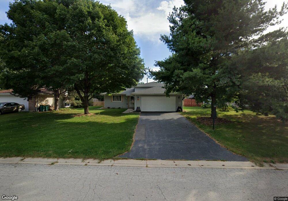
161 Dolores St Oswego, IL 60543
Northwest Oswego NeighborhoodEstimated Value: $331,000 - $341,000
3
Beds
2
Baths
1,104
Sq Ft
$303/Sq Ft
Est. Value
About This Home
This home is located at 161 Dolores St, Oswego, IL 60543 and is currently estimated at $334,629, approximately $303 per square foot. 161 Dolores St is a home located in Kendall County with nearby schools including Fox Chase Elementary School, Traughber Junior High School, and Oswego High School.
Ownership History
Date
Name
Owned For
Owner Type
Purchase Details
Closed on
Oct 18, 2017
Sold by
Lehmann Wayne R and Lehmann Patricia N
Bought by
Vogel Russell F and Vogel Jacqulyn S
Current Estimated Value
Home Financials for this Owner
Home Financials are based on the most recent Mortgage that was taken out on this home.
Original Mortgage
$120,000
Outstanding Balance
$100,126
Interest Rate
3.78%
Mortgage Type
New Conventional
Estimated Equity
$234,503
Purchase Details
Closed on
Jun 1, 1988
Create a Home Valuation Report for This Property
The Home Valuation Report is an in-depth analysis detailing your home's value as well as a comparison with similar homes in the area
Home Values in the Area
Average Home Value in this Area
Purchase History
| Date | Buyer | Sale Price | Title Company |
|---|---|---|---|
| Vogel Russell F | $175,000 | Advisos Title Network Llc | |
| -- | $87,500 | -- |
Source: Public Records
Mortgage History
| Date | Status | Borrower | Loan Amount |
|---|---|---|---|
| Open | Vogel Russell F | $120,000 |
Source: Public Records
Tax History Compared to Growth
Tax History
| Year | Tax Paid | Tax Assessment Tax Assessment Total Assessment is a certain percentage of the fair market value that is determined by local assessors to be the total taxable value of land and additions on the property. | Land | Improvement |
|---|---|---|---|---|
| 2024 | $7,138 | $96,172 | $18,767 | $77,405 |
| 2023 | $6,660 | $86,641 | $16,907 | $69,734 |
| 2022 | $6,660 | $80,973 | $15,801 | $65,172 |
| 2021 | $6,350 | $74,975 | $14,631 | $60,344 |
| 2020 | $6,210 | $72,791 | $14,205 | $58,586 |
| 2019 | $6,423 | $73,987 | $14,205 | $59,782 |
| 2018 | $5,416 | $62,962 | $12,088 | $50,874 |
| 2017 | $5,227 | $57,763 | $11,090 | $46,673 |
| 2016 | $2,566 | $56,081 | $10,767 | $45,314 |
| 2015 | $2,369 | $50,072 | $9,613 | $40,459 |
| 2014 | -- | $48,614 | $9,333 | $39,281 |
| 2013 | -- | $52,273 | $10,035 | $42,238 |
Source: Public Records
Map
Nearby Homes
- 2800 Light Rd Unit 102
- 2300 Light Rd Unit 209
- 2600 Light Rd Unit 210
- 1415 State Route 31
- 805 Cougar Ln
- 7.43 Acres Vacant La State Route 31
- 602 Clearwater Ct Unit 2
- 431 Badger Ln
- 5.43 B-3 Commercial State Route 31
- 116 River Mist Dr
- 141 River Mist Dr
- 156 River Mist Dr
- 505 Parkland Ct
- 2110 State Route 31
- 238 Willowwood Dr
- 125 Presidential Blvd Unit 3248
- 514 Bentson St
- 82 Ashlawn Ave
- 9 Cebold Dr
- 5055 U S 34
- 159 Dolores St
- 163 Dolores St
- 612 Manhattan Cir Unit 2
- 157 Dolores St
- 614 Manhattan Cir Unit 2
- 165 Dolores St Unit 2
- 610 Manhattan Cir Unit 2
- 616 Manhattan Cir Unit 2
- 162 Dolores St
- 608 Manhattan Cir
- 160 Dolores St
- 155 Dolores St Unit 1
- 164 Dolores St
- 158 Dolores St
- 606 Manhattan Cir
- 156 Dolores St
- 153 Dolores St
- 167 Century Dr Unit 2
- 168 Dolores St