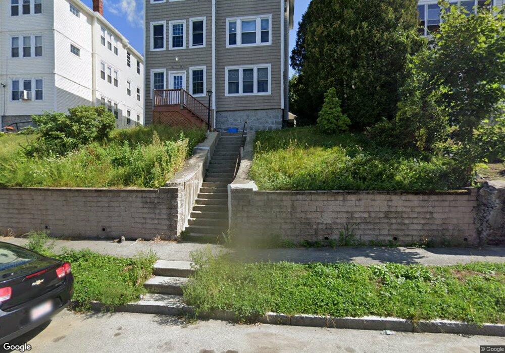
161 Perry Ave Unit 1 Worcester, MA 01610
Vernon Hill NeighborhoodEstimated Value: $268,000 - $366,000
3
Beds
1
Bath
1,382
Sq Ft
$226/Sq Ft
Est. Value
About This Home
This home is located at 161 Perry Ave Unit 1, Worcester, MA 01610 and is currently estimated at $311,775, approximately $225 per square foot. 161 Perry Ave Unit 1 is a home located in Worcester County with nearby schools including Vernon Hill Elementary School, Jacob Hiatt Magnet School, and Chandler Magnet.
Ownership History
Date
Name
Owned For
Owner Type
Purchase Details
Closed on
Jul 2, 2008
Sold by
Long Beach Mtg Loan T
Bought by
Cariglia Joseph
Current Estimated Value
Purchase Details
Closed on
Apr 8, 2008
Sold by
Morttey Thomas
Bought by
Deutsche Bank Natl T C
Purchase Details
Closed on
Jun 8, 2006
Sold by
Sapong Rowland
Bought by
Morttey Thomas
Home Financials for this Owner
Home Financials are based on the most recent Mortgage that was taken out on this home.
Original Mortgage
$185,250
Interest Rate
6.62%
Mortgage Type
Purchase Money Mortgage
Create a Home Valuation Report for This Property
The Home Valuation Report is an in-depth analysis detailing your home's value as well as a comparison with similar homes in the area
Home Values in the Area
Average Home Value in this Area
Purchase History
| Date | Buyer | Sale Price | Title Company |
|---|---|---|---|
| Cariglia Joseph | $12,000 | -- | |
| Deutsche Bank Natl T C | $115,000 | -- | |
| Morttey Thomas | $195,000 | -- |
Source: Public Records
Mortgage History
| Date | Status | Borrower | Loan Amount |
|---|---|---|---|
| Previous Owner | Morttey Thomas | $185,250 |
Source: Public Records
Tax History Compared to Growth
Tax History
| Year | Tax Paid | Tax Assessment Tax Assessment Total Assessment is a certain percentage of the fair market value that is determined by local assessors to be the total taxable value of land and additions on the property. | Land | Improvement |
|---|---|---|---|---|
| 2025 | $1,852 | $140,400 | $0 | $140,400 |
| 2024 | $1,709 | $124,300 | $0 | $124,300 |
| 2023 | $1,560 | $108,800 | $0 | $108,800 |
| 2022 | $1,084 | $71,300 | $0 | $71,300 |
| 2021 | $1,096 | $67,300 | $0 | $67,300 |
| 2020 | $1,241 | $73,000 | $0 | $73,000 |
| 2019 | $1,060 | $58,900 | $0 | $58,900 |
| 2018 | $1,074 | $56,800 | $0 | $56,800 |
| 2017 | $1,161 | $60,400 | $0 | $60,400 |
| 2016 | $1,245 | $60,400 | $0 | $60,400 |
| 2015 | $1,212 | $60,400 | $0 | $60,400 |
| 2014 | $1,180 | $60,400 | $0 | $60,400 |
Source: Public Records
Map
Nearby Homes
- 161 Perry Ave Unit 3
- 161 Perry Ave Unit 2
- 165 Perry Ave
- 157 Perry Ave Unit 3
- 157 Perry Ave Unit 159
- 157 Perry Ave Unit 2
- 167 Perry Ave
- 110 Sterling St
- 110 Sterling St Unit 3
- 110 Sterling St Unit 2
- 110 Sterling St Unit 1
- 171 Perry Ave
- 114 Sterling St Unit C
- 114 Sterling St Unit B
- 114 Sterling St Unit A
- 114 Sterling St Unit 3
- 114 Sterling St Unit 2
- 114 Sterling St Unit 1
- 169 Perry Ave
- 169 Perry Ave Unit 1