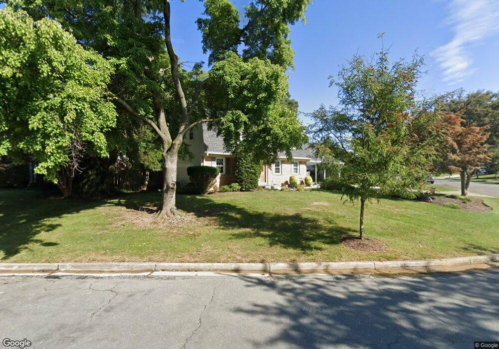
16100 Jerald Rd Laurel, MD 20707
West Laurel NeighborhoodEstimated Value: $484,347 - $578,000
Studio
4
Baths
1,886
Sq Ft
$283/Sq Ft
Est. Value
About This Home
This home is located at 16100 Jerald Rd, Laurel, MD 20707 and is currently estimated at $533,587, approximately $282 per square foot. 16100 Jerald Rd is a home located in Prince George's County with nearby schools including Bond Mill Elementary, Martin Luther King Jr. Middle School, and Laurel High School.
Ownership History
Date
Name
Owned For
Owner Type
Purchase Details
Closed on
Dec 7, 2020
Sold by
Lyles Michael Neal and Lyles Anne Louise
Bought by
Lyles Michael Neal and The Michael Neal Lyles Living
Current Estimated Value
Purchase Details
Closed on
Mar 23, 1994
Sold by
Cutlip David L
Bought by
Lyles Michael N
Home Financials for this Owner
Home Financials are based on the most recent Mortgage that was taken out on this home.
Original Mortgage
$172,800
Interest Rate
7.15%
Create a Home Valuation Report for This Property
The Home Valuation Report is an in-depth analysis detailing your home's value as well as a comparison with similar homes in the area
Home Values in the Area
Average Home Value in this Area
Purchase History
| Date | Buyer | Sale Price | Title Company |
|---|---|---|---|
| Lyles Michael Neal | -- | None Available | |
| Lyles Michael N | $192,000 | -- |
Source: Public Records
Mortgage History
| Date | Status | Borrower | Loan Amount |
|---|---|---|---|
| Open | Lyles Michael N | $320,400 | |
| Closed | Lyles Michael N | $172,800 |
Source: Public Records
Tax History
| Year | Tax Paid | Tax Assessment Tax Assessment Total Assessment is a certain percentage of the fair market value that is determined by local assessors to be the total taxable value of land and additions on the property. | Land | Improvement |
|---|---|---|---|---|
| 2025 | $5,498 | $475,400 | $126,200 | $349,200 |
| 2024 | $5,498 | $442,300 | -- | -- |
| 2023 | $5,250 | $409,200 | $0 | $0 |
| 2022 | $5,013 | $376,100 | $101,200 | $274,900 |
| 2021 | $4,831 | $365,367 | $0 | $0 |
| 2020 | $4,753 | $354,633 | $0 | $0 |
| 2019 | $4,651 | $343,900 | $100,600 | $243,300 |
| 2018 | $4,539 | $336,067 | $0 | $0 |
| 2017 | $4,453 | $328,233 | $0 | $0 |
| 2016 | -- | $320,400 | $0 | $0 |
| 2015 | $3,801 | $309,633 | $0 | $0 |
| 2014 | $3,801 | $298,867 | $0 | $0 |
Source: Public Records
Map
Nearby Homes
- 6201 Goodman Rd
- 6003 Windham Rd
- 14005 Barkham Ct
- 15611 Riding Stable Rd
- 7004 Fitzpatrick Dr
- 6918 Scotch Dr
- 7019 Fitzpatrick Dr
- 7002 Scotch Dr
- 7106 Donston Dr
- 16140 Kenny Rd
- 7209 Brooklyn Bridge Rd
- 15712 Dorset Rd Unit 104
- 15708 Dorset Rd Unit 202
- 15706 Dorset Rd Unit 102
- 15603 Dorset Rd Unit 101
- 4402 Regalwood Terrace
- 15743 Millbrook Ln
- 1012 Flester Ln
- 1016 Flester Ln
- 4302 Regalwood Terrace
- 16030 Jerald Rd
- 16108 Jerald Rd
- 16028 Jerald Rd
- 16107 Jerald Rd
- 6225 Roblynn Rd
- 16101 Jerald Rd
- 16110 Jerald Rd
- 16109 Jerald Rd
- 16031 Jerald Rd
- 6223 Roblynn Rd
- 16105 Jerald Rd
- 16103 Jerald Rd
- 16026 Jerald Rd
- 16029 Jerald Rd
- 16101 Roblynn Ct
- 16111 Jerald Rd
- 16103 Roblynn Ct
- 16027 Jerald Rd
- 16113 Jerald Rd
- 16024 Jerald Rd
Your Personal Tour Guide
Ask me questions while you tour the home.