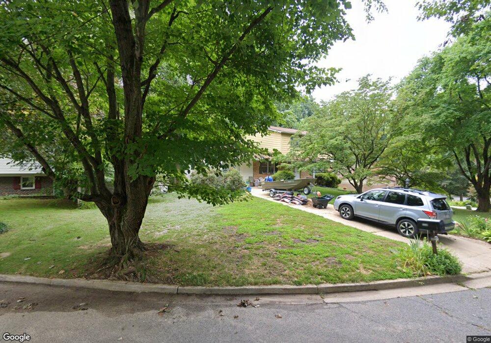
16138 Kenny Rd Laurel, MD 20707
West Laurel NeighborhoodEstimated Value: $461,942 - $588,000
Studio
4
Baths
1,770
Sq Ft
$299/Sq Ft
Est. Value
About This Home
This home is located at 16138 Kenny Rd, Laurel, MD 20707 and is currently estimated at $529,736, approximately $299 per square foot. 16138 Kenny Rd is a home located in Prince George's County with nearby schools including Bond Mill Elementary, Martin Luther King Jr. Middle School, and Laurel High School.
Ownership History
Date
Name
Owned For
Owner Type
Purchase Details
Closed on
May 27, 1994
Sold by
Rodriguez Christopher
Bought by
Slaght Gene C
Current Estimated Value
Home Financials for this Owner
Home Financials are based on the most recent Mortgage that was taken out on this home.
Original Mortgage
$124,000
Interest Rate
8.22%
Purchase Details
Closed on
Dec 28, 1987
Sold by
Piteleski William
Bought by
Rodriguez Christopher
Create a Home Valuation Report for This Property
The Home Valuation Report is an in-depth analysis detailing your home's value as well as a comparison with similar homes in the area
Home Values in the Area
Average Home Value in this Area
Purchase History
| Date | Buyer | Sale Price | Title Company |
|---|---|---|---|
| Slaght Gene C | $155,000 | -- | |
| Rodriguez Christopher | $148,000 | -- |
Source: Public Records
Mortgage History
| Date | Status | Borrower | Loan Amount |
|---|---|---|---|
| Closed | Slaght Gene C | $124,000 |
Source: Public Records
Tax History
| Year | Tax Paid | Tax Assessment Tax Assessment Total Assessment is a certain percentage of the fair market value that is determined by local assessors to be the total taxable value of land and additions on the property. | Land | Improvement |
|---|---|---|---|---|
| 2025 | $5,289 | $449,000 | $121,300 | $327,700 |
| 2024 | $5,289 | $427,467 | -- | -- |
| 2023 | $5,101 | $405,933 | $0 | $0 |
| 2022 | $4,866 | $384,400 | $101,300 | $283,100 |
| 2021 | $4,729 | $381,600 | $0 | $0 |
| 2020 | $4,691 | $378,800 | $0 | $0 |
| 2019 | $4,629 | $376,000 | $100,600 | $275,400 |
| 2018 | $5,371 | $361,433 | $0 | $0 |
| 2017 | $4,372 | $346,867 | $0 | $0 |
| 2016 | -- | $332,300 | $0 | $0 |
| 2015 | $3,649 | $315,800 | $0 | $0 |
| 2014 | $3,649 | $299,300 | $0 | $0 |
Source: Public Records
Map
Nearby Homes
- 16140 Kenny Rd
- 7019 Fitzpatrick Dr
- 7106 Donston Dr
- 15712 Dorset Rd Unit 104
- 15708 Dorset Rd Unit 202
- 7004 Fitzpatrick Dr
- 15706 Dorset Rd Unit 102
- 7209 Brooklyn Bridge Rd
- 7002 Scotch Dr
- 15603 Dorset Rd Unit 101
- 15743 Millbrook Ln
- 6918 Scotch Dr
- 8040 Sandy Spring Rd
- 7620 S Arbory Ln
- 7646 S Arbory Ln
- 15307 Arbory Way
- 6504 Walker Branch Dr
- 15046 Cherrywood Dr
- 6201 Goodman Rd
- 15020 Cherrywood Dr
- 16136 Kenny Rd
- 16135 Kenny Rd
- 16139 Kenny Rd
- 16134 Kenny Rd
- 16141 Kenny Rd
- 16132 Kenny Rd
- 16129 Kenny Rd
- 16130 Kenny Rd
- 16103 Kenny Ct
- 16105 Kenny Ct
- 7110 Redmiles Rd
- 7115 Redmiles Rd
- 16128 Kenny Rd
- 16127 Kenny Rd
- 7106 Redmiles Rd
- 16101 Kenny Ct
- 7109 Redmiles Rd
- 16126 Kenny Rd
- 7203 Donston Dr
- 16100 Kenny Ct
Your Personal Tour Guide
Ask me questions while you tour the home.